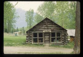
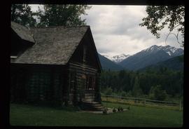
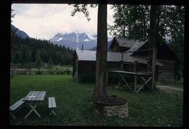
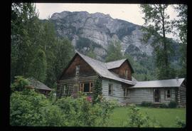
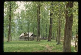
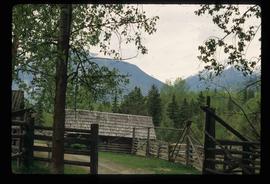
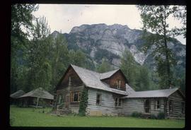
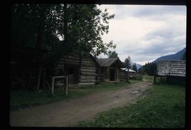
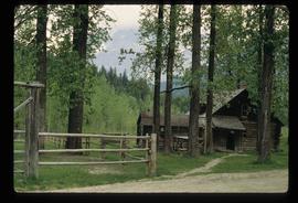
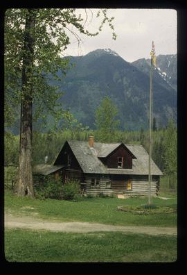
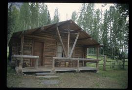
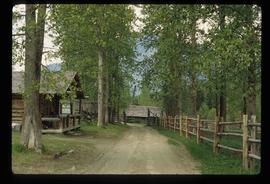
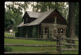
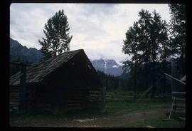
Image depicts the old trading post at Mount Robson Ranch.
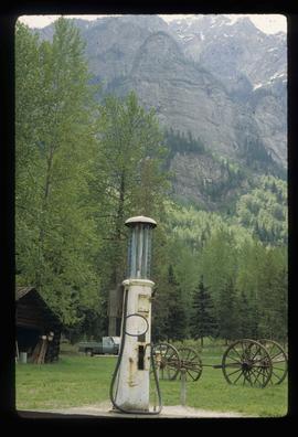
Image depicts an old gas pump at the Mount Robson Ranch.
File contains slides depicting the Mount Robson Ranch.
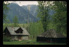
Image depicts the Mount Robson Ranch.
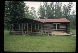
Image depicts the Mount Robson Ranch.
Image depicts the Mount Robson Ranch.
Image depicts the Mount Robson Ranch.
Image depicts the Mount Robson Ranch.
Image depicts the Mount Robson Ranch.
Image depicts the Mount Robson Ranch.
Image depicts the Mount Robson Ranch.
Image depicts the Mount Robson Ranch.
Image depicts the Mount Robson Ranch.
Image depicts the Mount Robson Ranch.
Image depicts the Mount Robson Ranch.
Image depicts the Mount Robson Ranch.
Image depicts the Mount Robson Ranch.
Image depicts the Mount Robson Ranch.
File contains slides depicting numerous individuals hiking up Mount Robson.
File consists of notes, clippings, and reproductions relating to Mount Robson and the Red Pass. Also includes photographs reproduced in 1982 depicting the Mount Robson Ranch (date of original photographs unknown).
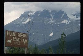
Image depicts Mount Robson while en route to Mount Robson Ranch in B.C.
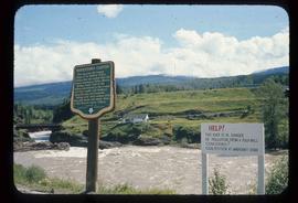
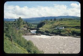
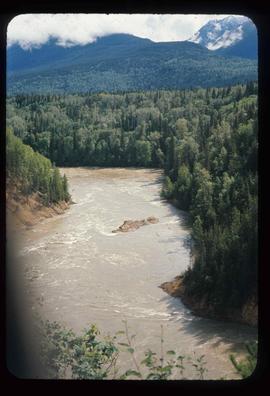
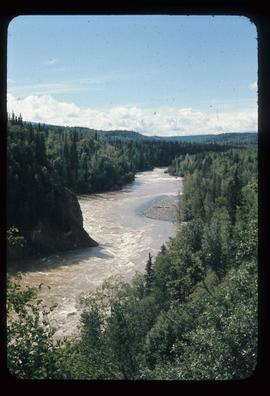
Image depicts the Bulkley River running through Moricetown Canyon.
Image depicts the Bulkley River running through Moricetown Canyon.
Image depicts the Bulkley River running through Moricetown Canyon.
Image depicts the Bulkley River running through Moricetown Canyon.
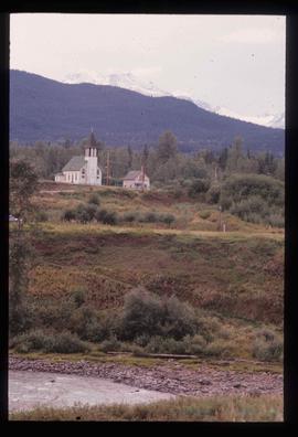
Image depicts a church on a hill in Moricetown, B.C.
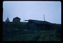
Image depicts a few old buildings, as well as several unknown individuals somewhere in Moricetown, B.C.
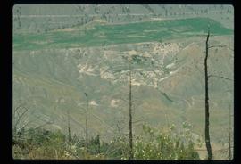
Image depicts an old earth flow in Moran Canyon, somewhere in the Lillooet area.
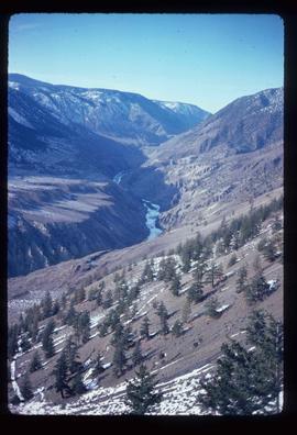
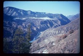
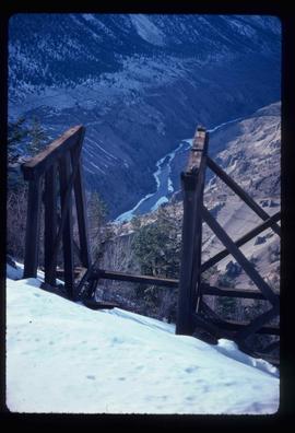
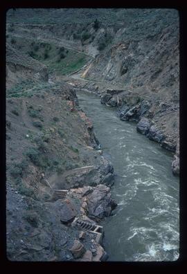
Image depicts the Fraser River running through the Moran Canyon near Lillooet, B.C.
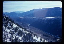
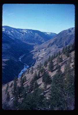
Image depicts a view of Moran Canyon in the Lillooet area. The Fraser River is visible on the left.
Image depicts the Fraser River running through the Moran Canyon near Lillooet, B.C.
Image depicts the Fraser River running through the Moran Canyon near Lillooet, B.C.
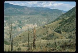
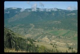
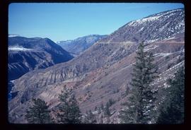
Image depicts a view of Moran Canyon in the Lillooet area.
Image depicts the Fraser River running through the Moran Canyon near Lillooet, B.C.
Image depicts the Fraser River running through the Moran Canyon near Lillooet, B.C.
Image depicts the Fraser River running through the Moran Canyon near Lillooet, B.C.
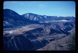
Image depicts the Moran Canyon near Lillooet, B.C.
Image depicts the Moran Canyon near Lillooet, B.C.
Image depicts what is possibly the Fraser River running through the Moran Canyon near Lillooet, B.C.
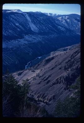
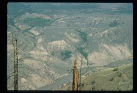
Image depicts the Moran Canyon; the Fraser River is visible near the bottom.
File contains slides depicting logging and equipment. Most appear to be locations around Prince George.
Image depicts a delta at Moberly Lake north of Chetwynd and south of Hudson's Hope, B.C.
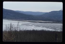
Image depicts an obstructed view of Moberly Lake, located north of Chetwynd and south of Hudson's Hope, B.C.
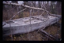
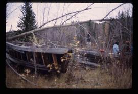
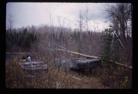
Image depicts the remains of the old Miworth Ferry, somewhere near Miworth, B.C.
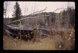
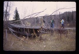
Image depicts two unknown individuals and the remains of the old Miworth Ferry, somewhere near Miworth, B.C.
Image depicts two unknown individuals and the remains of the old Miworth Ferry, somewhere near Miworth, B.C.
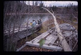
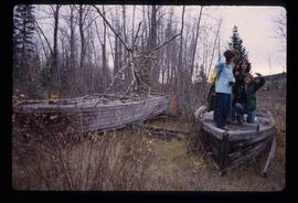
Image depicts four unknown individuals and the remains of the old Miworth Ferry, somewhere near Miworth, B.C.
Image depicts four unknown individuals and the remains of the old Miworth Ferry, somewhere near Miworth, B.C.
Image depicts four unknown individuals and the remains of the old Miworth Ferry, somewhere near Miworth, B.C.
Image depicts four unknown individuals and the remains of the old Miworth Ferry, somewhere near Miworth, B.C.
