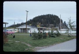
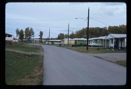
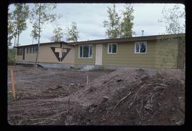
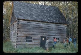
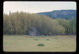
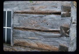
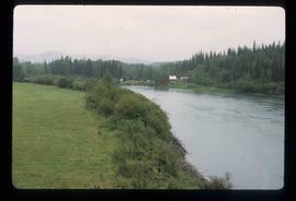
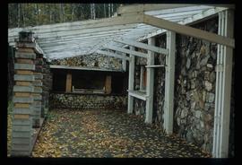
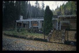
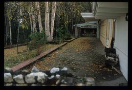
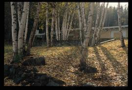
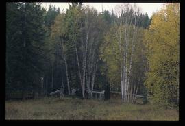
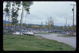
Image depicts a few buildings in Fraser Lake, B.C.
Image depicts a group of children playing a yard in Fraser Lake, B.C.
Image depicts a row of houses in Fraser Lake, B.C.
Image depicts a couple of houses in Fraser Lake, B.C.
Image depicts the old Hudson Bay Trading Post with several unknown individuals present in Fraser Lake, B.C.
Image depicts the old Hudson Bay Trading Post in Fraser Lake, B.C.
Image depicts a cabin at Fraser Lake, B.C. which is labelled on the slide as an example of a "square log" dovetail joint.
Image depicts a bridge over the Fraser River in the Upper Fraser Canyon; possibly near Gang Ranch.
Image depicts a view of the Fraser River in Lillooet, B.C.
Image depicts a rail road bridge over the Fraser River, possibly somewhere in the Lillooet area.
Image depicts the small town of Fraser, B.C. Located on the Klondike Highway.
The item is a photograph of the Freemason Building at 480 Vancouver Street, Prince George. The photograph is taken from the corner of Vancouver Street and 4th Avenue.
This item is a photograph of the Freemason building at 480 Vancouver Street, Prince George.
The item is a photograph depicting the Friendship Centre building at 1600 3 Avenue Prince George. The building's colour is blue and white.
Image depicts a view of Prince George from Carney Hill.
The photograph depicts three metal fuel tanks at the exterior of the CN roundhouse in Prince George, BC. Reproduction of photograph from 1984.
Image depicts the entrance of the Fulton River.
Image depicts a number of people standing at what appears to be a farm fishery [?] on the Fulton River.
Image depicts Gang Ranch in the Upper Fraser Canyon.
Image depicts the general store and post office on Gang Ranch.
Image depicts the house of the owner of Gang Ranch.
Image depicts the Gang Ranch House in the Upper Fraser Canyon.
Image depicts Gang Ranch, with a sign warning that the area is patrolled by Range and Logging Patrols, in the Upper Fraser Canyon.
Image depicts the Upper Fraser Canyon from what appears to be the entrance to Gang Ranch.
Image depicts a wooden structure at Gang Ranch. It is possibility an elevated water trough.
Image depicts the Gang Ranch house.
Image depicts the Gang Ranch office.
Image depicts the sign to Gang Ranch, located in the Upper Fraser Canyon, with graffiti on it.
The item is a black and white photograph depicting a garage and covered storage area on a farm.
Image depicts a gas compression station located at Summit Lake, north of Prince George, B.C.
Image depicts a gathering of people for an uncertain event at an uncertain location, possibly in Lillooet, B.C. A few tents are set up in the picture.
Image depicts a gauging tower at Shelley, B.C.
The item is a photograph of the Generator Cabaret building on 3rd Avenue in Prince George.
Image depicts a view of George Street with the Prince George City Hall at the corner of George Street and 7th Avenue.
Image depicts a view of George Street with the Prince George Hotel.
Image depicts the Germansen River, with the buildings of Germansen Landing visible on the other side.
Image depicts a child in the foreground, and the Germansen Landing trading post in the background in Germansen Landing, B.C.
Image depicts a helicopter in Germansen Landing, B.C.
Image depicts the Germansen Landing Trading Post.
Photograph depicts "Gifts to Remember," a gift shop on 3rd Avenue, The Bay in the background.
Image depicts the Ginter House in Prince George, B.C.
File contains slides depicting images of the Ginter House from 1997 in Prince George, B.C.
Image depicts the Ginter House in Prince George, B.C.