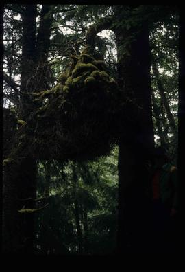
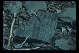
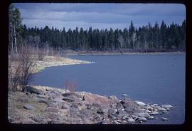
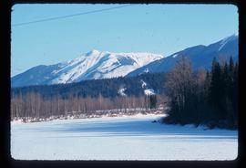
Showing 2259 results

Archival description
2097 results with digital objects Show results with digital objects
Oddly Shaped Tree Branch
2012.13.1.78.40 · Item · 1982
Part of J. Kent Sedgwick fonds

Image depicts an oddly shaped tree branch that appears to have grown downwards, and is covered in green, mossy growths. Located somewhere on Haida Gwaii.

Northwood Pulpmill
2012.13.1.3.160 · Item · Nov. 2000
Part of J. Kent Sedgwick fonds

Image depicts the Northwood Pulpmill in Prince George, B.C. taken from above the Nechako River looking east. Map coordinates 53°56'00.0"N 122°44'29.7"W

2012.13.4.14 · File · 2002
Part of J. Kent Sedgwick fonds

File consists of notes and reproductions relating to "Northern Approaches to New Caledonia" lecture conducted by Kent Sedgwick, relating to the article he wrote on "Crossing the Divide: Northern Approaches to New Caledonia". File predominantly contains Kent Sedgwick's handwritten notes and notes and transparent sheets of film depicting various maps of northern British Columbia. File also contains photographs depicting various maps (Oct. 2002).

Newlands?
2012.13.1.89.028 · Item · Mar. 1975
Part of J. Kent Sedgwick fonds

Image depicts what is possibly the community of Newlands, B.C.

Nelson
2012.13.1.027 · Subseries · 1981
Part of J. Kent Sedgwick fonds

File contains slides depicting places in Nelson.

Nechako River?
2012.13.1.23.08 · Item · 1973
Part of J. Kent Sedgwick fonds

Image depicts what is possibly a small section of the Nechako River on Cottonwood Island.

Nechako River?
2012.13.1.22.19 · Item · 1970
Part of J. Kent Sedgwick fonds

Image depicts a body of water in Island Cache. It is possibly a small section of the Nechako River.

2012.13.2.14.15 · File · 1996
Part of J. Kent Sedgwick fonds

File consists of notes and reproductions relating to the Nechako cutbanks in Prince George. Includes: "The Cutbanks" typed document by Kent Sedgwick (1 Feb. 1996). File also includes a photograph depicting heritage river trail signs erected at the cutbanks and describing the significance of the cutbanks in Prince George (1996).

Nechako Cutbanks Trail
2012.13.1.3.092 · Item · 12 Oct. 1989
Part of J. Kent Sedgwick fonds

Image depicts the cutbanks on the other side of the Nechako, taken from the nature trail at Island Cache. Map coordinates 53°55'34.6"N 122°45'52.4"W

Nechako Cutbanks Trail
2012.13.1.3.091 · Item · 12 Oct. 1989
Part of J. Kent Sedgwick fonds

Image depicts the cutbanks on the other side of the Nechako, taken from the nature trail at Island Cache. Map coordinates 53°55'34.6"N 122°45'52.4"W

Nechako Cutbanks
2012.13.1.3.090 · Item · 12 Oct. 1989
Part of J. Kent Sedgwick fonds

Image depicts the cutbanks on the other side of the Nechako, taken from the nature trail at Island Cache. Map coordinates 53°55'34.6"N 122°45'52.4"W

Near Williams Lake
2012.13.1.50.032 · Item · 1974
Part of J. Kent Sedgwick fonds

Image depicts an aerial view of some scenery near Williams Lake, B.C. The highway and BCR tracks are visible among the trees.