2012.13.2.17.10
·
File
·
2009
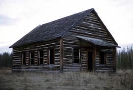
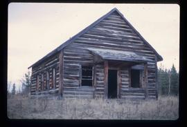
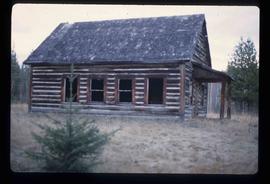
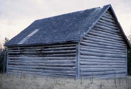
Part of J. Kent Sedgwick fonds
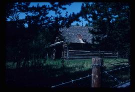
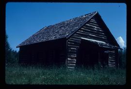
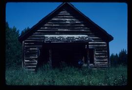
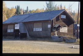
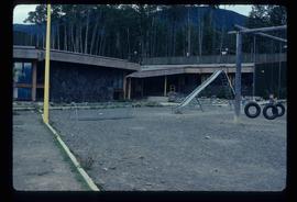
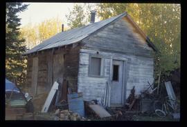
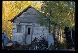
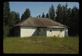
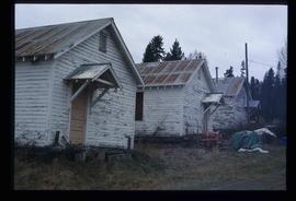
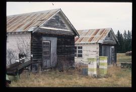
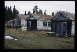
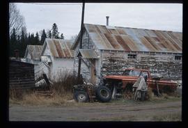
File consists of notes, clippings, and reproductions relating to an event for writers on the East Line at the Prince George Railway & Forestry Museum. Includes photographs depicting people visiting Giscome, a community on the East Line (2009).