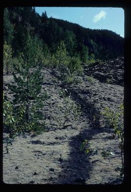
2012.13.2.15.20.03
·
Item
·
2009
Part of J. Kent Sedgwick fonds
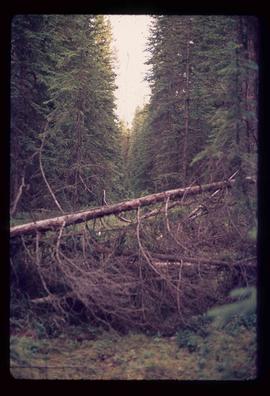
The photograph depicts train tracks in a forested rural area during autumn. Annotation on reverse side of photograph states, "Hulatt fall 2009."