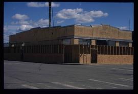
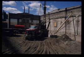
Image depicts an unknown building under construction at the corner of 6th Avenue and Dominion Street in Prince George, B.C.
Image depicts an unknown building under construction at the corner of 6th Avenue and Dominion Street in Prince George, B.C.
The item is a photograph depicting a residential duplex house off the Cariboo Highway. It is one of three buildings that were relocated for the airport in 1957.
The item is a photograph depicting a residential duplex house off the Cariboo Highway. It is one of three buildings that were relocated for the airport in 1957.
The item is a photograph depicting a residential duplex house off the Cariboo Highway. It is one of three buildings that were relocated for the airport in 1957
The item is a photograph depicting a residential duplex house off the Cariboo Highway.
The item is a photograph depicting a residential duplex house off the Cariboo Highway.
The item is a photograph depicting a residential duplex house off the Cariboo Highway.
The item is a 35 mm photograph depicting a stucco duplex on the Cariboo Highway.
The item is a photograph depicting a residential duplex house off the Cariboo Highway. It is one of three buildings that were relocated for the airport in 1957.
The item is a photograph depicting a white residential house off the Cariboo Highway.
The item is a 35 mm photograph depicting a stucco duplex on the Cariboo Highway.
The item is a photograph depicting a residential duplex house off the Cariboo Highway. It is one of three buildings that were relocated for the airport in 1957.
The item is a photograph depicting a residential duplex house off the Cariboo Highway.
The item is a 35 mm photograph depicting a stucco duplex on the Cariboo Highway.
The item is a photograph depicting a residential duplex house off the Cariboo Highway.
The item is a 35 mm slide photograph depicting a residential duplex house off the Cariboo Highway. It is one of three buildings that were relocated for the airport in 1957.
The item is a 35 mm photograph depicting a stucco duplex on the Cariboo Highway.
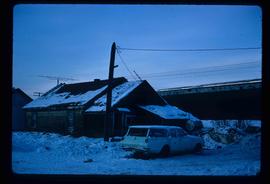
Image depicts a vehicle parked beside a small, wooden house in Upper Fraser, B.C. Map coordinates 54°07'05.7"N 121°56'38.9"W
The item is a photograph depicting the old site of Bud Lake school. Annotation on reverse side of photograph states, "Bud L. site."
The item is a photograph depicting the old site of Bud Lake school. Annotation on reverse side of photograph states, "Bud L. school site."
File consists of notes, clippings, and reproductions relating to Buckwater Road. Also includes photographs depicting various areas and buildings along Buckwater Road (1990-2001).
The item is a photograph depicting the front and side of Buckhorn school in 1956. The photograph is a photograph taken of the original print.
The item is a photograph depicting the front and side of Buckhorn school in 1956. The photograph is a photograph taken of the original print. Annotation on reverse side of the photograph states, "1956."
File consists of notes relating to Buckhorn Elementary School. Also includes photographs depicting the old Buckhorn School building and the Prince George Snowmobile club building from the exterior (between 2001 and 2005).
Photograph depicts Buchanan Benson Real Estate and Insurance at 1276 4th Avenue.
The item is a photograph depicting the unveiling of the Arrival of Steel monument at 772 1st Avenue, Prince George. Bruce Anderson and Mayor John Backhouse are in front of the monument with Backhouse giving a speech.
The item is a photograph depicting the unveiling of the Arrival of Steel monument at 772 1st Avenue, Prince George. Bruce Anderson and Mayor John Backhouse are in front of the monument. A crowd is standing around the monument watching the unveiling. Tilden Truck Rentals can be seen in the background.
The item is a photograph depicting the unveiling of the Arrival of Steel monument at 772 1st Avenue, Prince George. Bruce Anderson and Mayor John Backhouse are in front of the monument. A crowd is standing around the monument watching the unveiling. Tilden Truck Rentals can be seen in the background.
The photograph depicts a brown house in a forest outside of Finmoore, B.C. There is plastic pink flamingo in the yard. The photograph is taken in the autumn. Annotation on reverse side of photograph states, "Finmoore fall 2009."
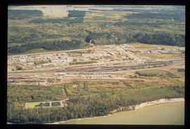
Image depicts an aerial view of the BC Rail, in Prince George, B.C. It is now known as CN Rail.
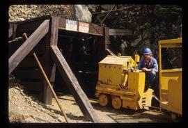
Image depicts the entrance to a mine with an unknown individual present. It is possibly the entrance to the closed Britannia Mine in the Howe Sound Region.
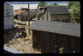
Image depicts a number of old buildings, possibly located at the closed Britannia Mine.
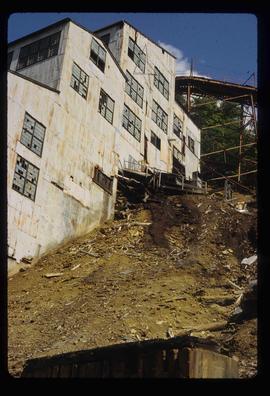
Image depicts an old building, possibly located at the closed Britannia Mine.
Image depicts a piece of industrial machinery, possibly located at the closed Britannia Mine. Two unknown individuals are also present in the image.
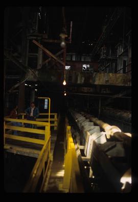
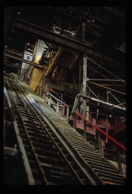
Image depicts a conveyor belt, possibly located inside one of the old buildings at what is possibly the closed Britannia Mine.
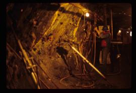
Image depicts the inside of a mine with an unknown individual present. It is possibly the inside of the closed Britannia Mine.
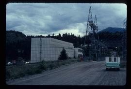
Image depicts the Bridge River No. 1 hydroelectric station on the shore of Seton Lake (rear side of powerhouse).
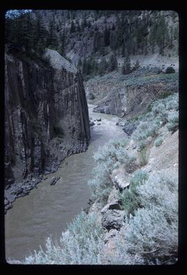
Image depicts the Bridge River near Lillooet, B.C.
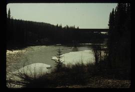
Image depicts a river in Tumbler Ridge, B.C. The bridge crossing it appears to be either half-missing or incomplete.
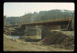
Image depicts a bridge under construction in Tumbler Ridge, B.C.
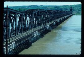
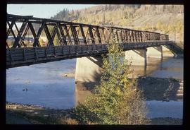
Image depicts a bridge in Prince George, B.C.
Image depicts a bridge in Prince George, B.C.
Image depicts a bridge in Prince George, B.C.
File consists of maps and notes relating to the original Prince George city plans by Brett and Hall. Brett & Hall were landscape architects from Boston, MA who designed the original plan for Prince George, including features such as the Crescents neighbourhood. Includes photographs depicting the original plans by Brett & Hall for Prince George (2006).
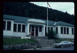
Image depicts the old sales office of Bralorne Pioneer Mines Ltd. which is now the Bralorne Pioneer Museum.
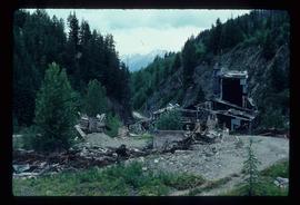
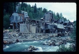
Image depicts what is possibly an old, rundown mill in Bralorne, B.C.
Image depicts what is possibly an old, rundown mill in Bralorne, B.C.
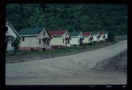
Image depicts a row of houses in Bralorne, B.C.
Image depicts a row of houses in Bralorne, B.C.
