Print preview Close

Showing 4529 results

Archival description
3024 results with digital objects Show results with digital objects
"Giscome Chronicle" files
2012.13.4.22 · File · 2004-2007
Part of J. Kent Sedgwick fonds

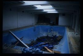
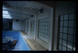
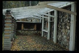
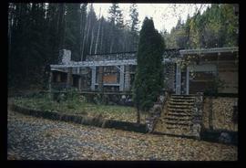
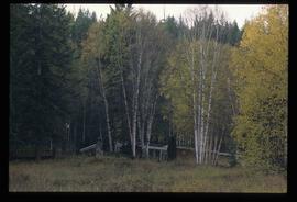
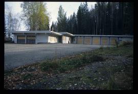
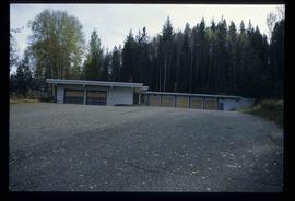
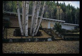
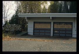
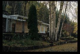
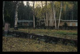
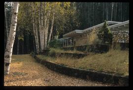
File consists of notes, clippings, and reproductions relating to Kent Sedgwick's research on Giscome. Also includes a photograph depicting St. Fredrick's church in Giscome.

Giscome Bunkhouse
2012.13.1.87.158 · Item · [between 1975 and 1995]
Part of J. Kent Sedgwick fonds

Image depicts the Giscome bunkhouse in Giscome, B.C. Map coordinates 54°04'17.6"N 122°22'06.1"W

2012.13.1.87.086 · Item · [between 1980 and 2000]
Part of J. Kent Sedgwick fonds

Image depicts the Giscome mill site in Giscome, B.C. The bunkhouse is the large building with many windows. A train and railroad tracks are in the foreground. Map coordinates 54°04'17.6"N 122°22'06.1"W

2012.13.1.87.087 · Item · [between 1975 and 1995]
Part of J. Kent Sedgwick fonds

Image depicts the Giscome mill site in Giscome, B.C. The railroad tracks are in the foreground. Map coordinates 54°04'17.6"N 122°22'06.1"W

Giscome - Power Poles
2012.13.1.87.098 · Item · [between 1975 and 1995]
Part of J. Kent Sedgwick fonds

Image depicts the remains of a street of houses in Giscome, B.C. The quarry is slightly visible in the background. Map coordinates 54°04'20.9"N 122°21'53.1"W

Giscome - Eaglet Lake
2012.13.1.87.090 · Item · [between 1980 and 2000]
Part of J. Kent Sedgwick fonds

Image depicts mill site and dock in Giscome, B.C. with Eaglet Lake in the background covered in ice. There is a large crowd of people gathered near the dock. Map coordinates 54°04'34.9"N 122°21'50.0"W

Giscome - Church
2012.13.1.87.099 · Item · [between 1975 and 1995]
Part of J. Kent Sedgwick fonds

Image depicts a church in Giscome, B.C. Map coordinates 54°04'16.2"N 122°21'54.3"W

Giscome
2012.13.1.87.175 · Item · [between 1975 and 1995]
Part of J. Kent Sedgwick fonds

Image depicts the Giscome, B.C. town site with the Giscome railway station and the Giscome store in the center surrounded by vehicles. Map coordinates 54°04'18.5"N 122°21'57.7"W

2012.13.3.1.53.07 · Item · Jan. 1998
Part of J. Kent Sedgwick fonds

The item is a photograph depicting the exterior of Ben Ginter's house. The windows are boarded up. The location is on an unnamed road in Prince George.

2012.13.3.1.53.09 · Item · Jan. 1998
Part of J. Kent Sedgwick fonds

The item is a photograph depicting the view of Prince George from the front of Ben Ginter's house. The location is on an unnamed road in Prince George.

2012.13.3.1.53.01 · Item · Jan. 1998
Part of J. Kent Sedgwick fonds

The item is a photograph depicting Ben Ginter's house. The house is white and the windows and garage doors are boarded up. The location is on an unnamed road in Prince George.

2012.13.3.1.53.08 · Item · Jan. 1998
Part of J. Kent Sedgwick fonds

The item is a photograph depicting the exterior of Ben Ginter's house. The windows are boarded up. The location is on an unnamed road in Prince George.

2012.13.3.1.53.02 · Item · Jan. 1998
Part of J. Kent Sedgwick fonds

The item is a photograph depicting the front Ben Ginter's house. The house is white and stone, the windows boarded up. The location is on an unnamed road in Prince George.

2012.13.3.1.53.03 · Item · Jan. 1998
Part of J. Kent Sedgwick fonds

The item is a photograph depicting the front Ben Ginter's house. The house is white and stone, the windows boarded up. The location is on an unnamed road in Prince George.

2012.13.3.1.53.10 · Item · Jan. 1998
Part of J. Kent Sedgwick fonds

The item is a photograph depicting the exterior of Ben Ginter's house. The windows and garage doors are boarded up. The location is on an unnamed road in Prince George.

Ginter House
2012.13.1.014 · Subseries · 1997
Part of J. Kent Sedgwick fonds

File contains slides depicting images of the Ginter House from 1997 in Prince George, B.C.

Ginter House
2012.13.1.14.03 · Item · Dec. 1997
Part of J. Kent Sedgwick fonds

Image depicts the Ginter House and the surrounding woods, in Prince George, B.C.