2012.13.1.013
·
Subseries
·
1984
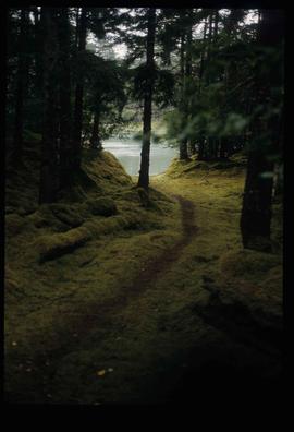
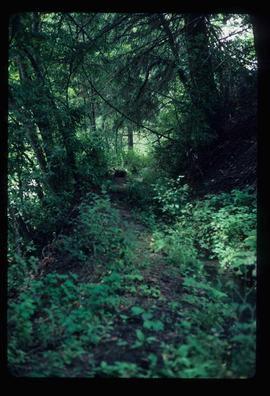
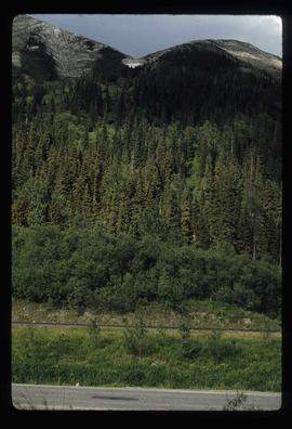
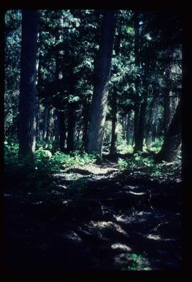
Part of J. Kent Sedgwick fonds
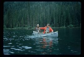
File contains slides depicting images of the Fort George Canyon from 1984.