Photograph depicts a residential building at 1795 10th Avenue. Annotation on verso: "1795 - 10th Ave, SE corner of, Winnipeg".
Photograph depicts a residential building at 1770 5th Avenue. Annotation on verso: "1770 - 5th Ave".
Photograph depicts a residential building at 1722 7th Avenue. Annotation on verso: "1722 - 8th Ave".
Photograph depicts a residential building at 1661 10th Avenue. Annotation on verso: "1661 - 10th Ave".
Photograph depicts a residential building at 1651 5th Avenue. Annotation on verso: "1651 - 5th Ave".
Photograph depicts a residential building at 1648 8th Avenue. Annotation on verso: "1648 - 8th, next to Rosel's".
Photograph depicts a residential building at 1643 10th Avenue. Annotation on verso: "1643 - 10th Ave".
Photograph depicts a residential building at 1625 4th Avenue. Annotation on verso: "Loedel proposal, 1625 - 4th, (see above)".
Photograph depicts a residential building at 1617 8th Avenue. Annotation on verso: "1617 - 8th Ave".
Photograph depicts a residential building at 1616 8th Avenue, on the corner of Vancouver Street. Annotation on verso: "1616 -8th Ave, NW corner of Vancouver".
Photograph depicts a residential building at 1612 12th Avenue, the building was used as "Prince Realty". Annotation on verso: "1612 - 12th Ave., NW corner of Vancouver."
Photograph depicts a residential building at 1601 6th Avenue, the corner of 6th Avenue and Vancouver Street. Annotation on verso: "CUTE c-7, union, Vancouver/ 6th".
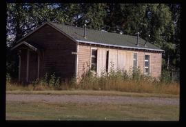
Photograph depicting a residential building surrounded by trees in an unknown location.
Photograph depicting a residential building surrounded by trees in an unknown location.
Image depicts a residential area with a playground somewhere in Mackenzie, B.C.
Kent Sedgwick’s research subject files contain original research notes, interviews and oral histories, news clippings, and collected primary and secondary sources. The series also includes both original and reproduction photographs, audio recordings, and maps. The subject files primarily relate to the history, urban planning, and historical geography of the Central Interior of British Columbia, especially Prince George area and the East Line communities over the course of the 20th century. They also include extensive notes on geographic features, landscapes, interpretative trails, architectural history, industrial history, history of Western exploration and land survey, and the First Nations history of the region.
Photograph depicts a Rental and repair shop on 3rd Avenue.
The item is a photograph depicting the Reid Lake schoolyard at Reid Lake.
The item is a photograph depicting the old and current Reid Lake schools at Reid Lake.
The item is a photograph depicting the Reid Lake school at Reid Lake.
File consists of notes and reproductions relating to Reid Lake Elementary School and Chief Lake Elementary School. Includes photographs depicting the old Reid Lake school building and various other old school sites (Sept. 2002).
Image depicts a building in Reid Lake
Image depicts a building in Reid Lake
File contains slides depicting images from around the Northern area of B.C.
File contains slides depicting the Prince George region.
File contains slides depicting places in or around Red Rock, Hixon, and Woodpecker, B.C.
File contains slides depicting images of places in or around Red Rock, Hixon, and Woodpecker, B.C.
Image depicts a the teacherage building in Red Rock.
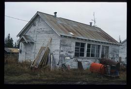
The item is a photograph depicting the old Red Rock schools. The buildings are weathered with peeling paint. One building is surrounded by debris. Annotation on reverse side of the photograph states, "River Edge Ranch, Red Rock schools, looking S."
The item is a photograph depicting the old Red Rock schools. The buildings are weathered with peeling paint. One building is surrounded by debris. Annotation on reverse side of the photograph states, "River Edge Ranch, Red Rock schools looking west."
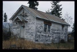
The item is a photograph depicting the old Red Rock school. The building is weathered with peeling paint surrounded by debris. Annotation on reverse side of the photograph states, "Red Rock sch. north building."
Image depicts the Red Rock School.
The item is a photograph depicting the old Red Rock school. The building is weathered with peeling paint surrounded by debris. Annotation on reverse side of the photograph states, "Red Rock sch. s. building s. end."
The item is a photograph depicting the old Red Rock school. The building is weathered with peeling paint surrounded by debris. Annotation on reverse side of the photograph states, "Red Rock sch. S. building N. end."
The item is a photograph depicting the old Red Rock school. The building is weathered with peeling paint. Annotation on reverse side of the photograph states, "Red Rock teacherage."
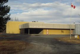
The item is a photograph depicting the Red Rock school circa. 2001.
File consists of notes relating to the Red Rock Elementary School. Includes photographs depicting the old Red Rock school, a wooden weathered building, and the new Red Rock school (2001).
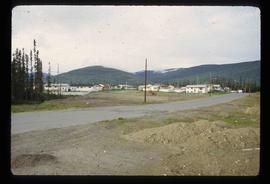
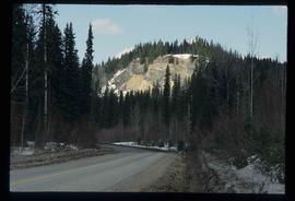
Image depicts a road, forest, and hill rise in an uncertain location possibly near Red Rock, B.C.
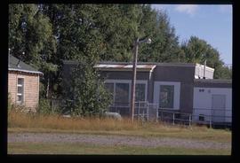
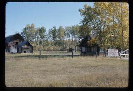
Image depicts a building in Red Rock.
Image depicts a building in Red Rock.
File contains slides depicting numerous recreational locations from various places in Canada.
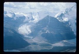
Image depicts what appears to be a receding glacier on the slopes of Mt. Robson.
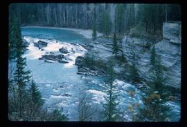
Image depicts the Rearguard Falls in Rearguard Falls Provincial Park near Tête Jaune Cache along the Yellowhead Highway.
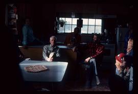
Image depicts a group of people in a kitchen area of the Mueller home in Sinclair Mill, B.C.; the man seated at the table with a grey shirt is Ray Mueller. Louisa Mueller is seated on counter wearing blue shirt. Map coordinates 54.014188, -121.676972
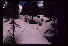
Image depicts an individual sliding down a snowy trail somewhere Raven Peak.
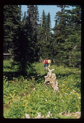
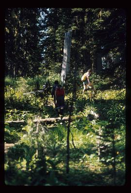
Image depicts several individuals walking the Raven trail.
Image depicts several individuals walking the Raven trail.
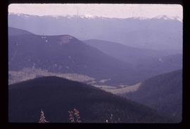
Image depicts a view of the area surrounding Raven Peak.
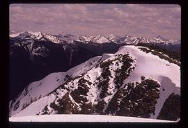
Image depicts Raven Peak in the Sugarbowl Grizzly Den Protected Area located on Highway 16 east of Prince George, B.C.
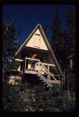
Image depicts a woman standing on the porch of a hut located by Raven Lake.
