2012.13.2.16.10.17
·
Item
·
2004
Part of J. Kent Sedgwick fonds
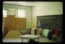
The item is a photograph depicting the exterior of Central Fort George School from the court prior to demolition in 2004. The windows are boarded up.