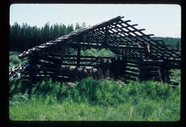
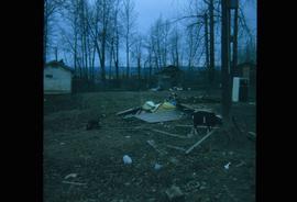
Image depicts a shed on Blackwater Road.
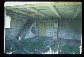
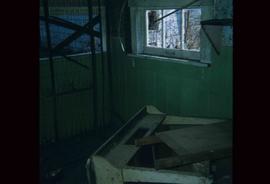
Image depicts the interior of an abandoned, deteriorating cabin on Blackwater Road.
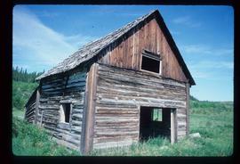
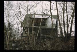
Image depicts an abandoned, deteriorating cabin on Blackwater Road.
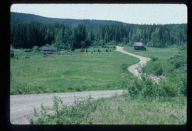
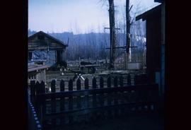
Image depicts an abandoned cabin and shed on Blackwater Road.
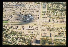
Image depicts a view of Blackburn Schools, possibly taken from Tabor Mountain.
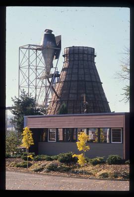
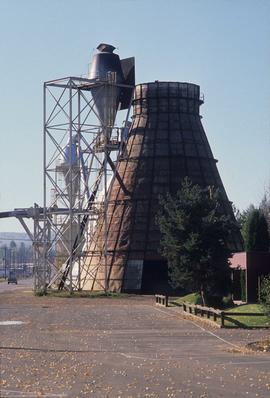
Image depicts a Beehive Burner along the Nechako on River Road. Map coordinates 53°55'34.1"N 122°44'58.0"W
Image depicts a Beehive Burner along the Nechako on River Road. Map coordinates 53°55'34.1"N 122°44'58.0"W
Image depicts a Beehive Burner along the Nechako on River Road. Map coordinates 53°55'34.1"N 122°44'58.0"W.
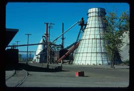
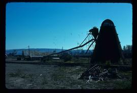
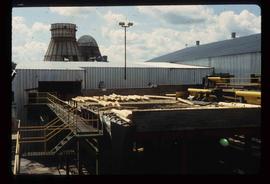
Image depicts a bee-hive burner beside a rail-road track at an unidentified mill somewhere in Prince George, B.C.
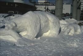
Image depicts a snow sculpture of a bear, possibly during the Winter City Conference, in Prince George, B.C. Taken at the Prince George Civic Center. Map coordinates 53°54'45.6"N 122°44'59.6"W
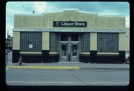
Image depicts the BC Liquor Store in Prince George, B.C.
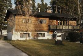
Image depicts a Bavarian style house at College Heights in Prince George, B.C.
Image depicts numerous logs that have been stripped of their bark at a saw mill in Prince George, B.C.
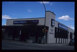
Image depicts the Bank of Montreal in Prince George, B.C.
Image depicts Ash Street and Patricia Boulevard in Prince George, B.C.
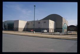
Image depicts the Aquatic Centre in Prince George, B.C.
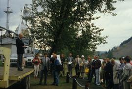
Image depicts a group of people in Cottonwood Park with an individual, possibly former mayor Elmer Mercier, making an announcement.
Image depicts what appears to be an animal pen in Island Cache. There is a goat and numerous chickens in the image, as well as a pile of miscellaneous material.
Image depicts what appears to be an animal pen in Island Cache. There are two horses and a chicken in the enclosure, and a rundown building.
Subseries consists of material collected and created by Kent Sedgwick for research relating to agriculture in Prince George and the surrounding areas including Pineview, Mud River, and Blackburn. Includes material regarding the Prince George experimental farm, historical agriculture, dairying, and ranching.
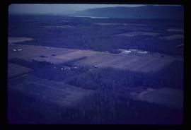
Image depicts an agricultural field, most likely near Prince George, B.C.
Image depicts the interior of a house that appears to be abandoned and in disrepair in Island Cache.
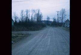
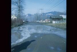
Image depicts a street in Island Cache.
Image depicts a street in Island Cache.
Image depicts a house on the corner of 12th Ave and Vancouver Street in Prince George, B.C.
Image depicts a house on the corner of 7th Ave and Vancouver Street in Prince George, B.C.
Image depicts a house on the corner of 7th Ave and Vancouver Street in Prince George, B.C.
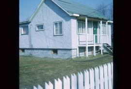
Image depicts a house at Island Cache.
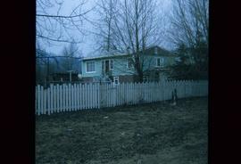
Image depicts a house in Island Cache.
Image depicts a house in Island Cache.
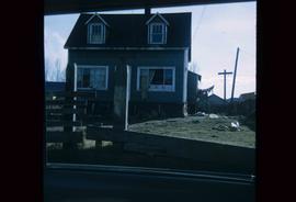
Image depicts a house in disrepair, and possibly abandoned, in Island Cache.
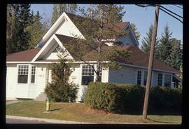
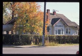
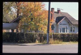
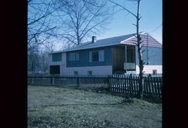
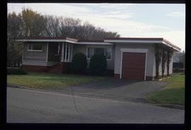
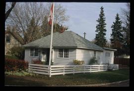
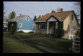
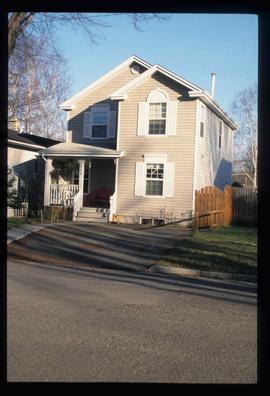
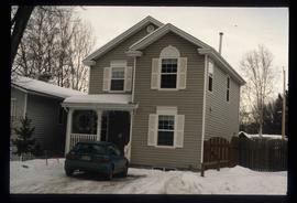
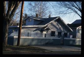
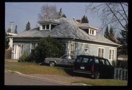
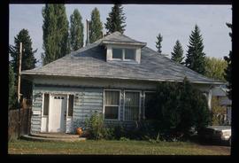
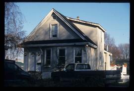
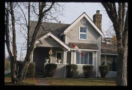
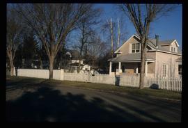
Image depicts a house somewhere in Prince George, B.C.
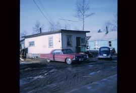
Image depicts a house in Island Cache. There are several cars parked outside it.
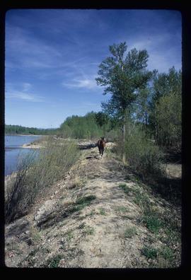
Image depicts a horse on Cottonwood Island.
Image depicts 411 Patricia Boulevard in Prince George, B.C.
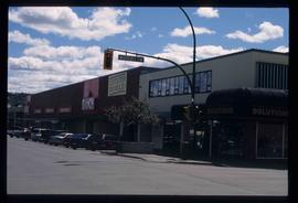
Image depicts a view of the corner of 3rd Avenue and Brunswick Street in Prince George, B.C.
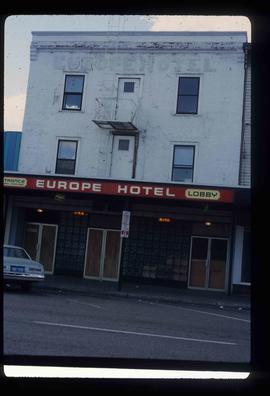
Image depicts the Europe Hotel on the south side of 3rd Ave in Prince George, B.C.
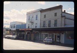
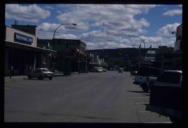
Image depicts the south side of 3rd Ave in Prince George, B.C.
Image depicts a view of 3rd Avenue with the Columbus Hotel prior to the fire that destroyed it in 2008.
Image depicts 1690 Dogwood Street, on the corner of 17th Ave and Dogwood St. in Prince George, B.C. Also depicts a portion of 1670 Dogwood Street at left.
Image depicts 1650 Dogwood Street and 1670 Dogwood Street in the Millar Addition neighbourhood in Prince George, B.C.
Image depicts the intersection of 15th Ave and Highway 97 in Prince George, B.C.
Image depicts 1598 Fir Street in Prince George, B.C.
Image depicts 1598 Fir Street in Prince George, B.C.
Image depicts 1590 Fir Street in Prince George, B.C.
Image depicts 1566 Ingledew Street in Prince George, B.C.
Image depicts 1566 Ingledew Street in Prince George, B.C.
Image depicts 1532 Fir Street in Prince George, B.C.
Image depicts 1510 Fir Street in Prince George, B.C.
Image depicts 1488 Gorse Street in Prince George, B.C.
