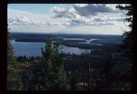
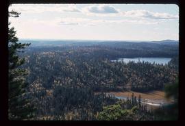
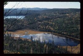
Showing 4312 results

Archival description
3025 results with digital objects Show results with digital objects
Stream
2012.13.1.84.01 · Item · 1994
Part of J. Kent Sedgwick fonds

Image depicts a downhill stream somewhere in the area surrounding Stewart, B.C.

Street in Giscome - After
2012.13.1.87.094 · Item · [between 1980 and 2000]
Part of J. Kent Sedgwick fonds

Image depicts a street in Giscome. The store was previously located on the left. The church is in the background. Map coordinates 54°04'18.5"N 122°21'57.7"W

Street in Giscome - Before
2012.13.1.87.093 · Item · [between 1980 and 2000]
Part of J. Kent Sedgwick fonds

Image depicts a street in Giscome B.C. The Giscome Store is located on the left side of the image with the church in the background. Map coordinates 54°04'18.5"N 122°21'57.7"W

2012.13.2.15.27.4 · Item · [2001?]
Part of J. Kent Sedgwick fonds

The photograph depicts a newspaper map of the business center in Stuart River, South of the Nechako River. Annotation on slide states, "Stuart R. townsite plan"

2012.13.2.02.33.10 · Item · [1990?]
Part of J. Kent Sedgwick fonds

The item is a reproduction of a survey map drafted June 1912. The reproduction was likely created in 1990. The area covered is Central Fort George, South of 5th Street, East of Alden Avenue, North of 12th Street and West of Fraser Street. Annotations state, "Plan 1085 Carney Addition."

2012.13.2.02.33.06 · Item · [1990?]
Part of J. Kent Sedgwick fonds

The item is a reproduction of a survey map drafted in approximately 1911 and revised in May 1914. The reproduction was likely created in 1990. The annotation states, "Plan 1391" and is circled in red ink. The area covered is along the Nechako and Fraser Rivers and Northeast of First Avenue.

2012.13.2.02.33.01 · Item · [1990?]
Part of J. Kent Sedgwick fonds

The item is a reproduction of a section of survey map drafted on 18 March 1915 and revised on 23 May 1916. The reproduction was likely created in 1990. The Plan Number is 1268 and highlights the area along the Nechako and Fraser Rivers. The map details subdivisions East of Carney Street, North of Twentieth Avenue and South of Ninth Avenue. Annotations in pencil state different map scale variations and "cemetery setback."

Sue Sedgwick
2012.13.1.65.60 · Item · [1976?]
Part of J. Kent Sedgwick fonds

Image depicts Sue Sedgwick holding what appears to be cooked pork and onions.

Sunset
2012.13.1.93.03 · Item · 1978
Part of J. Kent Sedgwick fonds

Image depicts a view of a sunset at an uncertain location, possibly in the Peace River Region.

Survey Equipment
2012.13.1.121.06 · Item · [1968?]
Part of J. Kent Sedgwick fonds

Image depicts objects, including a flag pole, that the slide labels as "survey equipment." The slide also places it as a "Peyto icefall," on the Peyto Galcier in the Banff National Park in Alberta, B.C.

Suspended Trailer
2012.13.1.122.09 · Item · Oct. 1975
Part of J. Kent Sedgwick fonds

Image depicts a trailer for a logging truck suspended off the ground by a wooden structure. This is used to load the trailer onto the back of the truck. The name on the truck says "Rormarniewich Trucking Ltd."

Swimming in a Lake
2012.13.1.84.35 · Item · 1994
Part of J. Kent Sedgwick fonds

Image depicts numerous unknown individuals swimming in a lake or standing on a dock at an uncertain location.

2012.13.2.16.19.2 · Item · [2001?]
Part of J. Kent Sedgwick fonds

The item is a photograph depicting a wooden privy in a field where the site of the Sylvan Glade elementary school was located at Vivian Lake. Annotation on reverse side of photograph states, "Sylvan Glade school site #2, privy."

2012.13.2.16.19.1 · Item · [2001?]
Part of J. Kent Sedgwick fonds

The item is a photograph depicting a field where the site where the Sylvan Glade elementary school was located at Vivian Lake. Annotation on reverse side of photograph states, "Sylvan Glade school site #1."