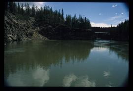
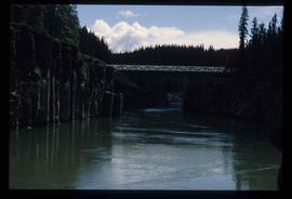
Image depicts a river in the Miles Canyon near Whitehorse Y.T. The Robert Lowe Bridge, built in 1922, can be seen over the canyon.
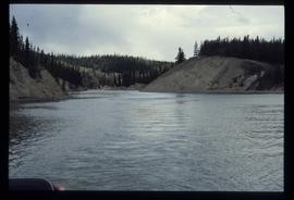
Image depicts the river which runs through Miles Canyon, located near Whitehorse Y.T.
Image depicts a river at an uncertain location, but possibly in Miles Canyon near Whitehorse, Y.T.
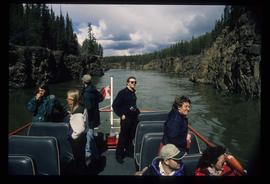
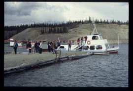
Image depicts several unidentified individuals on a boat in the Miles Canyon near Whitehorse Y.T.
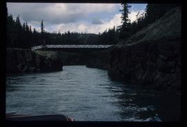
Image depicts the Robert Lowe Bridge, built in 1922, in the Miles Canyon near Whitehorse Y.T.
Image depicts the Robert Lowe Bridge, built in 1922, in the Miles Canyon near Whitehorse Y.T.
Image depicts numerous unidentified individuals getting off a boat which bears the name "Schwatka." It is located somewhere in Miles Canyon.
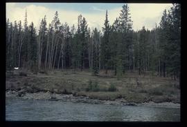
Image depicts numerous trees on the bank of a river, possibly in Miles Canyon near Whitehorse, Y.T. The slide is labelled "canyon city."
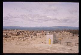
Image depicts a view of the Millar Addition suburb in Prince George, B.C.
The item is the millennium edition of The Prince George Free Press. The "Millenium Report" was one of two different inserts in an unknown December 1999 issue. The edition contains information about Prince George's past and speculation as to where Prince George will be in the future.
The item is the millennium edition of The Prince George Free Press. The "Millenium Report" was one of two different inserts in an unknown December 1999 issue. The edition contains information about Prince George's past and speculation as to where Prince George will be in the future.
Newspaper is a special edition of Prince George Citizen entitled "Millenium Timeline." The edition is about the new millennium and entering the twenty-first century.
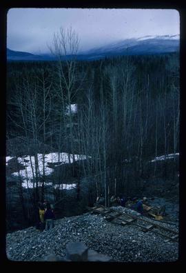
Image depicts a group of people at a mine somewhere near Hazelton, B.C.
Image depicts what appears to be a junkyard for old mining equipment at an uncertain location, though possibly near Gibraltar.
The item is a photograph depicting the front of a white house. The sign on the front reads, "Ministry of Agriculture & Food Reception."
The item is a black and white photograph depicting the front of a white house. The sign on the front reads, "Ministry of Agriculture & Food Reception."
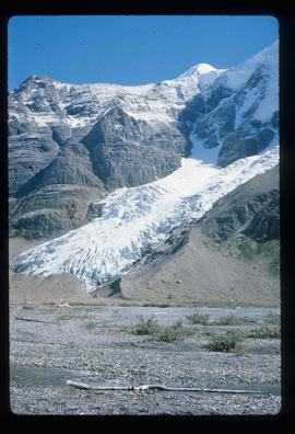
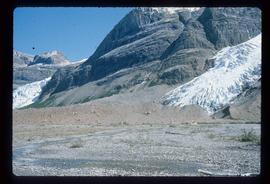
Image depicts the Mist Glacier on the slope of Mt. Robson.
Image depicts the Mist Glacier on the slope of Mt. Robson.
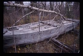
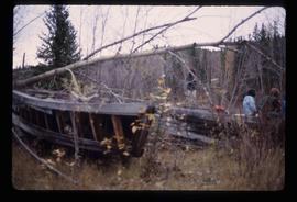
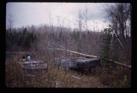
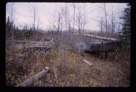
Image depicts the remains of the old Miworth Ferry, somewhere near Miworth, B.C.
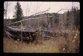
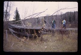
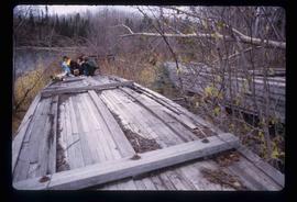
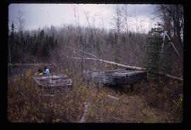
Image depicts two unknown individuals and the remains of the old Miworth Ferry, somewhere near Miworth, B.C.
Image depicts two unknown individuals and the remains of the old Miworth Ferry, somewhere near Miworth, B.C.
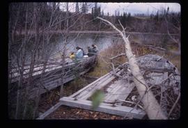
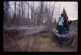
Image depicts four unknown individuals and the remains of the old Miworth Ferry, somewhere near Miworth, B.C.
Image depicts four unknown individuals and the remains of the old Miworth Ferry, somewhere near Miworth, B.C.
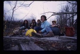
Image depicts five unknown individuals sitting on the remains of the old Miworth Ferry, somewhere near Miworth, B.C.
Image depicts four unknown individuals and the remains of the old Miworth Ferry, somewhere near Miworth, B.C.
Image depicts four unknown individuals and the remains of the old Miworth Ferry, somewhere near Miworth, B.C.
Image depicts four unknown individuals and the remains of the old Miworth Ferry, somewhere near Miworth, B.C.
Image depicts the remains of the old Miworth Ferry, somewhere near Miworth, B.C.
Image depicts four unknown individuals and the remains of the old Miworth Ferry, somewhere near Miworth, B.C.
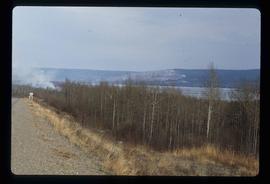
Image depicts an obstructed view of Moberly Lake, located north of Chetwynd and south of Hudson's Hope, B.C.
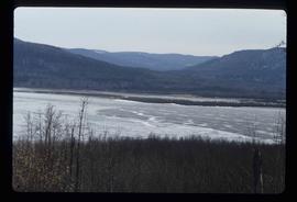
Image depicts a delta at Moberly Lake north of Chetwynd and south of Hudson's Hope, B.C.
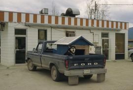
Image depicts a dog and dog house in the back of a pick-up somewhere near Prince George, B.C.
The item is a photograph depicting a 1/48 scale model of the Cameron Street bridge. The angle is looking down the bridge with a blue and a yellow model car on the bridge. Annotation on the reverse side of the photograph states, "Oct. 2008 1/48 scale model of the Cameron St. bridge 1931-2005 by Roy Groeneveld."
The item is a photograph depicting a 1/48 scale model of the Cameron Street bridge. The angle is looking down the bridge with a blue and a yellow model car on the bridge. Annotation on the reverse side of the photograph states, "Oct. 2008 1/48 scale model of the Cameron St. bridge 1931-2005 by Roy Groeneveld."
The item is a photograph depicting a 1/48 scale model of the Cameron Street bridge. The angle is a side view of the bridge with a blue and a yellow model car on the bridge. Annotation on the reverse side of the photograph states, "Oct. 2008 1/48 scale model of the Cameron St. bridge 1931-2005 by Roy Groeneveld."
The item is a photograph depicting the exterior of old damaged buildings on the Moffat farmland. There is a fence at the entrance to the driveway with an address sign that reads "1820."
The item is a photograph depicting the exterior of old damaged buildings on the Moffat farmland. There is a fence at the entrance to the driveway with an address sign that reads "1820." Annotation on the back of the photograph states, "Moffatt (Gunn) farm 2005."
The item is a photograph depicting the exterior of old damaged buildings on the Moffat farmland. There is a fence at the entrance to the driveway with an address sign that reads "1820."
The item is a photograph depicting the exterior of old damaged buildings on the Moffat farmland. There is a fence at the entrance to the driveway with an address sign that reads "1820."
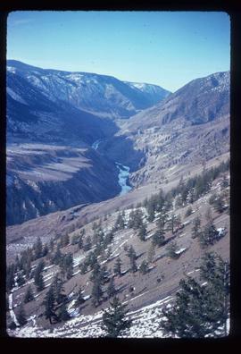
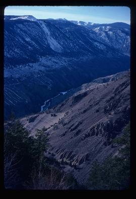
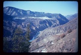
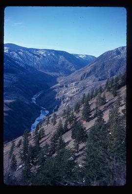
Image depicts the Fraser River running through the Moran Canyon near Lillooet, B.C.
Image depicts a view of Moran Canyon in the Lillooet area. The Fraser River is visible on the left.
Image depicts the Fraser River running through the Moran Canyon near Lillooet, B.C.
Image depicts the Fraser River running through the Moran Canyon near Lillooet, B.C.
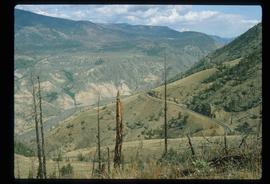
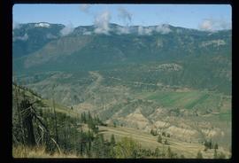
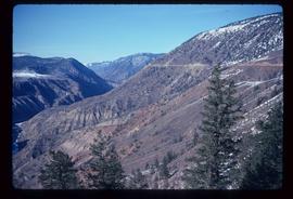
Image depicts a view of Moran Canyon in the Lillooet area.
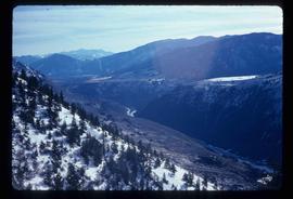
Image depicts the Fraser River running through the Moran Canyon near Lillooet, B.C.
Image depicts the Fraser River running through the Moran Canyon near Lillooet, B.C.
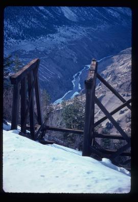
Image depicts the Fraser River running through the Moran Canyon near Lillooet, B.C.
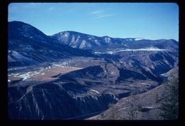
Image depicts the Moran Canyon near Lillooet, B.C.
Image depicts the Moran Canyon near Lillooet, B.C.
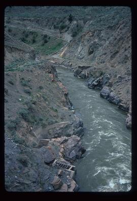
Image depicts what is possibly the Fraser River running through the Moran Canyon near Lillooet, B.C.
