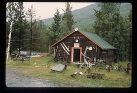
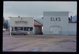
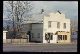
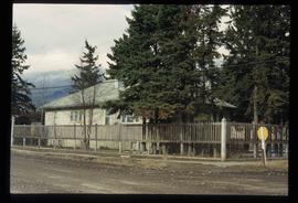
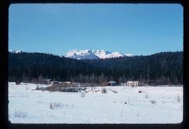
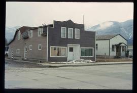
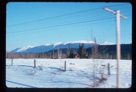
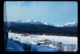
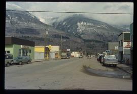
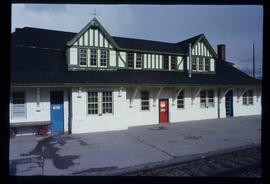
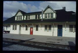
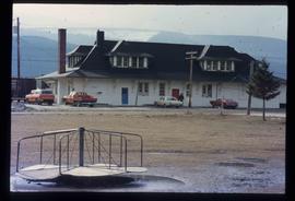
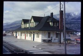
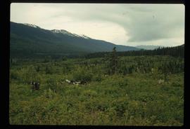
Image depicts the Omineca Museum in Manson Creek, B.C.
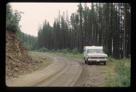
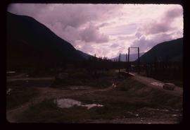
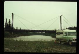
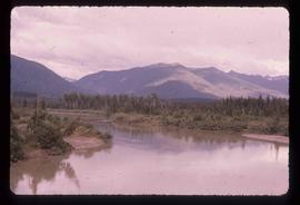
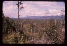
Image depicts the road to Manson Creek, B.C.
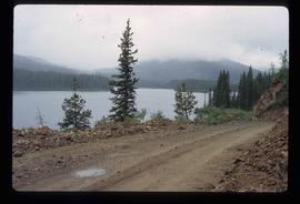
Image depicts the road to Manson Creek, B.C.
Image depicts the road to Manson Creek, B.C.
Image depicts the road to Manson Creek, B.C.
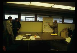
Image depicts a man holding up a board which appears to have maps of the Cottonwood Park on it.
The item is a photograph slide depicting a map of Mackenzie Island. The map depicts Central Fort George, South Fort George, Mackenzie Island and the Nechako/Fraser River confluence. Annotation on the slide states, "Mackenzie island."
The item is a map depicting the Prince Rupert townsite. Map is published by McRae Bros. Ltd. and Collart & Reynolds Real Estate.
The item is a reproduction of a map originally printed in 1926. The original was lost in the Fort George museum fire. The map depicts topography and lot areas of Prince George. Map also highlights the area of industrial development on DL 417. Annotations state, "Blue Print copy in Eng. Records original burned in museum fire 1926."
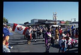
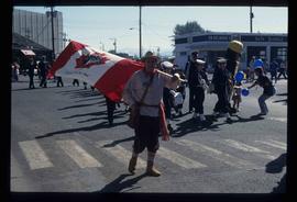
Image depicts a marching band with numerous other unidentified individuals. One man is carrying a Canadian flag with the depiction of men in a boat and the words "Canada Sea-to-Sea" on it.
Image depicts a marching band with numerous other unidentified individuals. One man is carrying a Canadian flag with the depiction of men in a boat and the words "Canada Sea-to-Sea" on it.
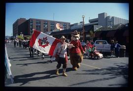
Image depicts a marching band with numerous other unidentified individuals. One man is carrying a Canadian flag with the depiction of men in a boat and the words "Canada Sea-to-Sea" on it, and there is a mascot beside him that appears to be a chipmunk in an RCMP uniform.
The photograph depicts Mark Gabriel Stadium, a baseball stadium in Prince George. The photo was taken in 2005.
The photograph depicts Mark Gabriel Stadium, a baseball stadium in Prince George. The photo was taken in 2005.
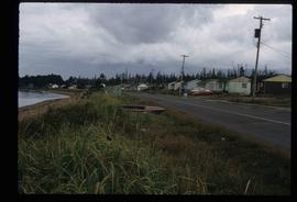
Image depicts a row of houses in the village of Masset on Haida Gwaii.
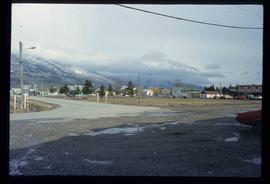
Image depicts McBride, B.C.
Image depicts an abandoned building on the corner of a street in McBride, B.C.
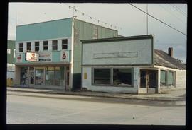
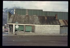
Image depicts an abandoned building on the corner of a street in McBride, B.C. The faded letters on the side read: "McBride Trading Co. Mens Wear, Drugs, Equipment."
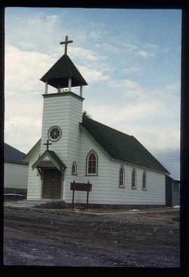
Image depicts the All Saints Anglican Church in McBride, B.C. The slide labels it as having "moved to PG."
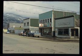
Image depicts a street in McBride, B.C. One of the store signs reads "Allied Hardware."
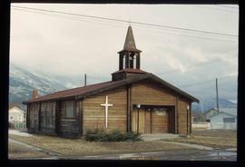
Image depicts a church somewhere in McBride, B.C. The sign in front possibly reads "St. Patrick's Church."
Image depicts the Elks Hall in McBride, B.C.
Image depicts a machine shop somewhere in McBride, B.C. The sign above the door reads "McBride Air Cooled Engine Services Ltd."
Image depicts a house somewhere in McBride, B.C.
Image depicts several houses in McBride, B.C. A mountain is visible in the background.
Image depicts an old house somewhere in McBride, B.C.
Image depicts a view of what is either the Rocky Mountains or possibly the Columbia Mountains from McBride, B.C.
Image depicts a view of what is either the Rocky Mountains or possibly the Columbia Mountains in the background of a small section of McBride, B.C.
Image depicts a street in McBride, B.C.
Image depicts the CN Station in McBride, B.C.
Image depicts the CN Station in McBride, B.C.
Image depicts the rear-end of the CN Station in McBride, B.C.
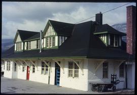
Image depicts the McBride CNR station.
Image depicts the McBride CNR station.
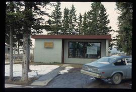
Image depicts the McBride District Centennial Library.
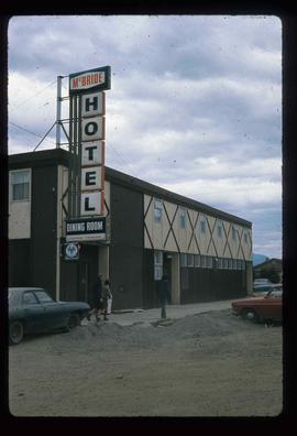
Image depicts the McBride Hotel near the Mt. Robson Provincial Park.
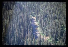
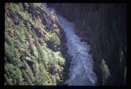
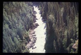
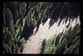
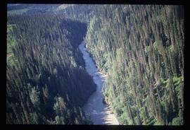
Image depicts a view of the Herrick River in what is possibly McGregor Canyon; the slide is simply labelled "McG above Canyon."
Image depicts a view of the Herrick River in what is possibly McGregor Canyon; the slide is simply labelled "McG Canyon."
Image depicts a view of the Herrick River in what is possibly McGregor Canyon; the slide is simply labelled "McG Canyon."
Image depicts a view of the Herrick River in what is possibly McGregor Canyon; the slide is simply labelled "McG above Canyon."
Image depicts a view of the Herrick River in what is possibly McGregor Canyon; the slide is simply labelled "McG Canyon - above Herrick."
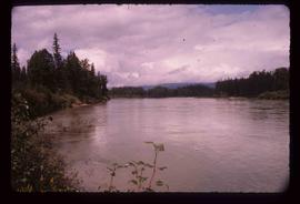
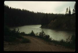
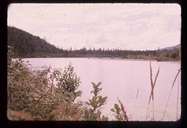
Image depicts the McGregor River at an uncertain location.
Image depicts what is possibly the McGregor River.
Image depicts the McGregor River at an uncertain location.
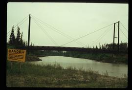
Image depicts a bridge over the McGregor River. A sign in the image reads: "Danger. The river is not navigable for any type of boat. Down stream falls and rapids impassible!"
Image depicts a bridge over the McGregor River.
Image depicts a bridge over the McGregor River.
Image depicts the McGregor from the point of view of a bridge.
Image depicts a view of McGregor Valley from an uncertain location.
Image depicts a view of McGregor Valley.
