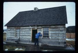
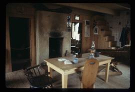
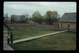
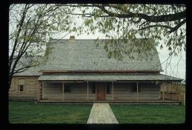
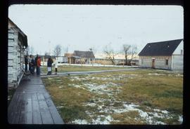
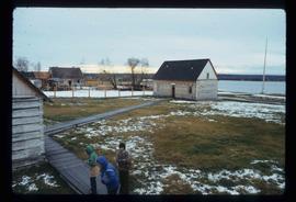
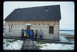
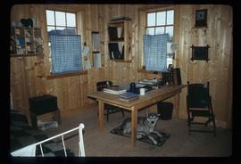
Showing 4312 results

Archival description
3025 results with digital objects Show results with digital objects
"Fort George first addition"
2012.13.2.02.33.11 · Item · [1990?]
Part of J. Kent Sedgwick fonds

The item is a reproduction of a survey map drafted on 20 Nov. 1910. The reproduction was likely created in 1990. The subdivision is lot 2610 G. I. and part of lots 2507 and 2608 G. I. Cariboo District. The area covered is South of 8th Avenue, East of 19th Avenue, North of 8th Street and West of Quinn Street. Annotations state, "Pl. 847," and various notations regarding lot information.

Fort George Park
2012.13.1.3.113 · Item · 12 Oct. 1989
Part of J. Kent Sedgwick fonds

Image depicts the Fort George Par, which was renamed Lheidli T'enneh Memorial Park in 2015. Map coordinates 53°54'30.2"N 122°43'57.4"W

Fort George Regional Museum
2012.13.1.3.071 · Item · Oct. 1983
Part of J. Kent Sedgwick fonds

Image depicts the Fort George Regional Museum (now known as The Exploration Place) in Prince George, B.C. Map coordinates 53°54'18.6"N 122°44'09.8"W

2012.13.1.93.29 · Item · 1978
Part of J. Kent Sedgwick fonds

Image depicts numerous pieces of what appears to be old farming equipment. There is also an unidentified individual sitting aginst the side of a building. The location is possibly Fort St. John, B.C.