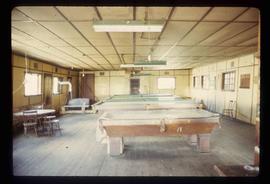
Image depicts an old pool hall somewhere in Wells, B.C.
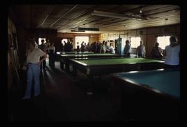
Image depicts an old pool hall, crowded with unknown individuals, somewhere in Wells, B.C.
Image depicts a totem pole and a playground in what appears to be a residential area somewhere on Haida Gwaii, B.C.
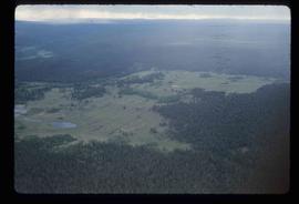
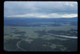
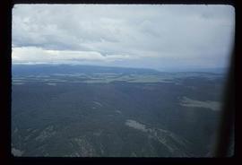
Image depicts an aerial view of a plateau near the Fraser River.
Image depicts an aerial view of a plateau near the Fraser River.
Image depicts an aerial view of a plateau near the Fraser River.
The item is a photograph depicting a plaque regarding floods in Prince George. It describes the floods of 1936 and 1972.
The item is a photograph depicting a plaque regarding floods in Prince George. It describes the floods of 1936 and 1972.
The item is a photograph depicting a plaque regarding floods in Prince George. It describes the floods of 1936 and 1972.
The item is a photograph depicting the plaque on the Arrival of Steel monument at 772 1st Avenue, Prince George.
The item is a photograph depicting the plaque on the Arrival of Steel monument at 772 1st Avenue, Prince George.
The item is a photograph depicting the plaque on the Arrival of Steel monument at 772 1st Avenue, Prince George.
The item is a photograph depicting the plaque on the Alexander Mackenzie monument in Fort George Park. The plaque is titled "The Explorations of Sir Alexander Mackenzie." The plaque is written in both English and French. The annotation on the reverse side of the photograph states, "96 words."
The item is a reproduction of a map originally surveyed in 1984 by F. A. Deveraux. The map is a plan of the "Fort George Indian Reserves" in the Cariboo District. Annotations include the approved signatures of Leo. B. Martin and R. O'Reilly dated 21 September 1895.
The item is a reproduction of a survey map drafted on 27 July 1910. The reproduction was likely created in 1990. The area covered is South of Reserve Avenue, East of Victoria, North of Bird Avenue and West of 9th Street. Annotations state, "#796" and highlight the date and registered owner.
The map depicts Prince George lots alongside the Fraser River and has annotations by Kent Sedgwick outlining the location of the original cemetery. The map is a reproduction created in August 1910 and revised in 1965. Copy was produced between 1980 and 2000.
The item is a reproduction of a survey map drafted on 10 July 1956 and registered on 31 Oct. 1956. The reproduction was likely created in 1990. The plan number is 7782.
The item is a reproduction of a survey map likely drafted in the 1910s. The reproduction was likely created in 1990. The area covered is South of Baillie Street, East of 22nd Avenue, North of Princess Street and West of 7th Avenue. Annotations state, "Pl. 833" and various lot descriptions.
The item is a reproduction of a survey map drafted in 1909. The reproduction was likely created in 1990. The area covered are lots 931 and 417. Annotations state, "Plan 701," and various names are highlighted.
The item is a reproduction of a survey map drafted on 1 March 1910. The reproduction was likely created in 1990. The area highlighted is along the Fraser River. The map details subdivisions East of Ninth Street and South of Thapage Lane. Land Surveyor J. F. Templeton certified the plan. Annotation on the map states, "Pl. 727."
The item is a reproduction of a survey map drafted on 1 March 1910. The reproduction was likely created in 1990. The area covered is South of Bernhardt Avenue, East of Simpson Street, North of the Fraser River and West of 9th Street. Annotations state, "DL 1426 Plan 721."
The item is a reproduction of a survey map drafted in 1 Oct. 1913. The reproduction was likely created in 1990. The area covered is along the Fraser River and west of Linooln Avenue, south of Jackson Street and North of McKinley Street. Annotations state which maps and lots are adjacent to this one. An illegible signature is highlighted.
The item is a reproduction of a survey map drafted on 29 Oct. 1910. The reproduction was likely created in 1990. The area covered is South of Princess Street, East of James Avenue, North of 8th Street and West of Rupert Avenue. Annotations state, "Jesse Hodgeson Crown grand in 1910 for $800..."
The item is a reproduction of a survey map drafted in July 1914. The reproduction was likely created in 1990. The area covered is along the Fraser River and east of Guelph Street. Annotations state, "PL 1409 D. L. 417 HBCo." and highlight different scales of measurement and changed street names.
The item is a map depicting townsite plans for South Hazelton, BC. Slight water damage on center of map.
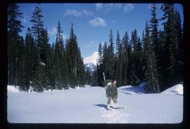
Image depicts an unknown individual at the Place Glacier.
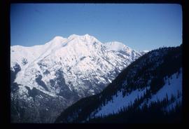
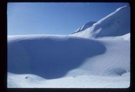
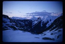
Image depicts the Place Glacier.
Image depicts the Place Glacier.
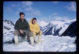
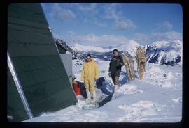
Image depicts two unknown individuals at the Place Glacier.
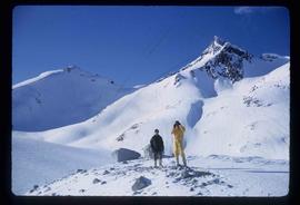
Image depicts the Place Glacier. There are two unknown individuals present.
Image depicts the Place Glacier.
Image depicts the Place Glacier. There are two unknown individuals present.
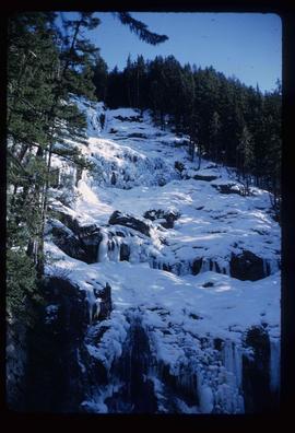
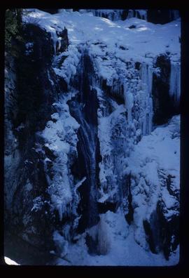
Image depicts the mostly frozen Place Creek Falls.
Image depicts the mostly frozen Place Creek Falls.
The item is a reproduction of a survey map likely drafted in the 1910s. The reproduction was likely created in 1990. The area covered is South of Anderson Street, East of Simpson Street, North of Van Bien Avenue and West of 9th Street. Annotations state, "Pl 721 DL 1426."
Image depicts a pipeline at Shelley, B.C.
The item is a photograph depicting Pineview General Store at 9820, Old Cariboo Highway. Photograph taken in 2005.
The item is a 35 mm slide photograph depicting the Pineview General Store at 9820 Old Cariboo Highway. Photograph taken in 2005.
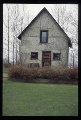
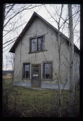
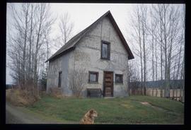
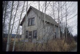
Image depicts an old Swedish style house somewhere in the Pineview subdivision in Prince George, B.C.
Image depicts an old Swedish style house somewhere in the Pineview subdivision in Prince George, B.C.
Image depicts an old Swedish style house somewhere in the Pineview subdivision in Prince George, B.C.
Image depicts an old Swedish style house somewhere in the Pineview subdivision in Prince George, B.C.
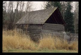
Image depicts an old barn somewhere in the Pineview subdivision in Prince George, B.C.
Image depicts Pineview on Buckhorn Lake Road, Prince George, B.C.
Image depicts Pineview on Buckhorn Lake Road, Prince George, B.C.
Image depicts Pineview on Buckhorn Lake Road, Prince George, B.C.
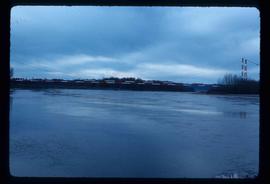
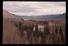
Image depicts what is either the Peace or Kiskatinaw River in Pine Valley, B.C.
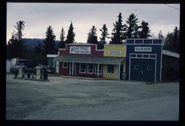
Image depicts the Pine Tree Restaurant in Atlin, B.C. It is possibly part of the Atlin Museum.
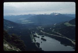
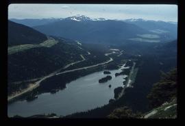
Image depicts a view of Pine Pass.
Image depicts a view of Pine Pass.
