2012.13.1.54.20
·
Item
·
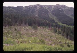
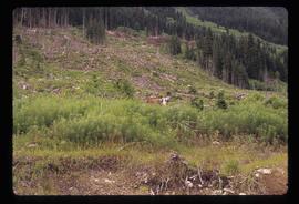
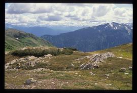
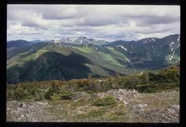
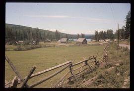
July 1977
Part of J. Kent Sedgwick fonds
Image depicts a road, possibly Joffre Creek Road. The slide is simply labelled "Joffre cr."