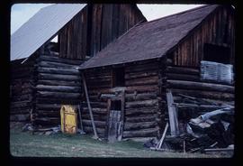
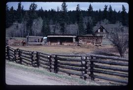
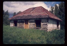
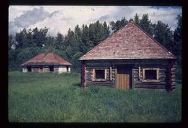
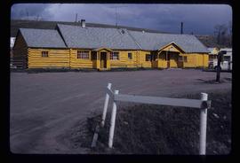
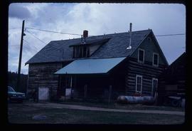
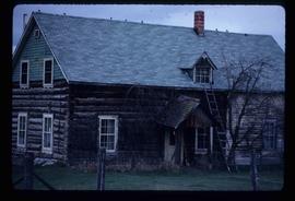
The item is a photograph depicting a white heritage house in old South Fort George. It was known as the Moran house and was located at 3067 Queensway, Prince George. Annotation on the reverse side of the photograph states, "S. Ft Geo burned, demolished."
The item is a photograph depicting the exterior of old damaged buildings on the Moffat farmland. There is a fence at the entrance to the driveway with an address sign that reads "1820."
The item is a photograph depicting the exterior of old damaged buildings on the Moffat farmland. There is a fence at the entrance to the driveway with an address sign that reads "1820." Annotation on the back of the photograph states, "Moffatt (Gunn) farm 2005."
The item is a photograph depicting the exterior of old damaged buildings on the Moffat farmland. There is a fence at the entrance to the driveway with an address sign that reads "1820."
The item is a photograph depicting a 1/48 scale model of the Cameron Street bridge. The angle is looking down the bridge with a blue and a yellow model car on the bridge. Annotation on the reverse side of the photograph states, "Oct. 2008 1/48 scale model of the Cameron St. bridge 1931-2005 by Roy Groeneveld."
The item is a photograph depicting a 1/48 scale model of the Cameron Street bridge. The angle is a side view of the bridge with a blue and a yellow model car on the bridge. Annotation on the reverse side of the photograph states, "Oct. 2008 1/48 scale model of the Cameron St. bridge 1931-2005 by Roy Groeneveld."
Image depicts a dog and dog house in the back of a pick-up somewhere near Prince George, B.C.
The item is a photograph depicting the front of a white house. The sign on the front reads, "Ministry of Agriculture & Food Reception."
The item is a black and white photograph depicting the front of a white house. The sign on the front reads, "Ministry of Agriculture & Food Reception."
Image depicts a view of the Millar Addition suburb in Prince George, B.C.
Image depicts the Robert Lowe Bridge, built in 1922, in the Miles Canyon near Whitehorse Y.T.
Image depicts a river in the Miles Canyon near Whitehorse Y.T. The Robert Lowe Bridge, built in 1922, can be seen over the canyon.
Image depicts the fish ladder of the Meziadin Falls, designed to help fish swim upstream.
Image depicts several individuals looking down into a closed off section of a river in Meziadin Lake Provincial Park. They are counting fish.
Image depicts buildings in the village community of Metlakatla, B.C.
Image depicts Metlakatla, located near Prince Rupert, B.C.
Image depicts buildings in the village community of Metlakatla, B.C.
The photograph depicts a metal engraving that is likely on a metal door at the roundhouse in the CN Railyard in Prince George, B.C. Engraving reads "GTPRY 296." Reproduction of photograph from 1984.
The item is a photograph of Merle Norman Cosmetics and an unknown commercial building on 3rd Avenue in Prince George.
Image depicts a house with torn-up siding. The slide is labelled: "Mellos house relocated from Penny." The location is uncertain.
Image depicts a yellow building in Meldrum Creek.
Image depicts a ranch house in Meldrum Creek, B.C.
Image depicts fenced-in cattle on a farm or ranch in Meldrum Creek, B.C.
Image depicts an old, collapsing shack in Meldrum Creek, B.C.
Image depicts a barnyard of cattle and chicken on a farm or ranch in Meldrum Creek, B.C.
Image depicts a shack with a red roof near McLeod Lake.
Image depicts the old Hudson's Bay Company Trading Post at McLeod Lake.
Image depicts a building by the shore of McLeod Lake.
Image depicts McLeod Lake and several buildings along the shore.
Image depicts a bridge over the McGregor River. A sign in the image reads: "Danger. The river is not navigable for any type of boat. Down stream falls and rapids impassible!"
Image depicts a bridge over the McGregor River.
Image depicts the McBride Hotel near the Mt. Robson Provincial Park.
Image depicts the McBride District Centennial Library.
Image depicts the McBride CNR station.
Image depicts the rear-end of the CN Station in McBride, B.C.
Image depicts the CN Station in McBride, B.C.
Image depicts a street in McBride, B.C.
Image depicts a view of what is either the Rocky Mountains or possibly the Columbia Mountains from McBride, B.C.
Image depicts a view of what is either the Rocky Mountains or possibly the Columbia Mountains in the background of a small section of McBride, B.C.
Image depicts an old house somewhere in McBride, B.C.
Image depicts several houses in McBride, B.C. A mountain is visible in the background.
Image depicts a house somewhere in McBride, B.C.
Image depicts a machine shop somewhere in McBride, B.C. The sign above the door reads "McBride Air Cooled Engine Services Ltd."