2012.13.1.50.102
·
Item
·
1980
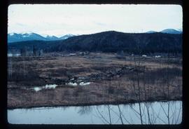
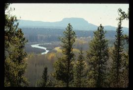
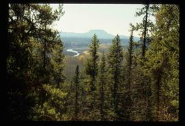
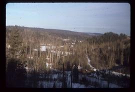
Part of J. Kent Sedgwick fonds
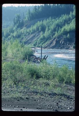
Image depicts a forest; the image is possibly taken from somewhere near the Cottonwood Rail Road Bridge.