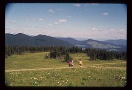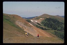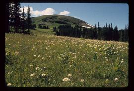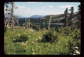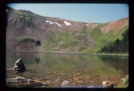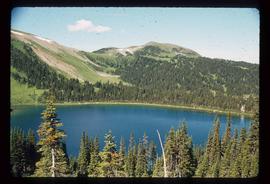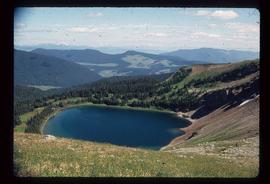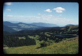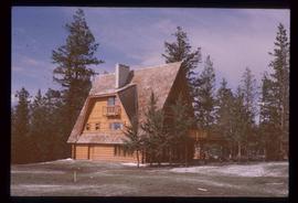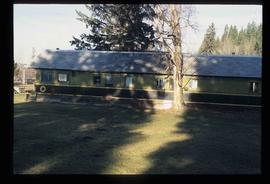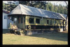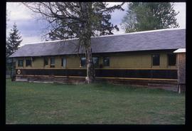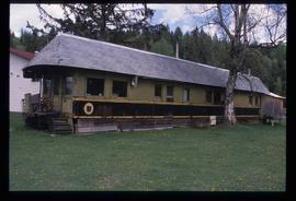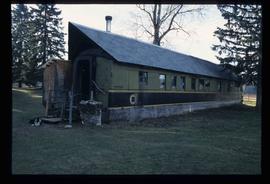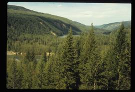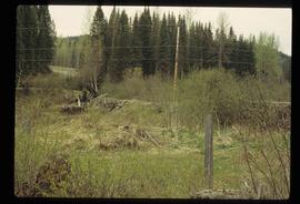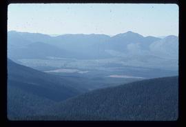
2012.13.1.79.21
·
Item
·
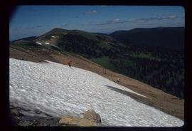
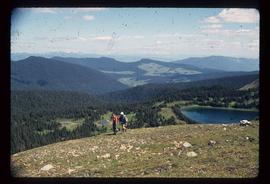
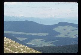
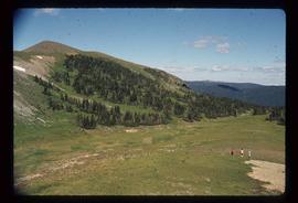
Aug. 1977
Part of J. Kent Sedgwick fonds
Image depicts a view of the area surrounding Raven Lake.