2012.13.1.69.15
·
Item
·
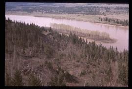
[1981?]
Part of J. Kent Sedgwick fonds
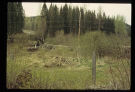
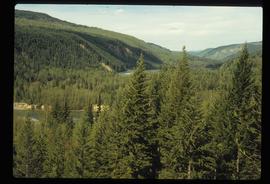
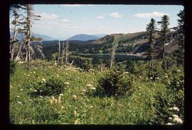
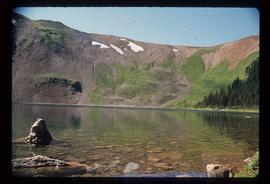
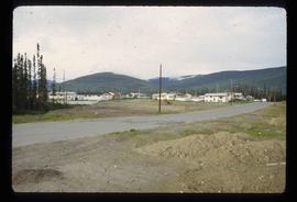
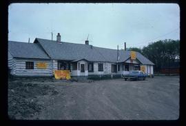
Image depicts numerous abandoned and ruined cabins at Quesnelle Forks.