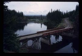
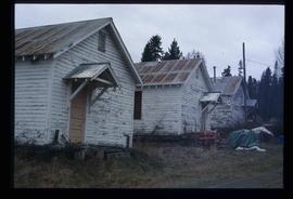
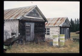
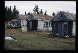
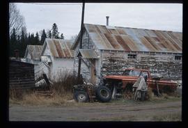
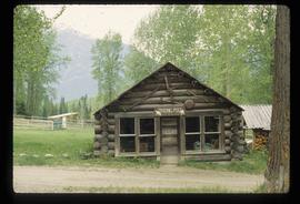
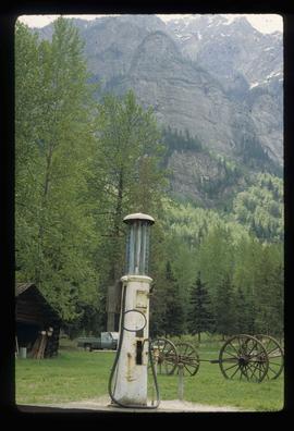
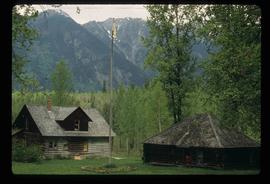
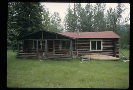
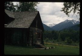
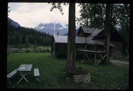
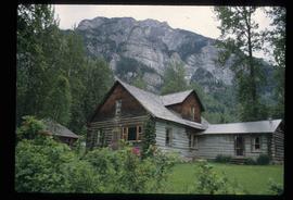
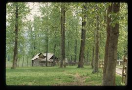
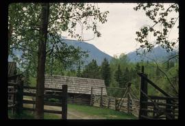
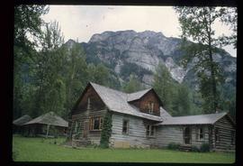
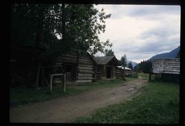
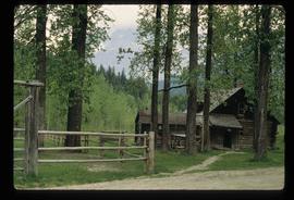
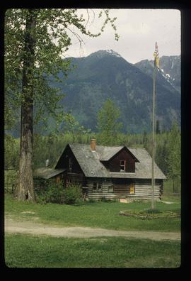
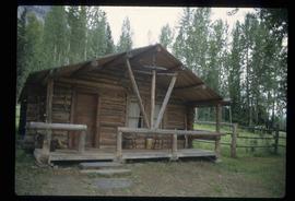
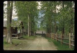
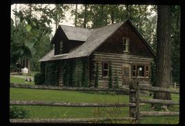
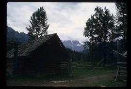
Image depicts a couple of old, collapsing buildings at the Nautley site in Fort Fraser, B.C.
Image depicts Nautley and the Nautley River near Fraser Lake, B.C.
Image depicts a bridge over the Nation River somewhere south of Manson Creek, B.C.
Image depicts a south-west view of the Nass Valley.
Image depicts a bridge over the Nass River.
Image depicts the old Myatovic schools.
Image depicts a woman standing next to a model of a ship in glass case in what appears to be a museum. The location is uncertain.
Image depicts a muddy back road and an old shack at an uncertain location.
Image depicts a rail road bridge over the Mud River.
Image depicts what appears to be a mud house with grass and weeds growing on the roof at an uncertain location. An unknown woman is sitting on a bench outside of it.
Image depicts a river somewhere in Mt. Robson Provincial Park, with a bridge running over it. The slide itself is labelled "Robson station."
Image depicts a snow sculpture of the Mr. P.G. lounging on a couch, possibly during the Winter City Conference, in Prince George, B.C. Taken at the Prince George Civic Center. Map coordinates 53°54'45.6"N 122°44'59.6"W
Image depicts Mr. P.G. and the Tourism Information site at the intersection of Highway 16 and 97. Map coordinates 53°53'46.5"N 122°46'00.7"W
Image depicts a field and a shack in the foreground and mountains in the background. The location is uncertain, likely Longworth, B.C.
Image depicts the old trading post at Mount Robson Ranch.
Image depicts an old gas pump at the Mount Robson Ranch.
Image depicts the Mount Robson Ranch.
Image depicts the Bulkley River running through Moricetown Canyon.
Image depicts a church on a hill in Moricetown, B.C.
Image depicts a few old buildings, as well as several unknown individuals somewhere in Moricetown, B.C.
Image depicts a dog and dog house in the back of a pick-up somewhere near Prince George, B.C.
Image depicts a view of the Millar Addition suburb in Prince George, B.C.
Image depicts the Robert Lowe Bridge, built in 1922, in the Miles Canyon near Whitehorse Y.T.
Image depicts a river in the Miles Canyon near Whitehorse Y.T. The Robert Lowe Bridge, built in 1922, can be seen over the canyon.
Image depicts the fish ladder of the Meziadin Falls, designed to help fish swim upstream.
Image depicts several individuals looking down into a closed off section of a river in Meziadin Lake Provincial Park. They are counting fish.
Image depicts buildings in the village community of Metlakatla, B.C.
Image depicts Metlakatla, located near Prince Rupert, B.C.