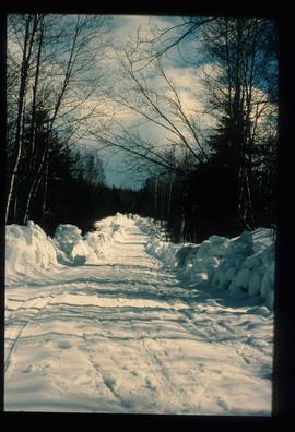
Image depicts a road covered in snow running through the woods at an uncertain location.
Image depicts a snowy road at an uncertain location.
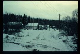
Image depicts a snow-covered road with vehicle tracks, and several houses. The location is uncertain.
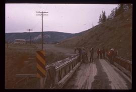
Image depicts a bridge at Soda Creek, B.C. There are numerous unknown individuals present.
Image depicts rail road tracks through a forest, as well as a river; located in Soda Creek, B.C.
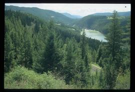
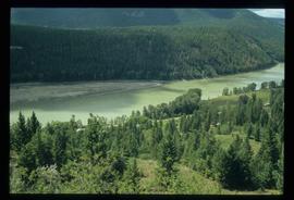
Image depicts a forest and river in Soda Creek, B.C.
Image depicts the old BX Sternwheeler office building in Soda Creek, B.C.
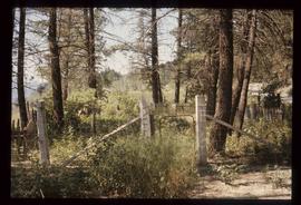
Image depicts the cemetery in Soda Creek, B.C.
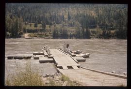
Image depicts the ferry at Soda Creek, B.C.
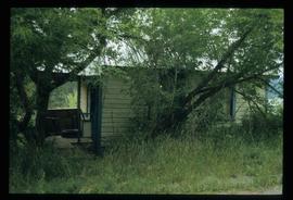
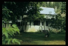
Image depicts a house in Soda Creek, B.C.
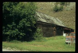
Image depicts the old community hall in Soda Creek, B.C.
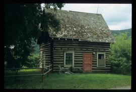
Image depicts the old jail house in Soda Creek, B.C.
Image depicts the old jail house in Soda Creek, B.C.
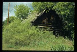
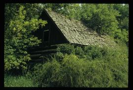
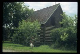
Image depicts an old building located somewhere are the Pickard farm north of Soda Creek, B.C.
Image depicts an old building located somewhere are the Pickard farm north of Soda Creek, B.C.
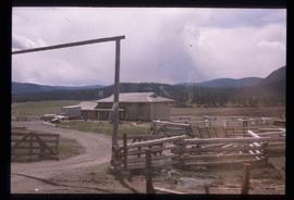
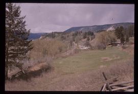
Image depicts what appears to be a Ranch at Soda Creek, B.C.
Image depicts a section of land, with a few houses, in Soda Creek, B.C.
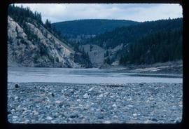
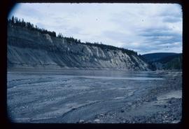
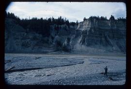
Image depicts the cutbanks of the Fraser River at Soda Creek, B.C.
Image depicts the cutbanks of the Fraser River at Soda Creek, B.C.
Image depicts the cutbanks of the Fraser River at Soda Creek, B.C.
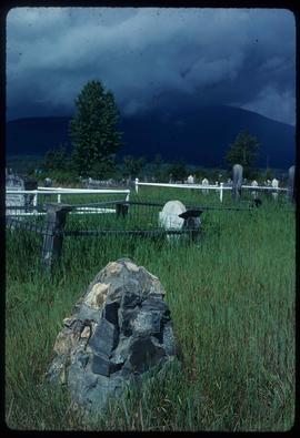
Image depicts a cemetery in the South Fort George suburb of Prince George, B.C.
The item is a map that depicts subdivision lots along the Fraser River in Prince George. The subdivision is DL 745 and 747 of the Cariboo District. Map is certified by G. F. Templeton, a BC land surveyor.
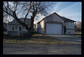
Image depicts a house somewhere in the South Fort George subdivision of Prince George, B.C.
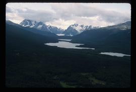
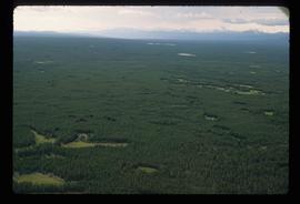
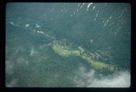
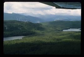
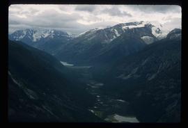
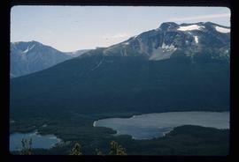
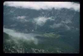
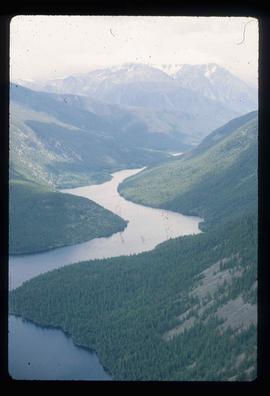
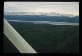
Image depicts an aerial view of a chain of lakes in South Tweedsmuir Provincial Park.
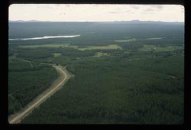
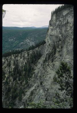
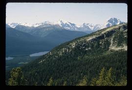
Image depicts an aerial view of South Tweedsmuir Provincial Park.
Image depicts an aerial view of South Tweedsmuir Provincial Park.
Image depicts an aerial view of South Tweedsmuir Provincial Park.
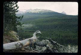
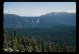
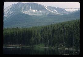
Image depicts a view of South Tweedsmuir Provincial Park.
Image depicts an aerial view of South Tweedsmuir Provincial Park.
Image depicts an aerial view of South Tweedsmuir Provincial Park.
Image depicts an aerial view of South Tweedsmuir Provincial Park.
Image depicts a lake and mountain somewhere in South Tweedsmuir Provincial Park.
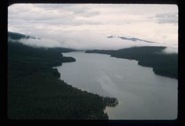
Image depicts an aerial view of a lake in South Tweedsmuir Provincial Park.
Image depicts an aerial view of South Tweedsmuir Provincial Park.
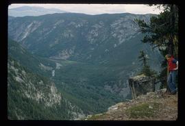
Image depicts a view of South Tweedsmuir Provincial Park. An unidentified man stands on the side of the image.
Image depicts an aerial view of a "glaciated valley" in South Tweedsmuir Provincial Park. Glacier Mountain is present in the image.
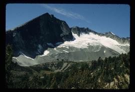
Image depicts an aerial view of Glacier Mountain in South Tweedsmuir Provincial Park.
Image depicts an aerial view of what is likely Glacier Mountain in South Tweedsmuir Provincial Park. The two lakes present are possibly Vista and Junker.
Image depicts an aerial view of South Tweedsmuir Provincial Park. The lake is possibly Lonesome Lake.
Image depicts an aerial view of a lake in South Tweedsmuir Provincial Park. It is possibly Lonesome Lake.
Image depicts an aerial view of what is likely Turner Lake in South Tweedsmuir Provincial Park.
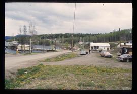
Image depicts Southbank, B.C.
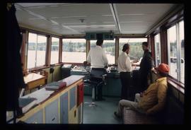
Image depicts the interior of the ferry at Southbank, B.C.
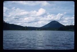
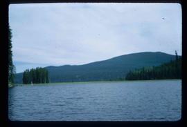
Image depicts Spectacle Lake.
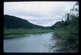
Image depicts the river channel leading to the Spectacle Lakes.
Image depicts the river channel leading to the Spectacle Lakes.
Image depicts the river channel leading to the Spectacle Lakes.
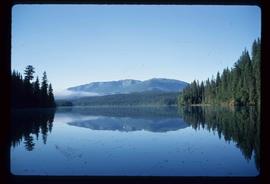
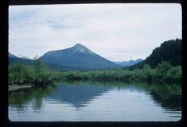
Image depicts a mountain in the distance, and the river channel leading to the Spectacle Lakes.
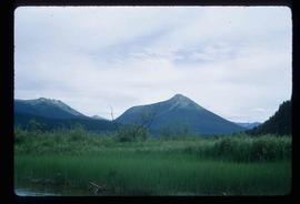
Image depicts mountains, taken from the river channel leading to the Spectacle Lakes.
The item is a photograph of Speedy Cash and Gundy's News building on 3rd Avenue in Prince George.
