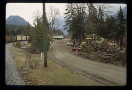
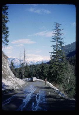
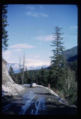
Image depicts a road with what appears to be a junkyard to the right of the image, likely located somewhere in Seton Portage, B.C.
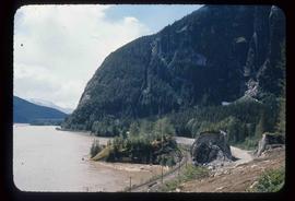
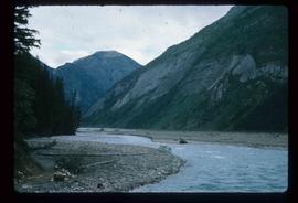
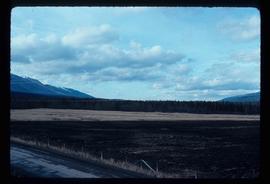
Image depicts a mountain located somewhere along the Skeena River, and a road alongside it.
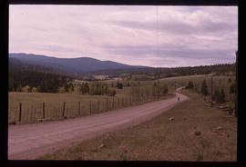
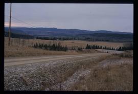
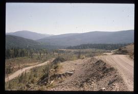
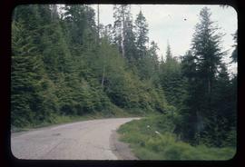
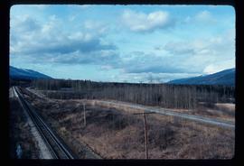
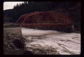
Image depicts a road somewhere in the Upper Fraser Canyon, and a view of the hills and trees.
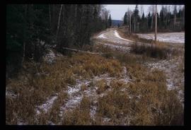
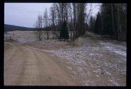
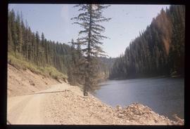
The item is a photograph depicting a dirt road in Ten Mile Park, BC. Annotation on reverse side of photograph states, "in 10 ml park."
The item is a photograph depicting a dirt road in Ten Mile Park, BC. Annotation on reverse side of photograph states, "in 10 ml park."
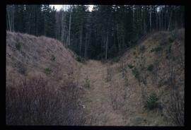
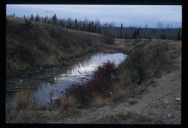
Image depicts a ditch near a road somewhere in Woodpecker B.C.
Image depicts a road somewhere in Woodpecker, B.C.
Image depicts a water-filled ditch near a road somewhere in Woodpecker B.C.
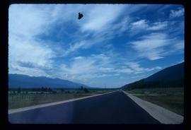
Image depicts a north view of a road somewhere in Woodpecker, B.C.
Image depicts a north view of a road somewhere in Woodpecker, B.C.
Image depicts a road located somewhere near Birken, B.C.
Image depicts a road located somewhere near Birken, B.C.
Image depicts the road leading to Hyder, which is on the other side of the Alaska-British Columbia border and is just a little south-west of Stewart, B.C.
Image depicts the dirt road leading to Keithley Creek.
Image depicts the dirt road leading to Keithley Creek.
Image depicts a road leading to Prince Rupert, B.C.
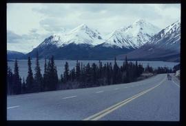
Image depicts the road to Skagway, Alaska. Possibly located on the Klondike Highway in British Columbia with Tutshi Lake on the left.
The item is a photograph depicting a roadbed in a forest. Annotation on reverse side of photograph states, "roadbed."
The item is a photograph depicting a roadbed in a forest. Annotation on reverse side of photograph states, "roadbed."
The item is a photograph depicting a roadbed in a forest. Annotation on reverse side of photograph states, "roadbed to road."
The item is a photograph depicting a roadbed in a forest along a barbwire fence. Annotation on reverse side of photograph states, "roadbed to road."
The item is a photograph depicting a roadbed in a forest. Annotation on reverse side of photograph states, "roadbed mn road."
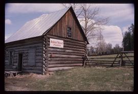
Image depicts an old log cabin with the sign "Robin Hood Flour" on it at an uncertain location. It is possibly at the 153 Mile House.
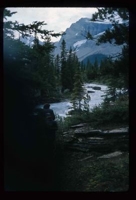
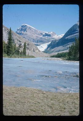
Image depicts what is possibly the Robson River.
Image depicts a river, possibly the Robson River.
Image depicts what is possibly the Robson River.
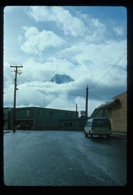
Image depicts the peak of the Rocher de Boule mountain from Hazelton, B.C.
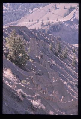
Image depicts ridge-like rock formations at an uncertain location, though possibly somewhere near the Fraser River.
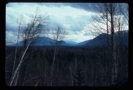
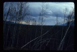
Image depicts a heavily forested area located in the Rocky Mountain Trench, possibly near Dome Creek or Lamming Mills, B.C.
Image depicts a heavily forested area located in the Rocky Mountain Trench, possibly near Dome Creek or Lamming Mills, B.C.
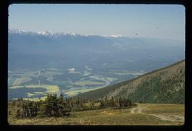
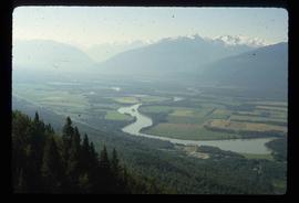
Image depicts a view of the Rocky Mountain Trench.
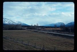
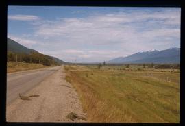
Image depicts the Rocky Mountain Trench from McBride, B.C.
Image depicts the Rocky Mountain Trench from McBride, B.C.
Image depicts a view of an area somewhere near McBride in the Rocky Mountain Trench.
Image depicts the Rocky Mountain Trench from McBride, B.C.
Image depicts a view of the Rocky Mountain Trench somewhere near McBride, B.C.
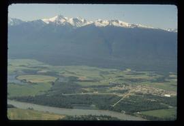
Image depicts a view of McBride in the Rocky Mountain Trench.
Image depicts a view of the Rocky Mountain Trench somewhere near McBride, B.C.
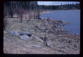
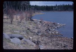
Image depicts the rocky shore of an unidentified body of water, possibly near Meldrum Creek, B.C.
Image depicts the rocky shore of an unidentified body of water, possibly near Meldrum Creek, B.C.
The item is a DVD-R containing two video files taking up a total of 2GB.
Photograph depicts Rosel's restaurant at 1624 7th Avenue. Rosel's restaurant was owned and operated by Wilfred and Rosel Vogt from 1981 to 1997. The building was built in 1916 and was originally owned by Dr. Carl Ewart and later owned by Hubert King of Wilson, King and Company, the oldest law firm in Prince George, after 1946. The building is now a designated heritage building.
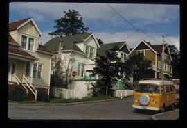
Image depicts a row of houses; it is possibly in Prince Rupert, B.C.
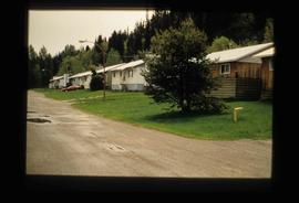
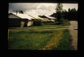
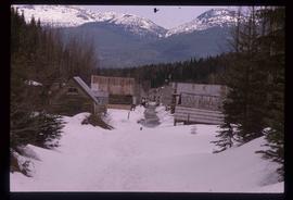
Image depicts a row of houses in Upper Fraser, B.C. Map coordinates 54°06'51.6"N 121°56'26.3"W
Image depicts a row of houses in Upper Fraser, B.C. Map coordinates 54°06'51.6"N 121°56'26.3"W
Image depicts two rows of houses in an unknown location.
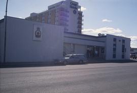
Image depicts the Royal Canadian Legion building on 7th Ave and the Inn of the North Coast Hotel in the background. Map coordinates 53°54'50.6"N 122°44'56.1"W
The item is a CD-R containing 18 Tiff images of plans for Hatley Park. The files take up 139 mb on the CD-R.
Image depicts a small foot bridge at an unknown location. The slide is simply labelled "Rudi's Bridge."
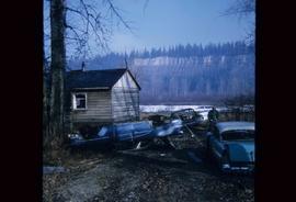
Image depicts several old, ruined cars and an unknown individual in Island Cache.
