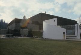
The item is a photograph reprint originally taken between 1967 and 1975. The photograph depicts the exterior of Prince George City Hall prior to its three story expansion in 1975. The photograph is taken from a nearby parking lot. The address is 1100 Patricia Boulevard.
The item is a photograph reproduction of Prince George's City Hall circa. 1922. The building is approximately two stories high. There is an artillery canon next to the building.
The item is a photograph of a photograph depicting Prince George's City Hall circa. 1922 . The building is approximately two stories high. There is an artillery cannon next to the building. The reflection of the photographer is slightly visible in the photograph.
The item is a 35 mm photograph negative of a photograph depicting Prince George's City Hall circa. 1922 . The building is approximately two stories high. There is an artillery cannon next to the building. The refection of the photographer is slightly visible in the photograph.
The item is a 35 mm photograph negative of a photograph depicting Prince George's City Hall circa. 1922 . The building is approximately two stories high. There is an artillery cannon next to the building. The refection of the photographer is slightly visible in the photograph.
The item is a photograph of a photograph depicting Prince George's City Hall circa. 1922 . The building is approximately two stories high. There is an artillery cannon next to the building. The reflection of the photographer is slightly visible in the photograph.
The item is a photograph of a photograph depicting Prince George's City Hall circa. 1922 . The building is approximately two stories high. There is an artillery cannon next to the building. The reflection of the photographer is slightly visible in the photograph.
The item is a photograph depicting Prince George City hall in 1994. The photograph was taken around Christmas. A nativity scene can be seen in front of the building. Annotation on the back states, "Dave Mah c. 1994." The address is 1100 Patricia Boulevard.
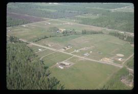
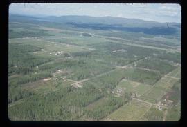
Image depicts a clearing in Prince George, B.C., possibly in the Pineview area.
Image depicts a clearing in Prince George, B.C.
The item is a photograph negative depicting the back exterior of the Prince George Coliseum. There is snow on the ground and a full parking lot. The Prince George Civic Centre can be seen in the background.
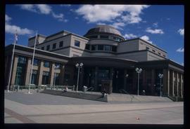
Image depicts the Courthouse in Prince George, B.C.
Image depicts Prince George from the view of Peden Hill.
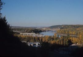
Image depicts a view of Prince George from the cutbanks.
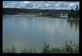
Image depicts a view of Prince George from the cutbanks on the Nechako river.
Image depicts a Prince George residential area from the viewpoint of the Ginter Property.
Image depicts a Prince George residential area from the viewpoint of the Ginter Property.
The item is a photograph depicting a woman standing in front of a display containing various items and photographs regarding the history of Prince George. Annotation on reverse side of photograph states, "Living Ls. 2003."
The item is a photograph of the Prince George Home Builders' Association Professional Building at 1705 3 Avenue, Prince George.
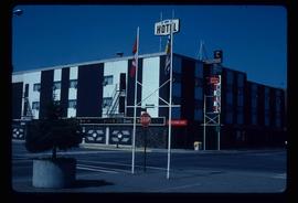
Image depicts the Prince George Hotel.
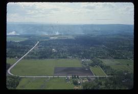
Image depicts Prince George near the Airport Road.
The item is one CD-R containing 22 photographs depicting Prince George and various building throughout the twentieth century between 1910 and 1948. The format of the photographs are jpeg and tiff files.
The photograph is of the power house in Prince George before 1999. The power house was built ca. 1916.
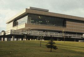
Image depicts the Prince George Public Library (Bob Harkins Branch). Map coordinates 53°54'43.1"N 122°44'56.4"W
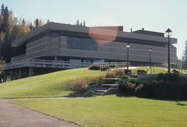
Image depicts the Prince George Public Library (Bob Harkins Branch). Map coordinates 53°54'44.6"N 122°45'01.7"W
The item is an interior photograph of the Prince George Public Library. Image depicts the stairwell entrance and elevator.
The item is a photograph depicting a narrow staircase from the parking level to the Prince George Public Library.
The item is a photograph depicting a narrow staircase from the parking level to the Prince George Public Library.
The item is a photograph depicting the exterior entrance from the parking level to the Prince George Public Library.
The item is a photograph depicting the Prince George Railway Museum building ca. 1990. The building is white with a front deck and is situated behind a chain link fence.
The item is a contact print of photo negatives. The print includes photos of downtown Prince George ca. 1980.
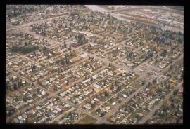
Image depicts an aerial view of a Prince George residential section between Highway 97, Carney Street and 10th Ave looking north. Map coordinates 53°54'54.0"N 122°46'00.4"W
Image depicts the Prince George Sawmill from the Northwood Bridge.
Image depicts Prince George Sawmill taken from across the Nechako River looking southwest. Map coordinates 53°56'00.0"N 122°44'29.7"W
Image depicts Prince George Sawmill taken from across the Nechako River looking southwest. Map coordinates 53°56'00.0"N 122°44'29.7"W
The item is a reproduction of an aerial photograph of Prince George in September 1969.
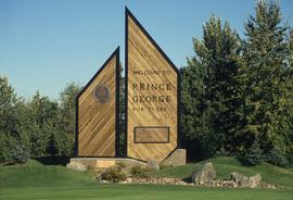
Image depicts the Prince George welcome and population sign, with a population of 71,086. Map coordinates 53°53'52.0"N 122°46'08.7"W
The item is a photograph depicting the rear side of the Prince George Snowmobile Club. The building was originally Buckhorn school. The building is wooden with a metal roof. Sign on the door reads, "Alarmed."
The item is a photograph depicting the side of the Prince George Snowmobile Club. The building was originally Buckhorn school. The building is wooden with a metal roof. Sign on the door reads, "New Members Welcome."
The item is a photograph depicting the front and side of the Prince George Snowmobile Club. The building was originally Buckhorn school. The building is wooden with a metal roof.
Image depicts the Four Seasons Leisure Pool, and the Centennial Fountain in Prince George, B.C. Map coordinates 53°54'48.5"N 122°44'49.2"W
The item is a photograph and negative of a survey map of the Prince George townsite surrounding Connaught Park.
The item is a photograph negative of a survey map of the Prince George townsite surrounding Connaught Park.
The item is a photograph and negative of a survey map of the Prince George townsite South of the Nechako River and West of the Fraser River.
The item is a photograph and negative of a survey map of the Prince George townsite surrounding Connaught Park.
The item is a photograph and negative of a survey map of the Prince George townsite South of the Nechako River and West of the Fraser River.
The item is a photograph and negative of a survey map of the Prince George townsite surrounding Connaught Park.
The item is a photograph and negative of a survey map of the Prince George townsite surrounding Connaught Park, South of the Grand Trunk Pacific railway.
The item is a photograph and negative of a survey map of the Prince George townsite surrounding Connaught Park.
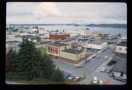
Image depicts a view of Prince Rupert, B.C.
