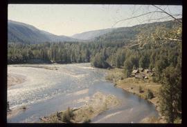
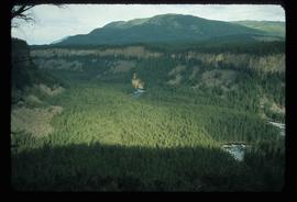
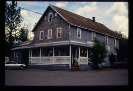
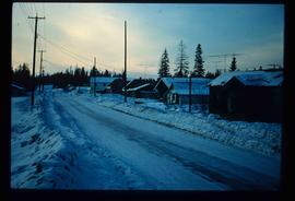
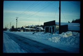
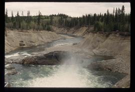
Image depicts a view of Quesnelle Forks and the nearby river.
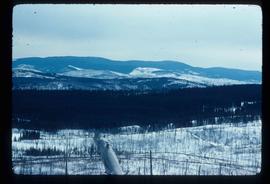
Image depicts a view of Tabor Mountain in Prince George, B.C.
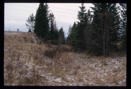
Image depicts a view south, possibly of an abandoned grade for the BCR; possibly somewhere near Woodpecker, B.C.
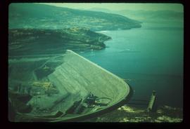
Image depicts the W.A.C. Bennett Dam on the Peace River in Hudson's Hope, B.C.
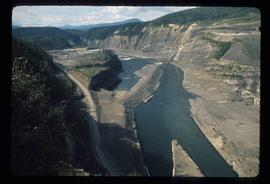
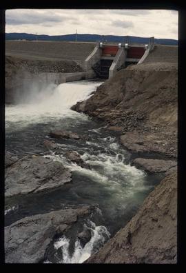
Image depicts a section of the Peace River blocked off by the W.A.C. Bennett Dam. The dam itself is not visible in the image.
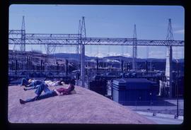
Image depicts several unidentified individuals lying on a hill outside what is most likely the W.A.C. Bennett Dam in Hudson's Hope, B.C.
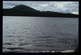
Image depicts War Lake.
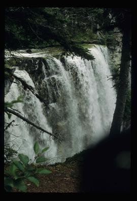
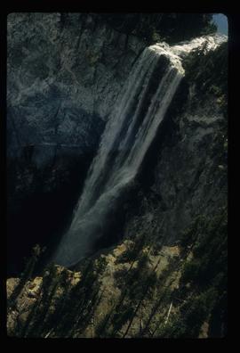
Image depicts a waterfall somewhere in South Tweedsmuir Provincial Park.
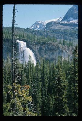
Image depicts a waterfall on a mountain side in Mt. Robson Provincial Park.
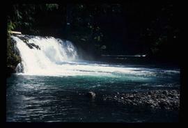
Image depicts a small waterfall at an uncertain location.
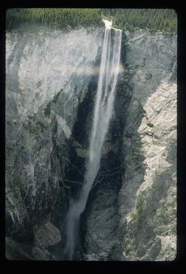
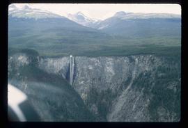
Image depicts an aerial view of a waterfall in South Tweedsmuir Provincial Park.
Image depicts an aerial view of a waterfall in South Tweedsmuir Provincial Park.
Image depicts an aerial view of a waterfall in South Tweedsmuir Provincial Park.
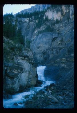
Image depicts a waterfall in what is possibly the Robson River.
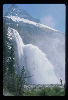
Image depicts a waterfall with a mountain peak in the background; it is most likely Mt. Robson.
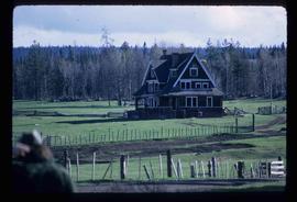
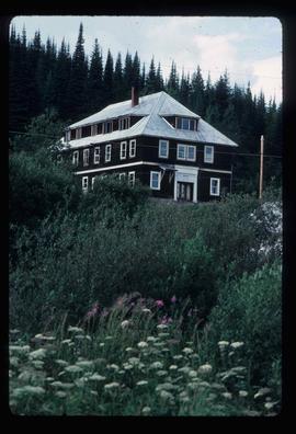
Image depicts the Watson Mansion at Mile 108 of Highway 97. It was built by Captain Geoffrey Watson in 1904, and was burned down by a chimney fire in 1983.
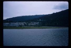
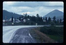
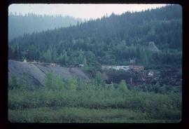
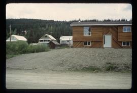
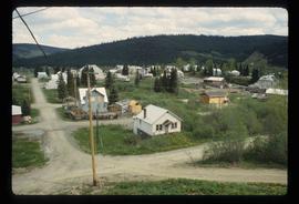
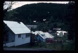
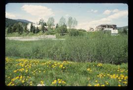
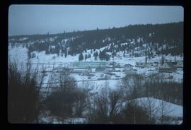
Image depicts Wells, B.C.
Image depicts Wells, B.C.
Image depicts Wells, B.C.
Image depicts Wells, B.C.
Image depicts Wells, B.C.
Image depicts Wells, B.C.
Image depicts Wells, B.C.
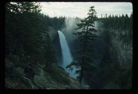
Image depicts the Helmcken Falls in Wells Gray Provincial Park.
Image depicts the drainage area for the Helmcken Falls in Wells Gray Provincial Park.
Photograph depicts the old hospital building in Wells. At the time the photo was taken, 1978, it was being used as an apartment building, and that is still its current use.
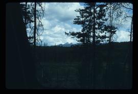
Image depicts woods located west of Leo Creek, with mountains in the distance.
Image depicts a grave somewhere along the White Pass railway.
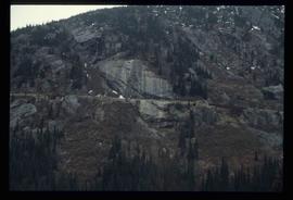
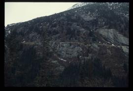
Image depicts a mountain side somewhere along the White Pass railway. The thin ridge along the mountain side is possibly either a highway or part of the railway.
Image depicts a mountain side somewhere along the White Pass railway. The thin ridge along the mountain side is possibly either a highway or part of the railway.
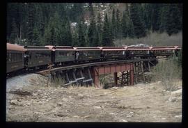
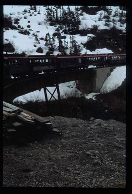
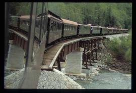
Image depicts the White Pass Train crossing over a railway bridge at an uncertain location.
Image depicts the White Pass Train crossing over a railway bridge at an uncertain location in the mountains.
Image depicts the White Pass Train crossing over a railway bridge at an uncertain location.
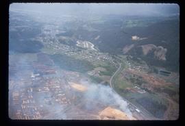
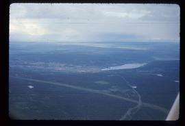
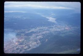
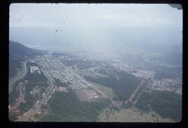
Image depicts an aerial view of Williams Lake, B.C.
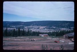
Image depicts a view of Williams Lake, B.C.
Image depicts an aerial view of Williams Lake, B.C.
Image depicts an aerial view of Williams Lake, B.C.
Image depicts an aerial view of Williams Lake, B.C.
Image depicts the St. Joseph's Mission in Williams Lake, B.C.
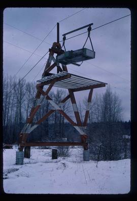
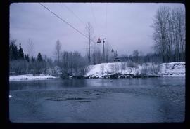
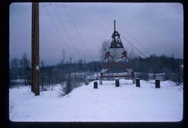
Image depicts the cableway in Willow River, B.C.
Image depicts the cableway, stretching over a river, in Willow River, B.C.
Image depicts the cableway in Willow River, B.C.
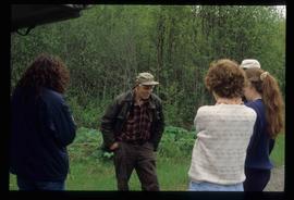
Image depicts a group of people somewhere in Willow River, B.C. The man in the plaid shirt and beige cap is identified on the slide as being Lloyd Edwards.
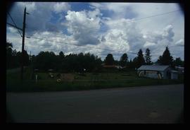
Image depicts a playground in Willow River, B.C. The slide labels it as being a "former hotel site." Map coordinates 54°04'23.7"N 122°28'26.9"W
Image depicts the Willow River General Store. Map coordinates 54°04'23.7"N 122°28'26.9"W
Image depicts a snowy street in Willow River, B.C. with a row of houses. The white building on the end with the Pepsi sign is the Willow River General Store. Map coordinates 54°04'18.3"N 122°28'14.7"W
Image depicts a snowy street in Willow River, B.C. There are several buildings, one is an Esso station and another is labelled as "Red & White Food Store."
Image depicts a river, possibly somewhere in the Wistaria Provincial Park.
Image depicts a river, possibly somewhere in the Wistaria Provincial Park.
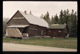
Image depicts the old community hall located somewhere in the Wistaria Provincial Park.
