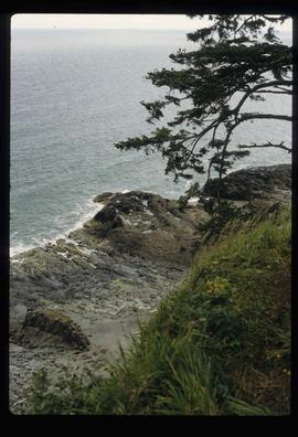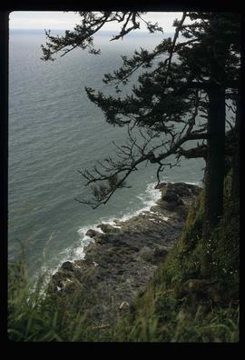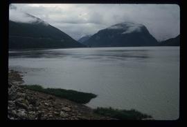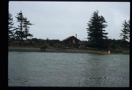
2012.13.1.78.49
·
Item
·
1982
Part of J. Kent Sedgwick fonds
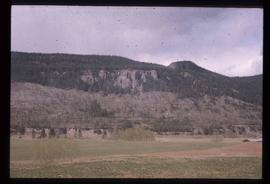
Image depicts a shed on the shore somewhere on Haida Gwaii.