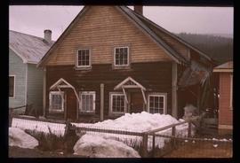
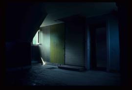
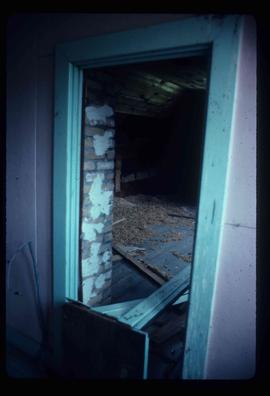
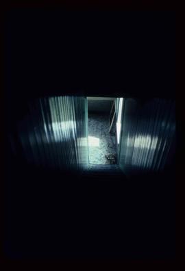
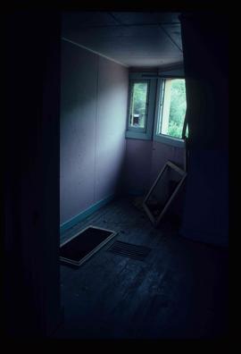
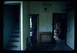
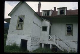
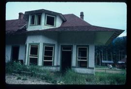
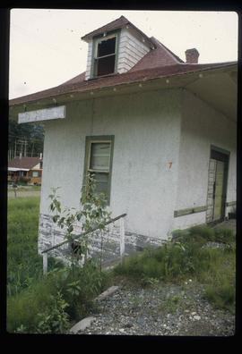
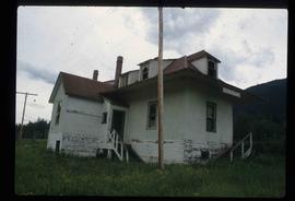
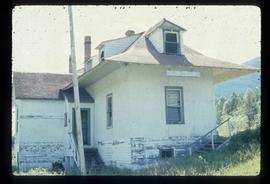
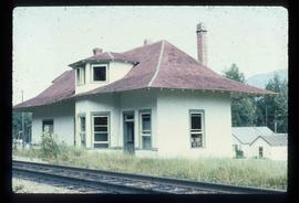
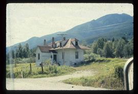
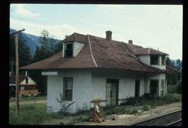
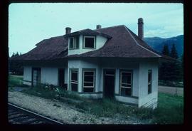
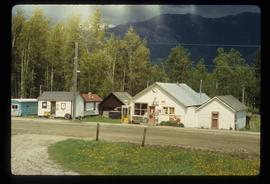
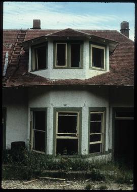
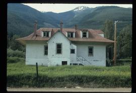
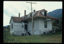
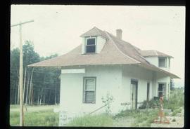
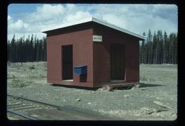
Image depicts a building surrounded by a tall, circular enclosure somewhere on Haida Gwaii, B.C.
The item is a 35 mm photograph negative of empty lots prepared for development in Prince George.
Image depicts employee houses on mill site in Giscome, B.C. Tug boats are in the foreground on the right. Map coordinates 54°04'23.4"N 122°22'16.9"W
The item is a blueprint depicting proposed floor extensions for Walter Blaufuss. Blueprints depict the exterior of the building. Building address was 535 Dominion Street, Prince George. The architect is W. Ralph Brownlee and drawn by E. O. E. Blueprints indicate it is designated as "job 5304" and "sheet W.3." Notes attached to the blueprint state, "Acme Electric adjacent on north" and "w. side of."
The item is a photograph depicting a red feed-saver automatic electric waterer.
The item is a photograph slide reproduction depicting houses in flood waters on the east end of Prince George. Annotation states, "1936 east end."
Image depicts a duplex in Wells, B.C.
The photograph depicts Dunster train station next to twinned train tracks. Annotation on slide states, "Dunster."
Image depicts the train tracks at the old Dunster Station in Dunster, B.C.
Image depicts the interior of the old Dunster Station in Dunster, B.C.
Image depicts the old Dunster Station in Dunster, B.C.
Image depicts the town of Dunster, B.C.
Image depicts an old, rundown building in Dunster, B.C. Possibly a disused Rail Station.
Image depicts an old barn located at a dairy farm somewhere near Dunlevy Creek in the Dawson Creek area.
Image depicts an old barn located somewhere near Dunlevy Creek in the Dawson Creek area.
Image depicts a driveway cordoned off by a red mesh material in Newlands, B.C. The address of the house is labelled 31951, and the name listed is "Fauchers." Map coordinates 54°06'47.8"N 122°08'22.4"W
Image depicts the Driftwood BCR station, possibly located near Driftwood Creek in the Driftwood Canyon Provincial Park east of Smithers, B.C.
Image depicts a number of identical buildings and vehicles at "Driftwood Creek" in the Driftwood Canyon Provincial Park.
Image depicts George St in downtown Prince George with City Hall in the background. Also visible are the Prince George Hotel and a movie theatre. Map coordinates 53°54'55.0"N 122°44'36.1"W
Image depicts George St in downtown Prince George with City Hall in the background. Also visible are the Prince George Hotel, Ming's Inn Chinese Restaurant, Fraser Stationers Ltd., Weiner King food cart, and a movie theatre. Map coordinates 53°54'55.0"N 122°44'36.1"W
Image depicts 4th Ave at Brunswick St. and the following businesses: Hart Drugs, The Yarn Barn, and Saveco. Map coordinates 53°54'59.9"N 122°44'52.9"W
Image depicts 4th Ave at Quebec St, showing the following businesses: The Yarn Barn, Golden Chalice Jewellers, Dandy Lines, Ultrasport, and Saveco. Map coordinates 53°54'58.6"N 122°44'47.5"W
Image depicts downtown Prince George taken from City Hall looking north. Map coordinates 53°54'46.2"N 122°44'43.9"W
Image depicts a view of Prince George from City Hall looking northeast with the pulp mills in the background. Map coordinates 53°54'46.3"N 122°44'41.9"W
Image depicts downtown Prince George taken from City Hall looking north. Map coordinates 53°54'46.2"N 122°44'43.9"W
Image depicts downtown Prince George taken from City Hall looking northwest. Map coordinates 53°54'46.2"N 122°44'43.9"W
Image depicts downtown Prince George, B.C.
Image depicts an aerial view of downtown Prince George, B.C.
The item is a photograph negative depicting downtown Prince George. The photograph was taken during the winter from inside City Hall. Various buildings can be seen, including the Ramada Inn.
Image depicts a small farm located in Dome Creek, B.C.
Image depicts the school and teacherage located in Dome Creek, B.C.