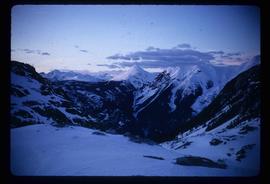
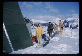
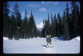
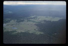
Image depicts the Place Glacier.
Image depicts the Place Glacier. There are two unknown individuals present.
Image depicts an unknown individual at the Place Glacier.
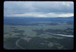
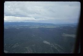
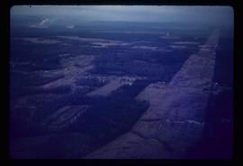
Image depicts an aerial view of a plateau near the Fraser River.
Image depicts an aerial view of a plateau near the Fraser River.
Image depicts an aerial view of a plateau near the Fraser River.
Image depicts a totem pole and a playground in what appears to be a residential area somewhere on Haida Gwaii, B.C.
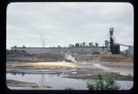
Image depicts a pulp mill in Port Edward, B.C.
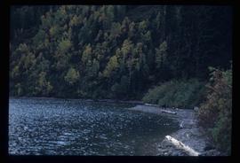
Image depicts the North end of Portage Lake.
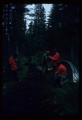
Image depicts the canoe group portaging to Indianpoint Lake.
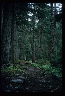
Image depicts the path taken during the portage to McCleary Lake.
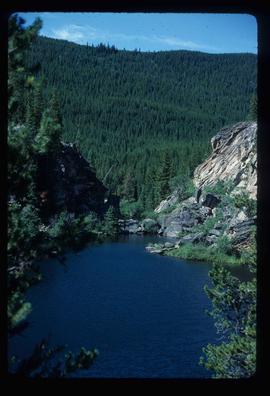
Image depicts Portal Lake, located near the Yellowhead Pass on the British Columbia-Alberta border, west of Jasper, A.B.
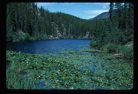
Image depicts numerous lily pads on the surface of Portal Lake, located near the Yellowhead Pass on the British Columbia-Alberta border, west of Jasper, A.B.
Image depicts power lines east of the pulp mills in Prince George, B.C.
Previous site of sawmill in Giscome, B.C. looking northwest. Map coordinates 54°04'19.7"N 122°22'04.7"W
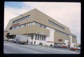
Image depicts the Pride O' the North shopping mall in Prince Rupert, B.C.
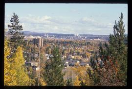
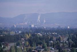
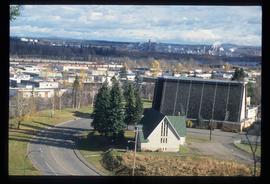
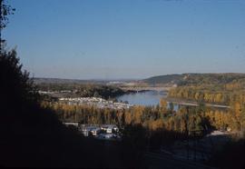
Image depicts Prince George, possibly with the Northwood Pulpmill in the background.
Image depicts Prince George, possibly with the Northwood Pulpmill in the background.
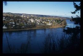
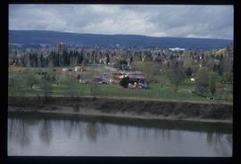
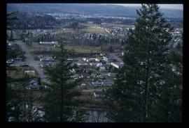
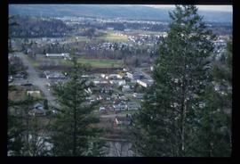
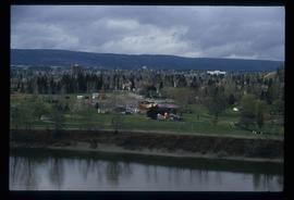
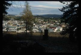
Image depicts a view of Prince George from an uncertain location.
Image depicts a view of Prince George.
Image depicts a view of Prince George.
Image depicts a view of Prince George.
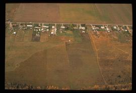
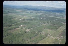
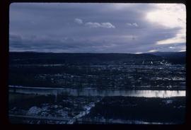
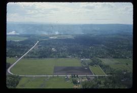
Image depicts an aerial view of what is possibly an outlying area of Prince George, B.C.
Image depicts a view of Prince George.
Image depicts Prince George, possibly with the Northwood Pulpmill in the background.
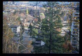
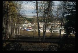
Image depicts Prince George with numerous trees obscuring most of the view.
Image depicts Prince George.
Image depicts a view of Prince George.
Image depicts a sawmill in Prince George, B.C.
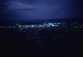
Image depicts Prince George at night from the cutbanks.
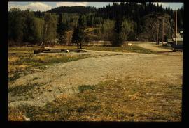
Image depicts a clearing in Prince George, B.C.
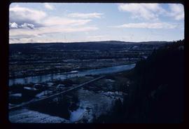
Image depicts Prince George from the view of Peden Hill.
Image depicts a view of Prince George from the cutbanks.
Image depicts a view of Prince George from the cutbanks on the Nechako river.
Image depicts a Prince George residential area from the viewpoint of the Ginter Property.
Image depicts a Prince George residential area from the viewpoint of the Ginter Property.
Image depicts Prince George near the Airport Road.
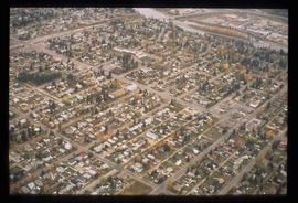
Image depicts an aerial view of a Prince George residential section between Highway 97, Carney Street and 10th Ave looking north. Map coordinates 53°54'54.0"N 122°46'00.4"W
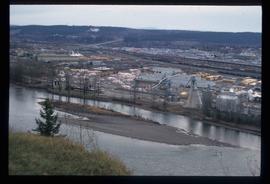
Image depicts Prince George Sawmill taken from across the Nechako River looking southwest. Map coordinates 53°56'00.0"N 122°44'29.7"W
Image depicts Prince George Sawmill taken from across the Nechako River looking southwest. Map coordinates 53°56'00.0"N 122°44'29.7"W
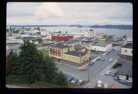
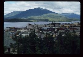
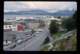
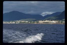
Image depicts a view of Prince Rupert, B.C.
Image depicts a view of Prince Rupert, B.C.
Image depicts a view of Prince Rupert, B.C.
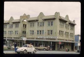
Image depicts the Bank of Nova Scotia located on "Besner Block" in Prince Rupert, B.C.
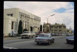
Image depicts the City Hall of Prince Rupert, B.C.
Image depicts a view of the downtown core of Prince Rupert, B.C.
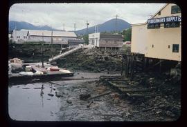
Image depicts numerous buildings and a small dock somewhere in Prince Rupert, B.C. One of the buildings is labelled "Fishermen's Supply."
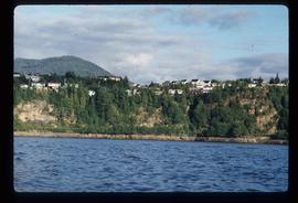
Image depicts numerous houses on the cliff-sides in Prince Rupert, B.C.
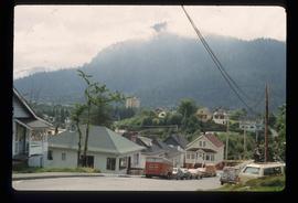
Image depicts numerous houses in Prince Rupert, B.C.
Image depicts several houses in Prince Rupert, B.C.
