The item is a photograph of Gundy's News and an empty commercial building on 3rd Avenue in Prince George.
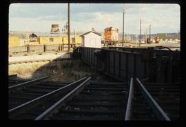
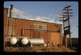
The photograph depicts the Grand Trunk Pacific Railyard roundhouse and water tower in Prince George, B. C. Reverse side of photograph states, "Photo Credit: Fort George Museum." Reproduction from [192-?].
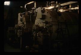
Image depicts machinery in the GTP roundhouse in Prince George, B.C.
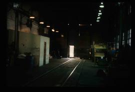
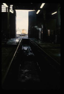
Image depicts the interior of the GTP roundhouse in Prince George, B.C.
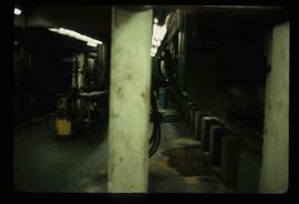
Image depicts the interior of the GTP roundhouse in Prince George, B.C.
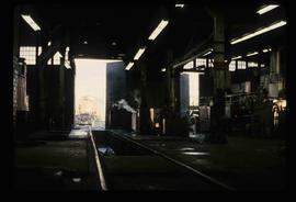
Image depicts the interior of the GTP roundhouse in Prince George, B.C.
Image depicts the interior of the GTP roundhouse in Prince George, B.C.
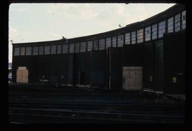
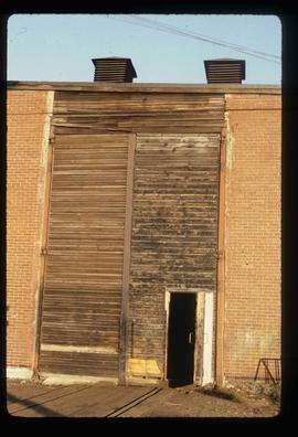
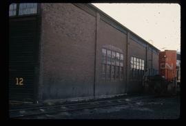
Image depicts the Grand Trunk Pacific railway roundhouse in Prince George, B.C.
Image depicts the Grand Trunk Pacific railway roundhouse in Prince George, B.C.
Image depicts the GTP roundhouse in Prince George, B.C.
Image depicts the GTP roundhouse in Prince George, B.C.
Image depicts the Grand Trunk Pacific railway roundhouse in Prince George, B.C.
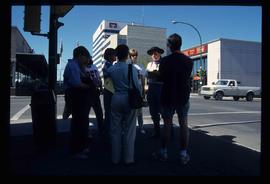
Image depicts a group of individuals standing on the corner of 3rd Ave in Prince George, B.C.
The photograph depicts seven men and women on the railway turntable at the CN Railyard in Prince George, B.C. Reproduction of photograph from 1984.
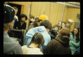
Image depicts a large group of people in a room at an uncertain location in the Peace River Region.
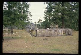
Image depicts a small graveyard at an uncertain location.
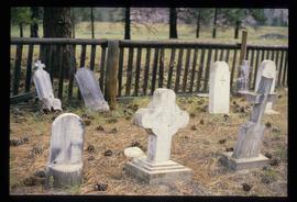
Image depicts numerous grave markers at an uncertain location.
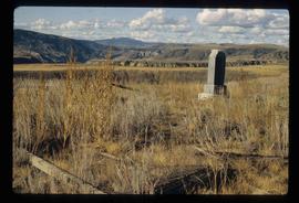
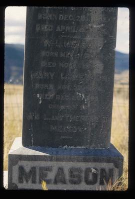
Image depicts the grave of W.L. Meason in the upper Fraser Canyon.
Image depicts the grave of W.L. Meason in the upper Fraser Canyon.
Image depicts Grassy Plains, B.C.
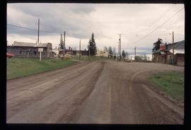
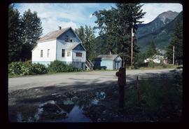
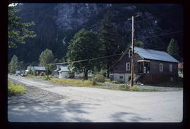
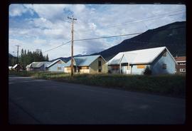
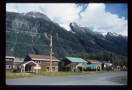
Image depicts an example of "typical housing" in Granduc, near the Granduc Mine and located north of Stewart, B.C.
Image depicts housing in Granduc, near the Granduc Mine and located north of Stewart, B.C.
Image depicts a row of boarded up houses in Granduc, near the Granduc Mine and located north of Stewart, B.C.
Image depicts a row of houses in Granduc, near the Granduc Mine and located north of Stewart, B.C.
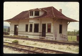
The photograph depicts an old Grand Trunk Pacific train station West of Entwistle on Highway 16 West. The station is white with a brown roof and brick chimney. Annotation on reverse side of photograph states, "6 km west from Entwistle on the south side of HWY 16 W, Alberta, 2001-04-17."
The photograph depicts an old Grand Trunk Pacific train station on Highway 16, West of Edmonton. The train station is white with a dark roof. Annotation on reverse side of photograph states, "on HWY #16, West of Edmonton 1991-04-16."
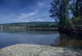
Image depicts the Fraser River and the Grand Trunk Pacific Bridge from Cottonwood Island Park.
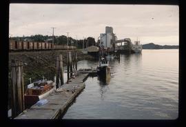
Image depicts a large vessel docked at a grain elevator and two smaller boats at a dock in the foreground somewhere in Prince Rupert, B.C.
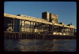
Image depicts a grain elevator in Prince Rupert, B.C.
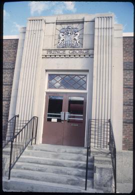
The item is a photograph of of the Government of Canada service office on 3rd Avenue in Prince George.
Image depicts the Canadian Forces Recruiting Centre on the north side of 3rd Ave in Prince George, B.C.
The item is a photograph of Gold Mine Pawn Shop and an unknown commercial building on 3rd Avenue in Prince George.
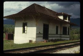
Image depicts the old Goat River Train Station in Goat River, B.C.
The photograph depicts the Goat River railway station next to twinned rails. The station is abandoned with missing doors and windows. Annotation on card states, "GOAT RIVER RAILWAY STATION." Photograph is a reproduction from [ca. 1978].
The photograph depicts the Goat River railway station next to twinned rails. The station is abandoned with missing doors and windows. Annotation on reverse side of photograph states, "Goat River GTP Station c. 1978 maybe 1982. photo by J. Kent Sedgwick." The statement, "Geo Info Services" is crossed out. Photograph is a reproduction from [ca. 1978].
The photograph depicts the Goat River railway station next to twinned rails. The station is abandoned with missing doors and windows. The number 4 is written on the photograph in marker and circled. Annotation on reverse side of photograph states, "Photo Credit J. K. Sedgwick Goat River, c. 1978."
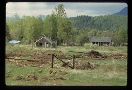
Image depicts a set of rail road tracks and an old, collapsing log building somewhere in Goat River, B.C.
Image depicts an old, collapsing log building somewhere in Goat River, B.C.
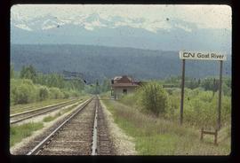
Image depicts the CN Railway and Station at Goat River, B.C.
Image depicts the CN Railway and Station at Goat River, B.C.
Image depicts a cabin and several sheds somewhere in Goat River, B.C.
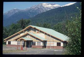
Image depicts the Gitwinksihlkw Elementary School in Gitwinksihlkw, B.C.
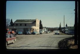
Image depicts a street in Giscome B.C. The Giscome Store is located on the left side of the image with the church in the background. Map coordinates 54°04'18.5"N 122°21'57.7"W
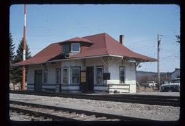
Image depicts the old Giscome Train Station in Giscome, B.C. It was demolished between 1976 and 1977.
Image depicts the Giscome mill site in Giscome, B.C. The bunkhouse is in the background on the left and the school is in the foreground on the right. Map coordinates 54°04'04.8"N 122°22'04.7"W
Image depicts the Giscome mill site in Giscome, B.C. The bunkhouse is no longer there and the school is in the foreground on the right. Map coordinates 54°04'04.8"N 122°22'04.7"W
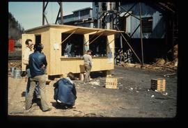
Image depicts a food stand at the mill site at Giscome, B.C. Map coordinates 54°04'19.7"N 122°22'04.7"W
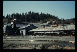
Image depicts the mill site at Giscome, B.C. Map coordinates 54°04'19.7"N 122°22'04.7"W
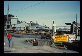
Image depicts the mill site at Giscome, B.C. A sign in the foreground reads "Maynard's Industrial Auctioneers." Map coordinates 54°04'19.7"N 122°22'04.7"W
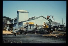
Image depicts the mill site at Giscome, B.C. Map coordinates 54°04'19.7"N 122°22'04.7"W
