The item is a photograph slide reproduction depicting the raised floodwaters on the Fraser River. There are two dogs playing in the river and a bridge in the background.
The item is a photograph slide reproduction depicting the raised floodwaters on the Fraser River.
The item is a photograph slide reproduction depicting the raised floodwaters on the Fraser River with a bridge in the background.
The item is a photograph slide reproduction depicting the raised floodwaters on the Nechako River.
The item is a photograph slide reproduction depicting the raised floodwaters on the Nechako River.
The item is a photograph slide reproduction depicting the raised floodwaters on the Nechako River.
The item is a photograph slide reproduction depicting the raised floodwaters on the Nechako River.
The item is a photograph slide reproduction depicting the raised floodwaters on the Nechako River.
The item is a photograph slide reproduction depicting the raised floodwaters on the Nechako River.
The item is a photograph slide reproduction depicting the raised floodwaters on the Nechako River.
The item is a blueprint depicting proposed floor extensions for Walter Blaufuss. Plans are for Northern Upholstery on the ground floor and a residential penthouse above the commercial space. Building address was 535 Dominion Street, Prince George. The architect is W. Ralph Brownlee and drawn by E. O. E. Blueprints indicate it is designated as "job 5304" and "sheet W.2."
The item is a photograph of white and pink flowers in a garden or field, believed to be on 3rd Avenue in Prince George.
The item is a photograph of white and pink flowers in a garden or field, believed to be on 3rd Avenue in Prince George.
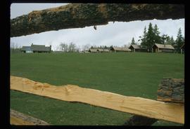
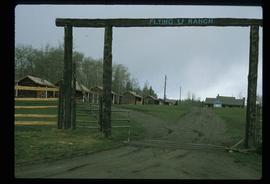
Image depicts the Flying U Ranch at 70 Mile House, B.C.
Image depicts the Flying U Ranch at 70 Mile House, B.C.
The item is a photograph reproduction depicting the community of Foley's Cache from on top of a hill.
The item is a photographic reprint from 1913 depicting houses in the Foley's Cache area.
The item is a photograph reproduction depicting the community of Foley's Cache from on top of a hill.
The item is a photograph reproduction of the Foley's Cache docks from 1913.
The item is a photograph reproduction depicting the hospital at Foley's Cache.
The item is a photograph depicting the plaque containing information on the history of Foley's Cache.
The item is a photograph depicting an plaque with information about the history of Foley's Cache.
The item is a photograph reproduction depicting men logging alongside the river at Foley's Cache.
The item is a photograph reproduction depicting a group of men logging alongside the river at Foley's Cache.
The item is a photograph depicting foliage on the street corner across 1414 Ash Street, Prince George, BC.
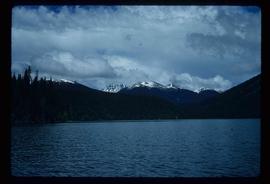
Image depicts the foot of Indianpoint Lake.
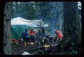
Image depicts a camp at the foot of Isaac Lake.
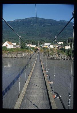
Image depicts a narrow footbridge suspended over a river at an uncertain location.
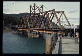
Image depicts what appears to be a footbridge at an uncertain location.
Image depicts an esker at the Foothills Boulevard in Prince George, B.C.
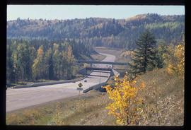
Image depicts the Foothills Bridge over the Nechako river on the Foothills Boulevard in Prince George, B.C. Map coordinates 53°56'52.5"N 122°48'59.9"W
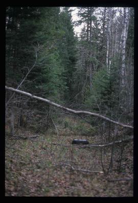
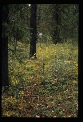
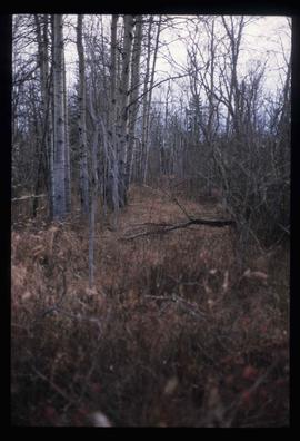
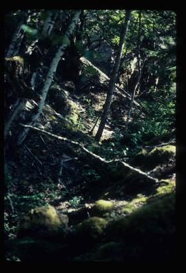
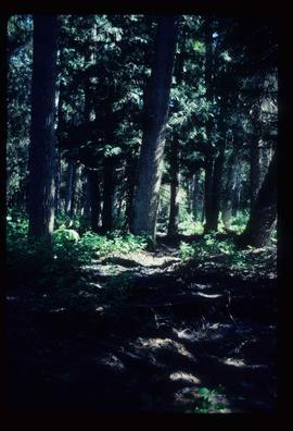
Image depicts a forest, possibly somewhere near Woodpecker, B.C.
Image depicts a few unknown individuals walking through the forest at Cheslatta.
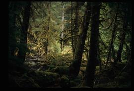
Image depicts a forest somewhere on Haida Gwaii.
Image depicts a forest somewhere on Haida Gwaii.
Image depicts a forest, possibly somewhere near Woodpecker, B.C.
Image depicts a view of the forest in the Fort George Canyon Provincial Park, B.C.
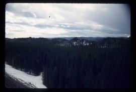
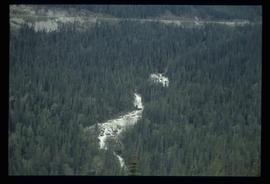
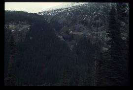
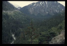
Image depicts a view of a forest and river somewhere along the White Pass railway. The thin line in the mountain side is possibly a highway.
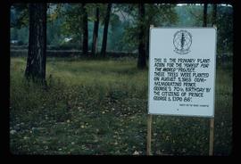
Image depicts a group of trees in the Cottonwood Park, with a sign which reads: "This is the primary plantation for the 'Forest for the World' project. These trees were planted on August 5, 1985, commemorating Prince George's 70th birthday by the citizens of Prince George & Expo 86'."
Image depicts a forested area located somewhere near the Tseax Lava Flow.
Image depicts a forested area located somewhere near the Tseax Lava Flow.
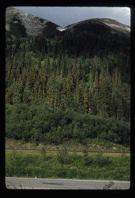
Image depicts a forested mountain side somewhere near Murray Ridge.
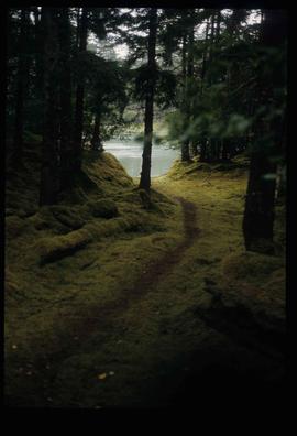
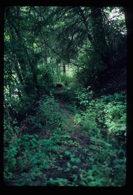
Image depicts a trail through the forest somewhere on Haida Gwaii.
Image depicts a trail through the forest somewhere in or near Seton Portage, B.C.
The item is a photograph depicting a forest West of Osprey Rd. in BC. Annotation on the reverse side of the photograph states, "W. of Osprey Rd."
Image depicts a forested mountain side somewhere along the White Pass railway. The thin ridge along the mountain side is possibly either a highway or part of the railway.
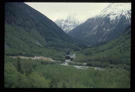
Image depicts a view of a forested, mountainous area and a river, somewhere along the White Pass railway. The slide is labelled "begin climb," suggesting the image was taken at the beginning of the White Pass Train's ascent into the mountains.
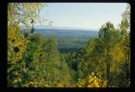
Image depicts a view of a forested valley in the mountains somewhere along the White Pass railway.
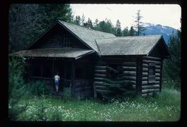
Image depicts a forestry cabin located in Tête Jaune Cache, B.C.
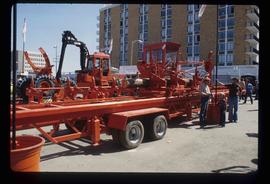
Image depicts several pieces of heavy machinery used in forestry. The Coast Inn of the North is seen in the background.
