2012.13.1.53.51
·
Item
·
July 1982
Part of J. Kent Sedgwick fonds
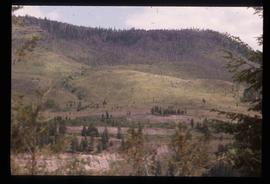
Image depicts an old earth flow somewhere near Pavilion, B.C.