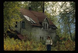
Image depicts Sue Sedgwick standing in front of an old, run-down house somewhere in or near Penny, B.C.
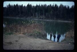
Image depicts four unidentified individuals standing on the bank of a river, possibly the Fraser, somewhere in or near Penny, B.C.
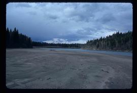
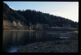
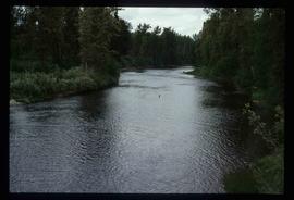
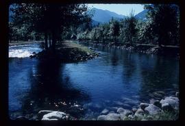
Image depicts a river, possibly the Fraser, near Penny, B.C.
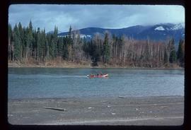
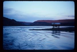
Image depicts a red boat on a river, possibly the Fraser, near Penny, B.C.
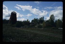
Image depicts a beehive burner somewhere in or near Penny, B.C.
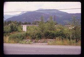
Image depicts the condominiums in the "Pemberton Valley Estates" in Pemberton, B.C.
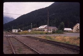
Image depicts rail road tracks and several buildings in Pemberton, B.C.
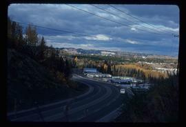
Image depicts a view of Peden Hill in Prince George, B.C.
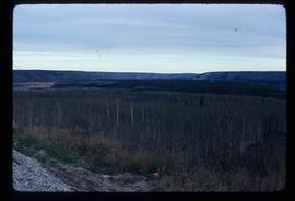
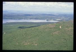
Image depicts a section of forest located somewhere in the Peace River Regional District of B.C.
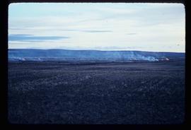
Image depicts grass burning at an uncertain location in the Peace River Region.
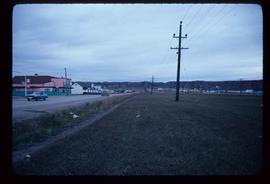
Image depicts a street of shops at an uncertain location somewhere in the Peace River Regional District. A pink and blue building, possibly a theatre, is labelled "Lux."
Image depicts the W.A.C. Bennett Dam on the Peace River in Hudson's Hope, B.C.
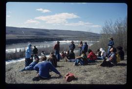
Image depicts a large group of unidentified individuals sitting on a hill; what is possibly the Peace River is visible in the background.
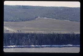
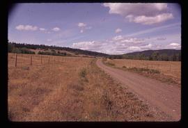
Image depicts what is possibly the Peace River running next to some farm land at an uncertain location.
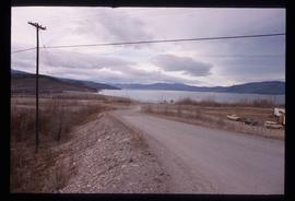
Image depicts a dam and a reservoir of water, possibly on the Peace River.
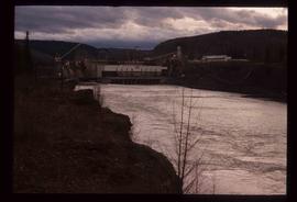
Image depicts a dam, possibly on the Peace River.
Image depicts a dam on what is possibly the Peace River.
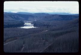
Image depicts the Peace River, possibly near Clayhurst or Hudson's Hope, B.C.
Image depicts the Peace River, possibly near Clayhurst or Hudson's Hope, B.C.
Image depicts what is possibly the Peace River.
Image depicts what is possibly the Peace River.
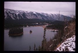
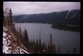
Image depicts a river, possibly the Peace River.
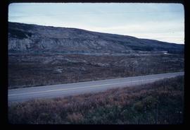
Image depicts what is possibly the Peace River running parallel to a road, possibly Highway 29.
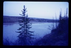
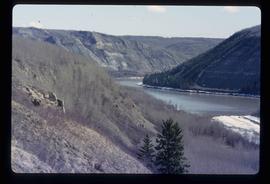
Image depicts the Peace River.
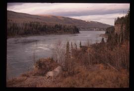
Image depicts the Peace River.
Image depicts the Peace River.
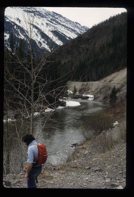
Image depicts the Peace River, possibly near Hudson's Hope, B.C.
Image depicts the Peace River.
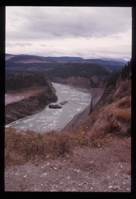
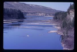
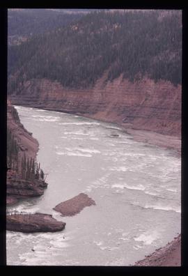
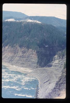
Image depicts the Peace River and visible layers of sediment deposits in the surrounding cliffs.
Image depicts the Peace River, possibly somewhere near Fort St. John, B.C.
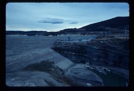
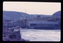
Image depicts the Peace Canyon Dam and generating station under construction on the Peace River.
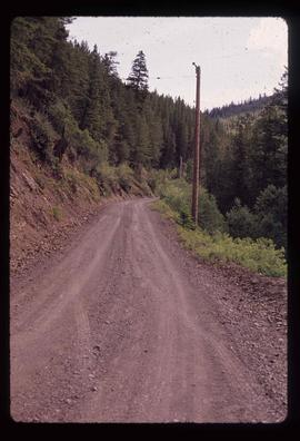
Image depicts the road to Pavilion Mountain.
Image depicts the road to Pavilion Mountain.
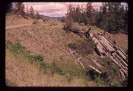
Image depicts the remains of an old bridge, somewhere near Pavilion Mountain.
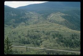
Image depicts an old earth flow somewhere near Pavilion, B.C.
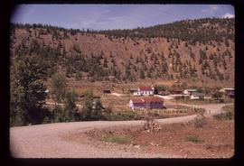
Image depicts the First Nations village of Pavilion, B.C.
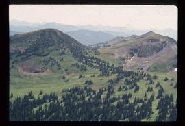
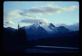
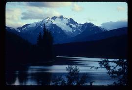
Image depicts a view of a valley; the slide itself labels the image in two places, "central basin" on the left side of the image, and "Pat's Pass" on the top of the image between the two mountains.
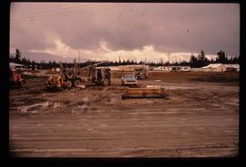
Image depicts several eighteen wheelers at the Pass Lake Road and Upper Fraser Road intersection with numerous houses and buildings in the background in McGregor, B.C. Map coordinates 54°04'38.1"N 121°50'00.1"W
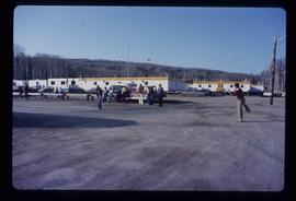
Image depicts a group of people throwing a frisbee in a parking lot at an uncertain location, likely in the Peace River Region.
Image depicts the Fraser River at Paddlewheel park, with a train on the other side of the river, in Prince George B.C.
Image depicts the Fraser River at Paddlewheel park, with a train on the other side of the river, in Prince George B.C.
Image depicts the Pack River outlet at McLeod Lake.
Image depicts a view over Tabor Mountain.
Image depicts the north aspect of Oscar Peak overlooking Lava Lake in the Nass Valley.
Image depicts the north aspect of Oscar Peak overlooking Lava Lake in the Nass Valley.
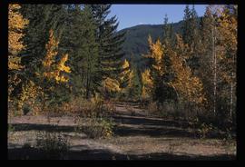
Image depicts an old road through the trees near Yellowhead Pass. The slide labels it as the origin of the Yellowhead highway.
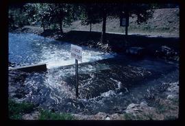
Image depicts water flowing through an irrigation channel in an orchard, somewhere in or near Seton Portage, B.C. There is a sign which reads: "Danger Keep out."
Image depicts water flowing through an irrigation channel in an orchard, somewhere in or near Seton Portage, B.C.
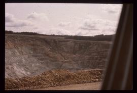
Image depicts an open mining pit at an uncertain location; it is possibly Gibraltar.
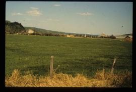
Image depicts a field in Giscome, B.C. On the right side of the image, in the background, is a grey strip that appears to be a mine, possibly the quarry at Eaglet Lake in Giscome, B.C. Map coordinates 54°03'52.9"N 122°22'10.0"W
