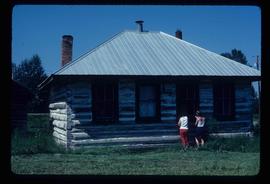
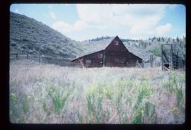
2012.13.1.78.34
·
Item
·
1982
Part of J. Kent Sedgwick fonds
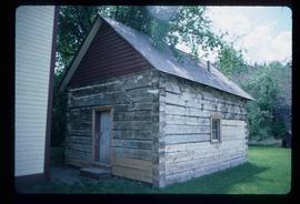
Image depicts a house with some Firts Nations' art painted on the front, somewhere on Haida Gwaii, B.C.