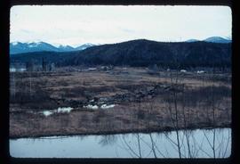
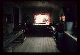
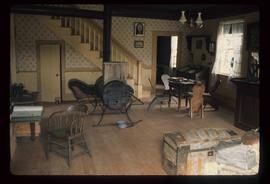
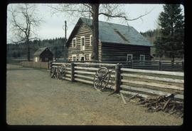
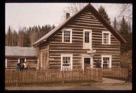
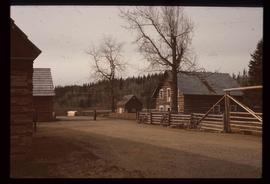
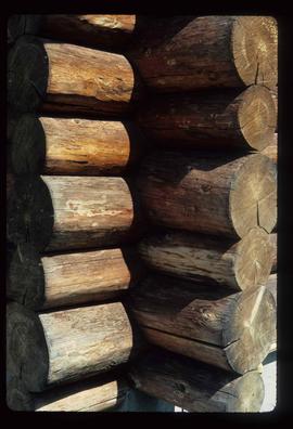
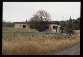
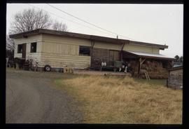
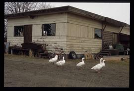
Image depicts a row of houses and the side of a train in Crescent Spur, B.C.
Image depicts the railway running near Crescent Spur in the Rocky Mountain Trench.
Image depicts what appears to be a small mill in the community of Crescent Spur, B.C.
Image depicts a church school in the community of Crescent Spur, B.C.
Image depicts a beehive burner in the community of Crescent Spur, B.C.
Image depicts the community of Crescent Spur, B.C.
Image depicts a creek near Quesnelle Forks, B.C.
Image depicts a creek near Iron Road North, north of Woodpecker, B.C.
The item is a photograph depicting the front and side of the log Cranbrook Mills schoolhouse. Building is weathered with a sagging roof and collapsing wall.
The item is a photograph depicting the front and side of the log Cranbrook Mills schoolhouse. Building is weathered with a sagging roof and collapsing wall. Annotation on reverse side of photograph states, "Cranbrook Mills, Cranbrook Hill School. Courtesy: Kent Sedgwick. 215."
The item is a photograph depicting the front and side of the log Cranbrook Mills schoolhouse. Building is weathered with a sagging roof.
The item is a photograph depicting the front of the log Cranbrook Mills schoolhouse. Building is weathered.
The item is a photograph depicting the front of the log Cranbrook Mills schoolhouse. Building is weathered. Annotation on reverse side of photograph states, "Kodak Gold 200."
The item is a photograph depicting the front and side of the log Cranbrook Mills schoolhouse. Building is weathered with a sagging roof and collapsing wall.
The item is a photograph depicting the front of the log Cranbrook Mills schoolhouse. Building is weathered.
Image depicts an old, collapsing cabin at an uncertain location; possibly Woodpecker B.C.
The item is a photograph negative of a man and woman sitting in front of a house. They are dressed in formal attire and are drinking what appears to be a glass of wine.
Image depicts a the Cottonwood Island Nature Park sign and map in Prince George, B.C.
Image depicts Elmer Mercier, a former mayor of Prince George, B.C., cutting the ribbon to open Cottonwood Park's Heritage Trail.
Image depicts a crowd of people in Cottonwood Park in Prince George, B.C.
Image depicts a nature trail in Cottonwood Island Park by a beehive burner. Map coordinates 53°55'23.6"N 122°43'53.8"W
Image depicts a couple walking through a nature trail in Cottonwood Island Park. Map coordinates 53°55'23.6"N 122°43'53.8"W
Image depicts Cottonwood Island.
Image depicts the picnic site of the Cottonwood House Historic Site, located on the Barkerville Highway, east of Quesnel, B.C.
Image depicts the kitchen area of the interior of the Cottonwood House.
Image depicts the living area of the interior of the Cottonwood House.
Image depicts the Cottonwood House at the Historic Site located in Barkerville, B.C.
Image depicts the Cottonwood House.
Image depicts the Cottonwood House Historic Site along Barkerville Highway, east of Quesnel, B.C. A sign posted by the fence reads: "For over half a century the Boyd family operated this haven for man and beast. Here weary travellers found lodging, food, and drink. Here fresh horses were hitched to stage-coaches and miners bought supplies. This historic road-house, built in 1864, stood as an oasis of civilization on the frontier of a rich new land."
Image depicts the Cottonwood House.
Image depicts a section of the Heritage Trail on Cottonwood Island in Prince George, B.C.
Image depicts the Cottonwood Canyon.
Image depicts a view of a river from the Cottonwood Bridge.
Image depicts a forest; the image is possibly taken from somewhere near the Cottonwood Rail Road Bridge.
Image depicts a rail road bridge, possibly the Cottonwood Bridge, at an uncertain location.
Image depicts the Cottonwood Bridge.
Image depicts the corner of a log house, the slide itself labels the picture as being from Barkerville, B.C. and also indicates the corner is an example of a "round log" dovetail joint.
Image depicts the corner of a log house at an unknown location.
Image depicts a cookhouse at Sinclair Mills, B.C.
Image depicts a cookhouse at an uncertain location.