2012.13.1.135.5.03
·
Item
·
2010
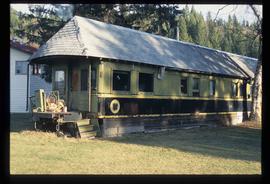
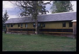
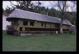
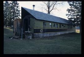
Part of J. Kent Sedgwick fonds
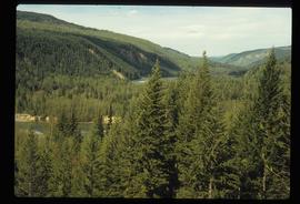
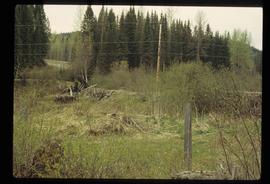
Photograph depicts a section of railway trackage, presumed to be located within or nearby Sinclair Mills, BC. There is a man on the other side of the railway tracks.