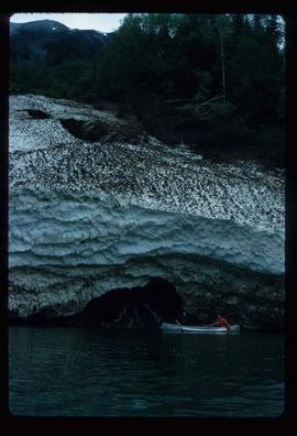
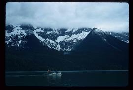
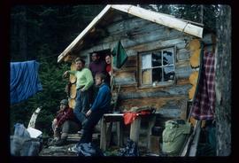
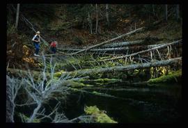
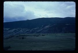
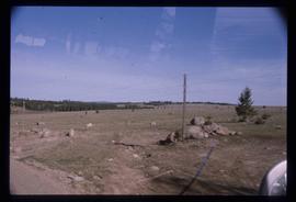
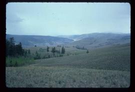
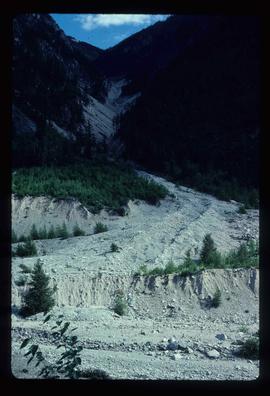
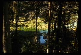
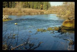
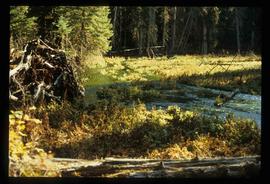
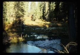
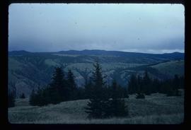
Image depicts a view of the landscape of the Chilcotin Wildlife Area.
Image depicts a view of the landscape in an uncertain location.
Image depicts an aerial view of a landscape at an uncertain location.
Image depicts an aerial view of the land near the Fraser River. The Fraser River is barely visible on the right side of the image.
Image depicts an aerial view of the land near the Fraser River.
Image depicts a view of a mountainous landscape, possibly near the Fraser River.
Image depicts the rolling hills of the Chilcotin Wildlife Area.
Image depicts what is possibly the remaining traces of a small land or rock slide; located somewhere near Bralorne, B.C.
Image depicts the snow still remaining from an avalanche at Lanezi Lake. Two people are also seen canoeing on the lake.
Image depicts a cirque in the mountains surrounding Lanezi Lake. Two individuals can also be seen canoeing on the lake.
Image depicts the canoe group at the Turner Creek Cabin by Lanezi Lake.
Image depicts a large building with numerous vehicles in the foreground.
Image depicts a formation of rock; presumably solidified lava, as the slide is simply labelled "lava." The location of the image is uncertain.
Image depicts numerous boats docked by the Prince Rupert Fishermen's Co-operative Association from the deck of a ferry, possibly as it's leaving Prince Rupert, most likely for Haida Gwaii.
Image depicts several individuals seated on a ferry as it possibly departs from a dock somewhere in Prince Rupert, B.C. It is most likely headed for Haida Gwaii, B.C.
Image depicts a view of the Fraser Lake from Lejac, B.C.
Image depicts the BCR station in Leo Creek, B.C.
Image depicts a few piles of culverts in Leo Creek, B.C.
Image depicts a building, possibly an office building, next to a set of rail road tracks in Leo Creek, B.C. An unknown individual is present, and a number of barrels and culverts are visible in the foreground.
Image depicts the Lheidli T'enneh Burial Grounds in Fort George Park.
Image depicts a bridge, and the town of Likely on the the other side of a river.
Image depicts a view of Lillooet, B.C.
Image depicts two bridges over the Fraser River, located somewhere in Lillooet, B.C.
Image depicts some farmland in Lillooet, B.C.
Image depicts rows of water, possibly being irrigation ditches, somewhere in Lillooet, B.C.
Image depicts a view of the mountains surrounding Lillooet, B.C.
Image depicts a view of the Fraser River and the mountains surrounding Lillooet, B.C.
Image depicts an area around Lillooet, B.C. It is possibly the Fraser River running through the Moran Canyon.
Image depicts the Lillooet River at the head of Lillooet Lake.
Image depicts the Lillooet River delta at the head of Lillooet Lake.
Image depicts what is possibly the Lillooet River, full of driftwood.
Image depicts numerous fallen trees and two unknown individuals somewhere in the Crooked River Provincial Park, near the Livingston Springs.
Image depicts the Livingston Springs in the Crooked River Provincial Park.
Image depicts the Livingston Springs in the Crooked River Provincial Park, with an unknown individual present.
Image depicts a log cabin and an orange truck somewhere in or near Longworth, B.C.
Image depicts an area undergoing logging somewhere in Prince George, B.C.
Image depicts a logging area somewhere near Prince George, B.C.
Image depicts numerous piles of logs, and two unidentified individuals operating an excavator with a "thumb" attachment during the demolition of the Upper Fraser town site. Map coordinates 54°06'51.6"N 121°56'26.3"W
Image depicts a pile of old logs on the bank of the Fraser River with mountains in the background. In the foreground, a set of railway tracks run through an uncertain location, likely Upper Fraser, B.C.