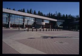
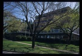
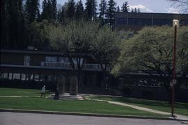
Image depicts the Prince George Civic Centre.
The photograph of the map depicts a map of Prince George, BC with the location of eleven buildings as points of interest and the years they were built. Areas covered on the map are South of the Nechako River, East of the Fraser River, North of Bowser Street, and West of Fraser Street. All street names are written on their specific roads.
The photograph of the map depicts a map of Prince George, BC with the location of eleven buildings as points of interest and the years they were built. Areas covered on the map are South of the Nechako River, East of the Fraser River, North of Bowser Street, and West of Fraser Street. All street names are written on their specific roads.
The item is a photograph of a photograph depicting Prince George's City Hall circa. 1922 including an approximately 120 word write up describing its history. The building is approximately two stories high. There is an artillery cannon next to the building. A reflection of the photographer is barely visible in the photograph.
The item is a photograph of a photograph depicting Prince George's City Hall circa. 1922 including an approximately 120 word write up describing its history. The building is approximately two stories high. There is an artillery cannon next to the building. A reflection of the photographer is barely visible in the photograph.
The item is a photograph of a photograph depicting Prince George's City Hall circa. 1922 including an approximately 120 word write up describing its history. The building is approximately two stories high. There is an artillery cannon next to the building. A reflection of the photographer is barely visible in the photograph.
Image depicts City Hall in Prince George, B.C.
Image depicts Prince George City Hall. Map coordinates 53°54'46.3"N 122°44'41.9"W
The item is a photograph of a photograph depicting Prince George's City Hall circa. 1922 including an approximately 120 word write up describing its history. The building is approximately two stories high. There is an artillery cannon next to the building. A reflection of the photographer is barely visible in the photograph.
The item is a photograph of a photograph depicting Prince George's City Hall circa. 1922 including an approximately 120 word write up describing its history. The building is approximately two stories high. There is an artillery cannon next to the building. A reflection of the photographer is barely visible in the photograph.
The item is a photograph of a photograph depicting Prince George's City Hall circa. 1922 including an approximately 120 word write up describing its history. The building is approximately two stories high. There is an artillery cannon next to the building. A reflection of the photographer is barely visible in the photograph.
The item is a photograph of Citi Financial and an empty commercial building on 3rd Avenue in Prince George. Scotiabank building is visible in the background.
The item is a photograph of the CIBC Banking Centre on 3rd Avenue in Prince George.
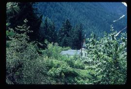
Image depicts a church on a hill somewhere in Seton Portage, B.C.
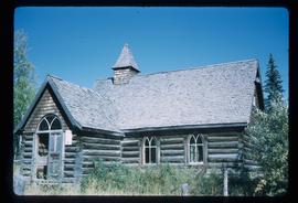
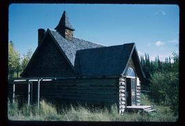
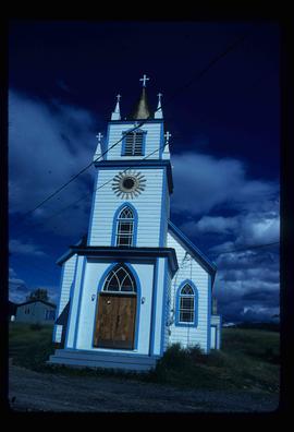
Image depicts a church located near Mapes, B.C.
Image depicts a church located near Mapes, B.C.
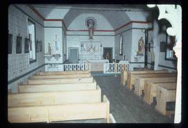
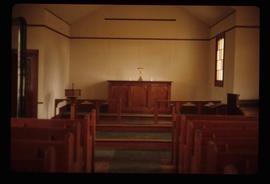
Image depicts the interior of a church, possibly one in or near Barkerville, B.C.
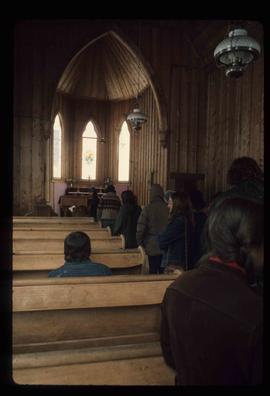
Image depicts the interior of a church, likely in Fort St. James, B.C.
Image depicts the interior of a church, most likely St. Mark's Anglican Church in Woodpecker, B.C.
Image depicts a church, somewhere between Hazelton and Hagwilget, B.C.
This item is a photograph of Dr. D. G. Wheatcroft Chiropractors, Happy Scrappers and the Law Office of Brian Gilson, George Leven, and Jason LeBlond.
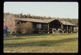
Image depicts the Chimney Lake Lodge.
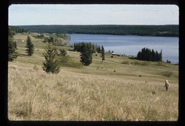
Image depicts Chimney lake with a number of houses near the shore, and a child in the foreground.
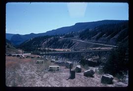
Image depicts a bridge over the Fraser River, located at Chimney Creek, somewhere south-west of Williams Lake, B.C.
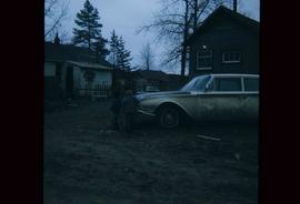
Image depicts two children standing near an old car in Island Cache.
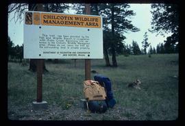
Image depicts a sign titled "Chilcotin Wildlife Management Area" somewhere near Riske Creek, B.C. It reads: "This trail has been provided by the Fish and Wildlife Branch in co-operation with Riske Creek Ranching Ltd., as access to the Chilcotin Wildlife Management Area. Please do not leave the the trail as the surrounding land is private property."
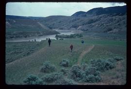
Image depicts a group of hikers hiking towards what is possibly the Chilcotin River.
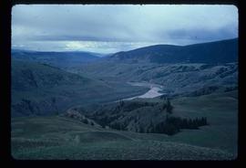
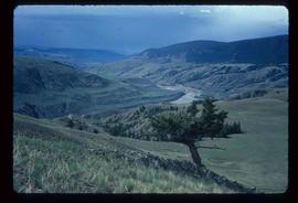
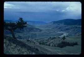
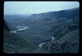
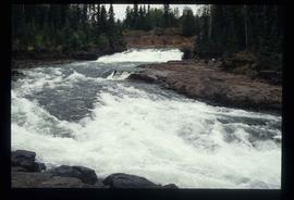
Image depicts what is possibly the Chilcotin River.
Image depicts what is possibly the Chilcotin River.
Image depicts what is possibly the Chilcotin River.
Image depicts what is possibly the Chilcotin River.
Image depicts what is possibly the Chilcotin River.
Image depicts a view of a train passing through an area of Chetwynd, B.C.
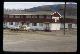
Image depicts a number of townhouses in Chetwynd, B.C.
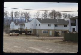
Image depicts a number of townhouses in Chetwynd, B.C.
Image depicts a view of a saw mill in Chetwynd, B.C.
Image depicts a view of a saw mill in Chetwynd, B.C.
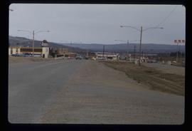
Image depicts several businesses in a small section of Chetwynd, B.C. There is a motor hotel and a half-visible sign for an Esso gas station.
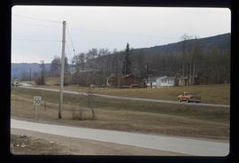
Image depicts several houses in Chetwynd, B.C.
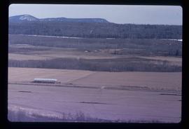
Image depicts a view of some farm land in Chetwynd, B.C.
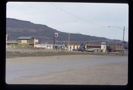
Image depicts a Chevron station as well as two motels in Chetwynd, B.C.
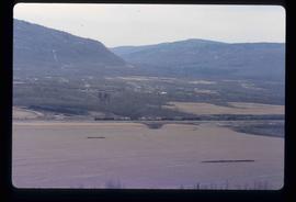
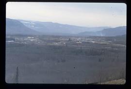
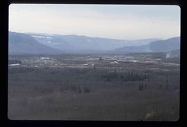
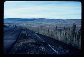
Image depicts a view of Chetwynd, possibly from Highway 97.
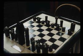
Image depicts an old, and seemingly incomplete chess set somewhere in Wells, B.C.
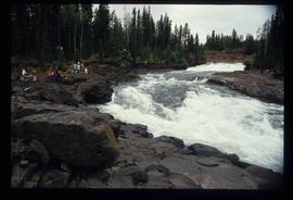
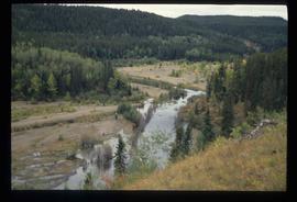
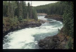
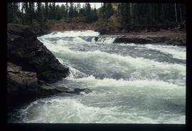
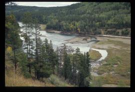
Image depicts the Cheslatta River.
Image depicts the Cheslatta River.
Image depicts the Cheslatta River.
Image depicts the Cheslatta River.
Image depicts the Cheslatta River.
Image depicts the Cheslatta River.
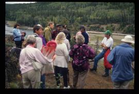
Image depicts what appears to be a tour group at Cheslatta.
