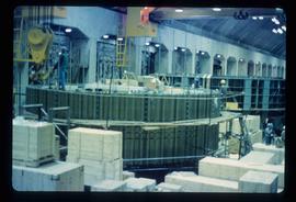
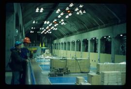
Image depicts numerous wood crates and large pieces of machinery in an unknown concrete structure, possibly somewhere in Fort St. John, B.C.
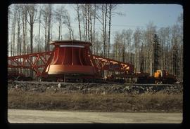
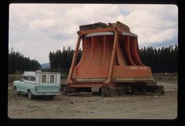
Image depicts a turbine on the back of an industrial vehicle, located somewhere in Fort St. John, B.C. The slide is labelled "Site one dam; turbine prop. (Russian.)"
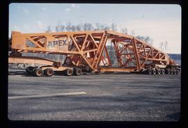
Image depicts a turbine on a large industrial vehicle somewhere in or near Fort St. John, B.C.
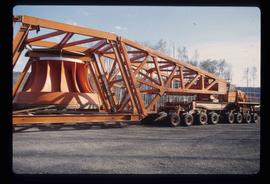
Image depicts a turbine on the back of an industrial vehicle, located somewhere in Fort St. John, B.C.
Image depicts an unknown individual standing next to a turbine located somewhere in Fort St. John, B.C.
Image depicts a turbine located somewhere in Fort St. John, B.C.
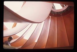
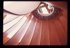
Image depicts an orange turbine in Fort St. John, B.C.
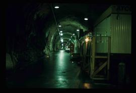
Image depicts a tunnel, possibly located somewhere in Fort St. John, B.C.
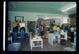
Image depicts the interior of a store, possibly in Fort St. John, B.C.
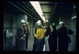
Image depicts a group of unidentified individuals wearing hard hats inside an unknown concrete structure, possibly located in Fort St. John, B.C.
Image depicts a group of unidentified individuals wearing hard hats inside an unknown concrete structure, possibly located in Fort St. John, B.C.
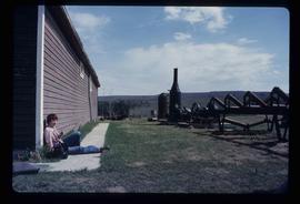
Image depicts numerous pieces of what appears to be old farming equipment. There is also an unidentified individual sitting aginst the side of a building. The location is possibly Fort St. John, B.C.
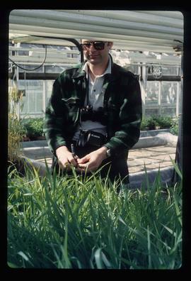
Image depicts an unidentified man in a greenhouse, possibly somewhere in Fort St. John, B.C.
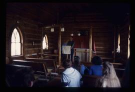
Image depicts several unidentified individuals inside of a church made from logs, possibly located in Fort St. John, B.C.
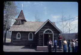
Image depicts several unidentified individuals exiting a church made of logs, possibly in Fort St. John, B.C.
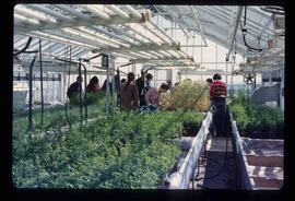
Image depicts a group of unidentified individuals in a greenhouse, possibly somewhere in Fort St. John, B.C.
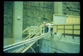
Image depicts two unidentified individuals in hard hats leaning against the railing of a large, open space inside an unknown concrete structure. It is possibly located in Fort St. John, B.C.
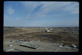
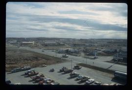
Image depicts a view of Fort St. John, B.C.
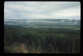
Image depicts an area of forests and fields somewhere near Fort St. John, B.C.
Image depicts a view of Fort St. John, B.C.
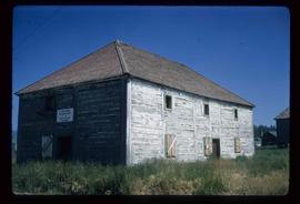
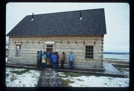
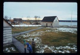
Image depicts the old Trading Outpost in Fort St. James, B.C.
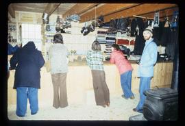
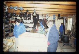
Image depicts the interior of the historic Hudson's Bay Company Trading Post, with several unknown individuals present, in Fort St. James, B.C.
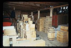
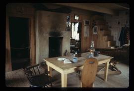
Image depicts the interior of the historic Hudson's Bay Company Trading Post in Fort St. James, B.C.
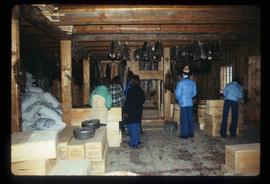
Image depicts the interior of the historic Hudson's Bay Company Trading Post, with several unknown individuals present, in Fort St. James, B.C.
Image depicts the interior of the historic Hudson's Bay Company Trading Post, with several unknown individuals present, in Fort St. James, B.C.
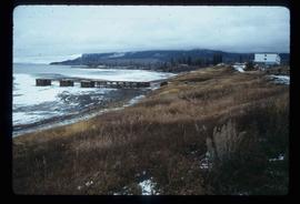
Image depicts a partially frozen lake, most likely Stuart Lake in Fort St. James, B.C.
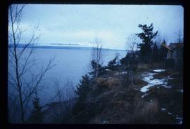
Image depicts a lake, possibly Stuart Lake in Fort St. James, B.C.
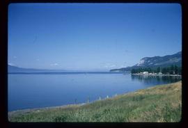
Image depicts Stuart Lake in Fort St. James, B.C.
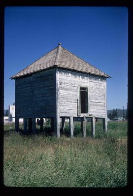
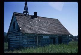
Image depicts an old shack on stilts in Fort St. James, B.C.
Image depicts the Hudson's Bay Company Trading Post at the historic site in Fort St. James, B.C.
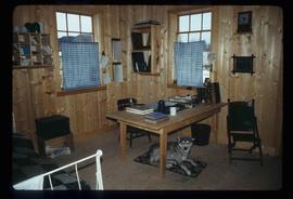
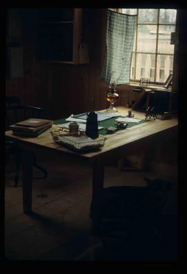
Image depicts the interior of the historic Hudson's Bay Company office in Fort St. James, B.C.
Image depicts the interior of the historic Hudson's Bay Company office in Fort St. James, B.C.
Image depicts the historic Hudson's Bay Company office in Fort St. James, B.C.
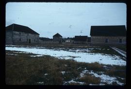
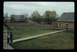
Image depicts the Hudson's Bay Company historic site in Fort St. James, B.C.
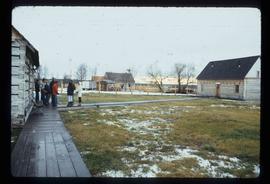
Image depicts the Hudson's Bay Company historic site in Fort St. James, B.C.
Image depicts the Hudson's Bay Company historic site in Fort St. James, B.C.
Image depicts the Hudson's Bay Company historic site in Fort St. James, B.C.
Image depicts the interior of a historic building in Fort St. James, B.C.
Image depicts a historic building in Fort St. James, B.C.
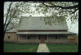
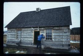
Image depicts an old log building in Fort St. James; the sign on it reads "Clerk's Living Quarters, Later Used as Fort St. James First School."
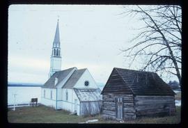
Image depicts a church in Fort St. James, B.C.
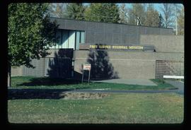
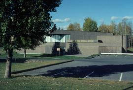
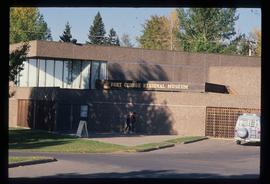
Image depicts the Fort George Regional Museum in Prince George, B.C.
Image depicts the Fort George Regional Museum (now known as The Exploration Place) in Prince George, B.C. Map coordinates 53°54'18.6"N 122°44'09.8"W
Image depicts the Fort George Regional Museum in Prince George, B.C. Map coordinates 53°54'18.6"N 122°44'09.8"W
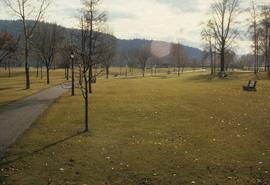
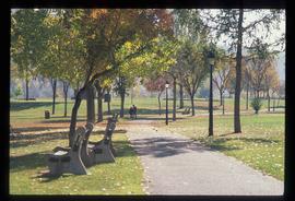
The item is a photograph looking at Fort George Park, now known as Lheidli T'enneh Memorial Park, from 17th Avenue, Prince George.
Image depicts the Fort George Park. Map coordinates 53°54'30.2"N 122°43'57.4"W
Image depicts the Fort George Par, which was renamed Lheidli T'enneh Memorial Park in 2015. Map coordinates 53°54'30.2"N 122°43'57.4"W
Image depicts an aerial view of Fort George Park.
The item is a photograph depicting Fort George Canyon and the Fraser River. Sticker on reverse side of photograph states, "Charlotte Air Box 2276 Prince George B.C. Canada V2N 2J8 Copyright."
The item is a photograph depicting Fort George Canyon and the Fraser River. Sticker on reverse side of photograph states, "Charlotte Air Box 2276 Prince George B.C. Canada V2N 2J8 Copyright."
