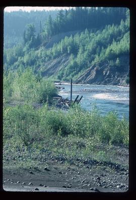
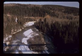
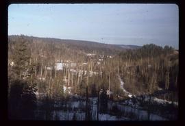
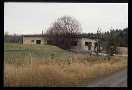
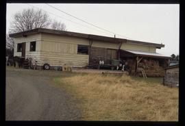
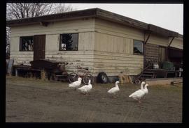
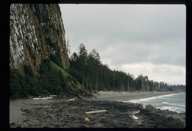
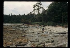
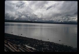
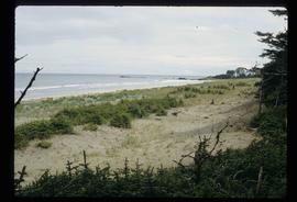
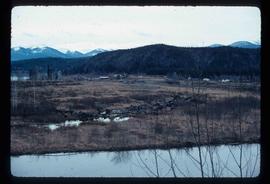
Image depicts the community of Crescent Spur, B.C.
Image depicts a creek near Quesnelle Forks, B.C.
Image depicts a creek near Iron Road North, north of Woodpecker, B.C.
Image depicts a the Cottonwood Island Nature Park sign and map in Prince George, B.C.
Image depicts Elmer Mercier, a former mayor of Prince George, B.C., cutting the ribbon to open Cottonwood Park's Heritage Trail.
Image depicts a crowd of people in Cottonwood Park in Prince George, B.C.
Image depicts Cottonwood Island.
Image depicts the picnic site of the Cottonwood House Historic Site, located on the Barkerville Highway, east of Quesnel, B.C.
Image depicts the Cottonwood House Historic Site along Barkerville Highway, east of Quesnel, B.C. A sign posted by the fence reads: "For over half a century the Boyd family operated this haven for man and beast. Here weary travellers found lodging, food, and drink. Here fresh horses were hitched to stage-coaches and miners bought supplies. This historic road-house, built in 1864, stood as an oasis of civilization on the frontier of a rich new land."
Image depicts a section of the Heritage Trail on Cottonwood Island in Prince George, B.C.
Image depicts the Cottonwood Canyon.
Image depicts a view of a river from the Cottonwood Bridge.
Image depicts a forest; the image is possibly taken from somewhere near the Cottonwood Rail Road Bridge.
Image depicts a rail road bridge, possibly the Cottonwood Bridge, at an uncertain location.
Image depicts the Cottonwood Bridge.
Image depicts a cookhouse at Sinclair Mills, B.C.
Image depicts a cookhouse at an uncertain location.
Image depicts a construction area somewhere in Tumbler Ridge, B.C.
Image depicts several unidentified concrete structures that are badly damaged and cracking, located on old mill site in Giscome, B.C. Map coordinates 54°04'18.0"N 122°22'04.7"W
Image depicts what appears to be a small community on the shore of a lake. The location is uncertain.
Image depicts a collapsing shack somewhere in the Seton Portage area.
Image depicts numerous trees in the coastal forest of Haida Gwaii, B.C.
Image depicts the coastal forests on the shores of Haida Gwaii, B.C.
Image depicts the coastal forests on the shores of Haida Gwaii, B.C. An unknown individual is crouching on the beach in the image.
Image depicts the coastline of Haida Gwaii, B.C.
Image depicts a view of the coast of Haida Gwaii.
Image depicts an aerial view of the coastline of Haida Gwaii, B.C.
Image depicts a view of the coast of Haida Gwaii.
Image depicts the coastline of Haida Gwaii, B.C.
Image depicts Upper Fraser residential area during demolition of town site. Map coordinates 54°06'51.6"N 121°56'26.3"W
Image depicts a view of the scenery near Clinton, B.C.
Image depicts a climbing either up or down a rock face.
Image depicts a camper passing under an overhang as it drives along a narrow road near a cliff; located somewhere near Bralorne, B.C.
Image depicts a camper parked on the side of a narrow road along a cliff as another car approaches; located somewhere near Bralorne, B.C.
Image depicts a clearing at Island Cache.
Image depicts a highway, and a section of mountain in the background which is bare due to clear-cut logging. It is possibly somewhere near Prince George, B.C.
Image depicts a logging area, and a section of mountain in the background which is bare due to clear-cut logging. The slide is also labelled "logging show." It is possibly somewhere near Prince George, B.C.