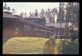
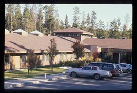
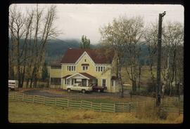
Image depicts Parkside Intermediate Care Home on Ospika Boulevard in Prince George. Map coordinates 53°55'02.6"N 122°47'41.6"W
Image depicts Parkside Intermediate Care Home on Ospika Boulevard in Prince George. Map coordinates 53°55'02.6"N 122°47'41.6"W
The item is a photograph depicting the canoe brigade on the Fraser River bringing their canoes to shore. This is part of the Parks Canada bicentennial celebration at Fort George Park. Two canoes can be seen surrounded by a crowd of people. Annotation on reverse side of picture states, "Brigade at Fort George Parks Canada Centennial 1985."
The item is a photograph depicting a parade in Fort George Park. There are multiple people dressed in clothes from the 1800s and one man in traditional Scottish garb playing a bagpipe. Two people are carrying the Canadian flag and the British Columbia provincial flag.
The item is a photograph depicting a parade in Fort George Park. There are multiple people dressed in clothes from the 1800s and one man in traditional Scottish garb playing a bagpipe. Four people are carrying Canadian flags, the British Columbia provincial flag and the British flag.
The item is a photograph depicting a group of people in front of a stage holding eight people giving a presentation.
The item is a photograph depicting the canoe brigade on the Fraser River paddling into Prince George. This is part of the Parks Canada bicentennial celebration at Fort George Park. Three canoes can be seen, one waving a Canadian flag and the other the British Columbia provincial flag.
The item is a photograph depicting the canoe brigade on the Fraser River paddling into Prince George. This is part of the Parks Canada bicentennial celebration at Fort George Park. Four canoes can be seen, one waving a Canadian flag.
The item is a photograph depicting three canoes on the Fraser River. The canoes are waving British flags. Annotation on the reverse side of photograph states, "Fraser River Mr. Kim O."
The item is a photograph depicting the canoe brigade on the Fraser River paddling into Prince George. This is part of the Parks Canada bicentennial celebration at Fort George Park.
The item is a photograph depicting the canoe brigade on the Fraser River paddling into Prince George. This is part of the Parks Canada bicentennial celebration at Fort George Park.
The item is a photograph depicting a crowd gathered in Fort George Park. The group is in a large circle surrounding a smaller crowd carrying various flags.
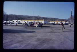
Image depicts a group of people throwing a frisbee in a parking lot at an uncertain location, likely in the Peace River Region.
Photograph depicts a parking lot and alleyway behind the Europe Hotel on 3rd Avenue.
This item is a photograph of a yellow parkade in downtown Prince George. Liquidation World can be seen in the background.
This item is a photograph of a yellow parkade in downtown Prince George.
The item is a photograph depicting to BC National Park Rangers and a woman standing in front of a sign giving the history of L. C. Gunn.
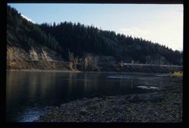
Image depicts the Fraser River at Paddlewheel park, with a train on the other side of the river, in Prince George B.C.
Image depicts the Fraser River at Paddlewheel park, with a train on the other side of the river, in Prince George B.C.
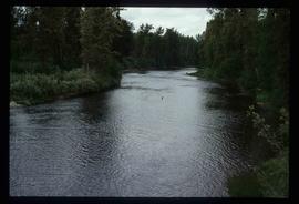
Image depicts the Pack River outlet at McLeod Lake.
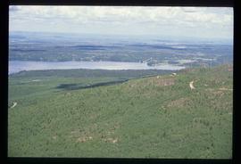
Image depicts a view over Tabor Mountain.
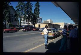
Image depicts a group of individuals on the sidewalk outside Spee-Dee Printers on Brunswick Street in Prince George, B.C.
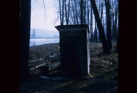
Image depicts what is likely an outhouse at Island Cache.
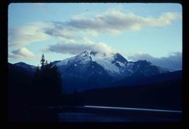
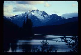
Image depicts the north aspect of Oscar Peak overlooking Lava Lake in the Nass Valley.
Image depicts the north aspect of Oscar Peak overlooking Lava Lake in the Nass Valley.
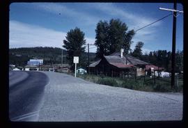
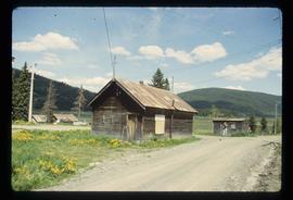
Image depicts a number of buildings at an uncertain location; the slide labels the older building in the image as potentially being the "original road house."
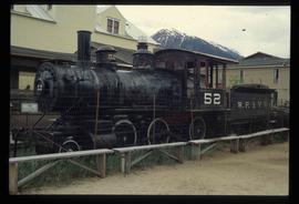
Image depicts the original steam engine for the White Pass Train, located in Skagway, Alaska.
Image depicts the original bank building in Wells, B.C.
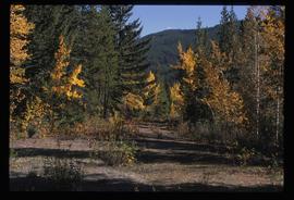
Image depicts an old road through the trees near Yellowhead Pass. The slide labels it as the origin of the Yellowhead highway.
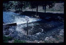
Image depicts water flowing through an irrigation channel in an orchard, somewhere in or near Seton Portage, B.C. There is a sign which reads: "Danger Keep out."
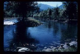
Image depicts water flowing through an irrigation channel in an orchard, somewhere in or near Seton Portage, B.C.
The item is a photograph depicting Hab King, Harold Moffat and Ted Williams at the opening of L. C. Gunn Park. Annotations on reverse side of photograph state, "3 Oct 88 Opening of Gunn Park #7 left on photo -> right Hab King Harold Moffat Ted Williams."
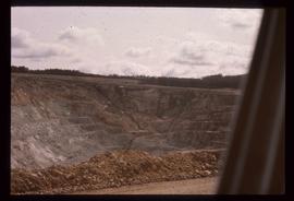
Image depicts an open mining pit at an uncertain location; it is possibly Gibraltar.
Photograph depicts an open grassy field surrounded by trees in Soda Creek.
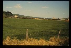
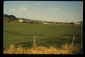
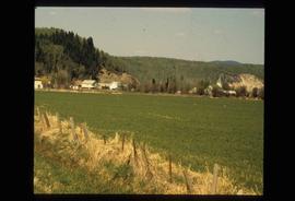
Image depicts a field in Giscome, B.C. On the right side of the image, in the background, is a grey strip that appears to be a mine, possibly the quarry at Eaglet Lake in Giscome, B.C. Map coordinates 54°03'52.9"N 122°22'10.0"W
Image depicts a field in Giscome, B.C. On the right side of the image, in the background, is a grey strip that appears to be a mine, possibly the quarry at Eaglet Lake in Giscome, B.C. Map coordinates 54°03'52.9"N 122°22'10.0"W
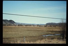
Image depicts an open field and Giscome, B.C. in the background. Map coordinates 54°03'52.9"N 122°22'10.0"W
Image depicts an open field and numerous buildings, including a church in Giscome, B.C. Map coordinates 54°04'03.2"N 122°22'04.6"W
Photograph depicts an open field and a dirt road surrounded by trees in an unknown location.
Photograph depicts an open field surrounded by trees.
Image depicts the Onward Ranch near Williams Lake, B.C.
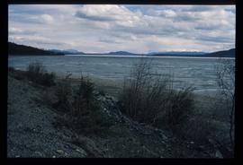
Image depicts a lake somewhere along what is possibly the Atlin Road to Atlin, B.C.
Image depicts a lake somewhere along what is possibly the Atlin Road to Atlin, B.C.
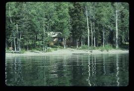
Image depicts a cabin on the "west arm" of Takla Lake.
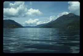
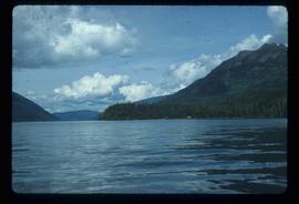
Image depicts the "west arm" of Takla Lake.
Image depicts the "west arm" of Takla Lake.
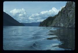
Image depicts the "north-west arm" of Takla lake.
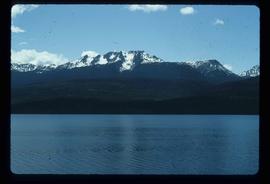
Image depicts a mountain and Takla Lake.
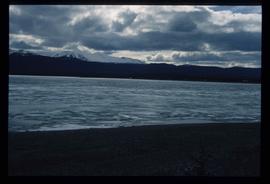
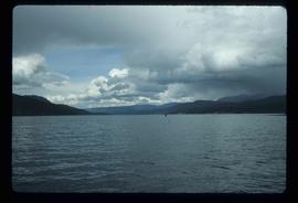
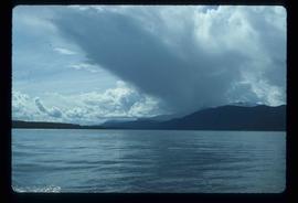
Image depicts a view of Takla Lake, "looking south-east."
Image depicts a view of Takla Lake, "looking north-west."
