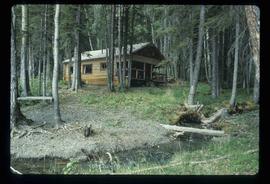
Image depicts a cabin on the "west arm" of Takla Lake.
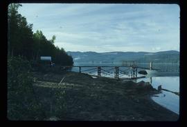
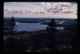
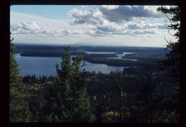
Image depicts a lake viewed "south-east from lodge;" it is possibly Takla Lake.
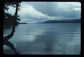
Image depicts a view of Takla Lake from a cabin on the "west arm."
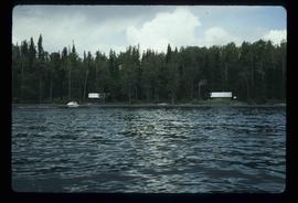
Image depicts two cabins on the shore near the lodge at Takla Lake.
Image depicts a view of Tabor Mountain in Prince George, B.C.
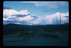
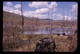
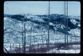
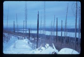
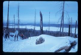
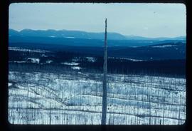
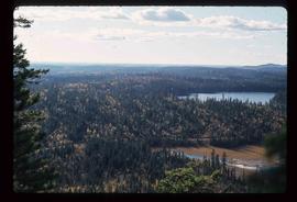
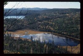
Image depicts a forest of dead trees on the slopes of Tabor Mountain in Prince George, B.C.
Image depicts a forest of dead trees on the slopes of Tabor Mountain in Prince George, B.C.
Image depicts a forest of dead trees on the slopes of Tabor Mountain in Prince George, B.C.
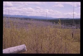
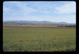
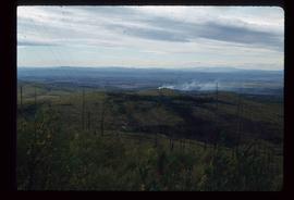
Image depicts a view of the area around Tabor Mountain in Prince George, B.C.
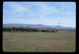
Image depicts Tabor Mountain in the distance, located in Prince George, B.C.
Image depicts a view of the area around Tabor Mountain in Prince George, B.C.
Image depicts Tabor Mountain from the airport in Prince George, B.C.
Image depicts a view of Prince George, from Gunn Point in the L.C. Gunn Park.
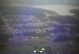
Image depicts the Tabor Lake Subdivision in Prince George, B.C.
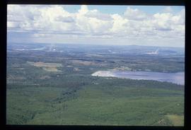
Image depicts a view of Tabor Lake.
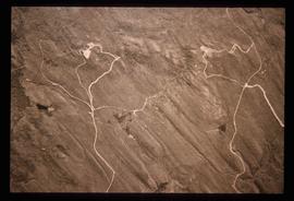
Image depicts grooving on Tabor Mountain in Prince George, B.C.
Image depicts grooves on Tabor Mountain in Prince George, B.C.
The item is a photograph depicting a wooden privy in a field where the site of the Sylvan Glade elementary school was located at Vivian Lake. Annotation on reverse side of photograph states, "Sylvan Glade school site #2, privy."
The item is a photograph depicting a wooden privy in a field where the site of the Sylvan Glade elementary school was located at Vivian Lake.
The item is a photograph depicting a field where the site where the Sylvan Glade elementary school was located at Vivian Lake. Annotation on reverse side of photograph states, "Sylvan Glade school site #1."
Image depicts numerous unknown individuals swimming in a lake or standing on a dock at an uncertain location.
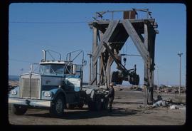
Image depicts a trailer for a logging truck suspended off the ground by a wooden structure. This is used to load the trailer onto the back of the truck. The name on the truck says "Rormarniewich Trucking Ltd."
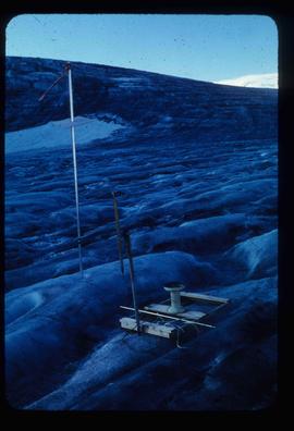
Image depicts objects, including a flag pole, that the slide labels as "survey equipment." The slide also places it as a "Peyto icefall," on the Peyto Galcier in the Banff National Park in Alberta, B.C.
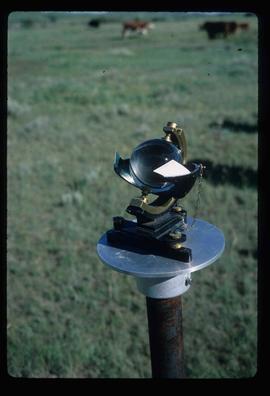
Image depicts a sunshine recorder at an uncertain location.
Image depicts the Sunset Theatre in Wells, B.C.
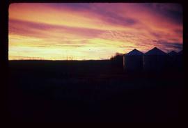
Image depicts a view of a sunset at an uncertain location, possibly in the Peace River Region.
Image depicts Summit Lake.
Image depicts Summit Lake.
Image depicts Summit Lake.
Image depicts Summit Lake.
Image depicts Sue Sedgwick standing on the bank of a river.
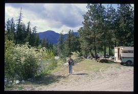
Image depicts Sue Sedgwick standing next to a camper.
Image depicts Sue Sedgwick holding what appears to be cooked pork and onions.
Image depicts Sue Sedgwick eating what appears to be cooked pork.
Image depicts Studio 2880 Arts Complex in Prince George, B.C. Map coordinates 53°54'36.9"N 122°46'30.3"W
Image depicts a building which is a part of the Studio 2880 Arts Complex on 15th Avenue in Prince George, B.C.
The photograph depicts a newspaper map of the business center in Stuart River, South of the Nechako River. Annotation on slide states, "Stuart R. townsite plan"
The item is a photograph of a street view looking west down 3rd Avenue Prince George. The Brick, Liquidation World, the TD building and other commercial businesses are visible.
The item is a photograph of a street view looking west down 3rd Avenue, Prince George. Royal Dry Cleaners, the TD building and other various commercial businesses are visible.
The item is a photograph of a street view looking west down 3rd Avenue Prince George. The TD building and various other commercial businesses are visible.
The item is a photograph of a street view looking east down 3rd Avenue Prince George. Various commercial businesses are visible.
The item is a photograph of a street view looking east down 3rd Avenue Prince George. The Brick, Liquidation World, Home Hardware and various other commercial businesses are visible.
The item is a photograph of a street view looking east down 3rd Avenue from Dominion Street in Prince George. Various commercial businesses are visible.
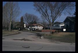
Image depicts a street of houses somewhere in Prince George, B.C.
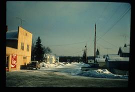
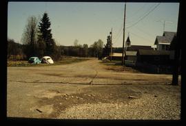
Image depicts a street in Giscome B.C. The Giscome Store is located on the left side of the image with the church in the background. Map coordinates 54°04'18.5"N 122°21'57.7"W
Image depicts a street in Giscome. The store was previously located on the left. The church is in the background. Map coordinates 54°04'18.5"N 122°21'57.7"W
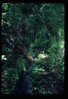
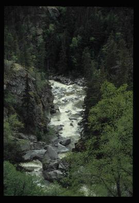
Image depicts a small stream running through a cluster of trees somewhere in or around Seton Portage, B.C.
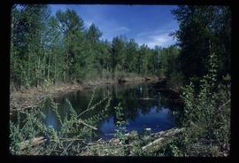
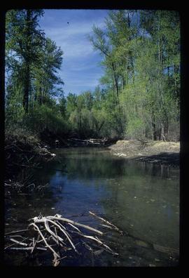
Image depicts a small stream somewhere on Cottonwood Island.
Image depicts a small stream somewhere on Cottonwood Island.
Image depicts a stream somewhere along the White Pass railway.
