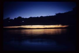
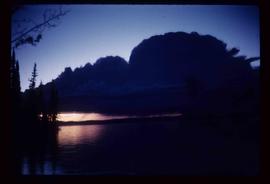
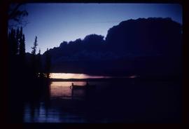
Image depicts Carp Lake at dusk.
Image depicts a green canoe sitting in the water on the shore of Carp Lake.
Image depicts a man holding a chain of fish on the shore of Carp Lake.
Image depicts a low rain cloud over Carp Lake.
Image depicts a low rain cloud over Carp Lake, and a man on a boat on the lake.
Image depicts a truck parked on the side of the Cassiar Highway.
Image depicts a Catholic Church in Stewart, B.C.
Image depicts the Catholic Church in Penny, B.C.
Image depicts Cayoosh Creek.
Image depicts Cayoosh Creek from a bridge in Cayoosh Valley.
Image depicts a bridge over Cayoosh Creek.
Image depicts a view of the scenery surrounding Cayoosh Creek.
Image depicts a view of Cayoosh Valley.
Image depicts a view of Cayoosh Valley. Cayoosh Creek is visible in the bottom left corner of the image.
Image depicts Cayoosh Valley.
Image depicts a mountain side in Cayoosh Valley.
Image depicts a road in Cayoosh Valley.
Image depicts an individual crouching in an old cemetery located somewhere in the coastal forest on Haida Gwaii, B.C.
Image depicts a chasm full of trees at an unknown location.
Image depicts the wall of a chasm full of trees at an unknown location.
Image depicts the Cheslatta Falls.
Image depicts what appears to be a tour group at Cheslatta.
Image depicts the Cheslatta River.
Image depicts a view of Chetwynd, possibly from Highway 97.
Image depicts a Chevron station as well as two motels in Chetwynd, B.C.
Image depicts a view of some farm land in Chetwynd, B.C.
Image depicts several houses in Chetwynd, B.C.
Image depicts several businesses in a small section of Chetwynd, B.C. There is a motor hotel and a half-visible sign for an Esso gas station.
Image depicts a view of a saw mill in Chetwynd, B.C.
Image depicts a number of townhouses in Chetwynd, B.C.
Image depicts a view of a train passing through an area of Chetwynd, B.C.
Image depicts what is possibly the Chilcotin River.