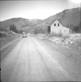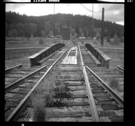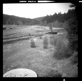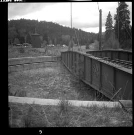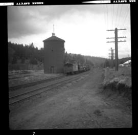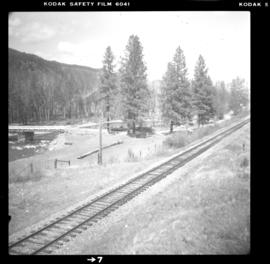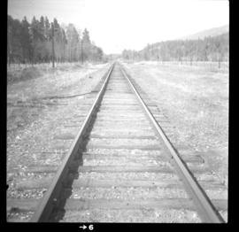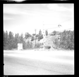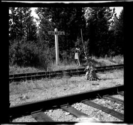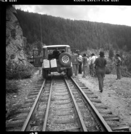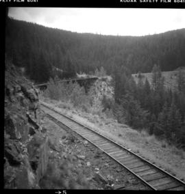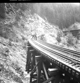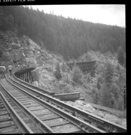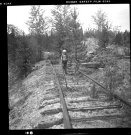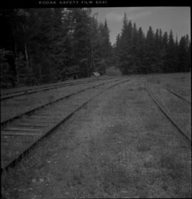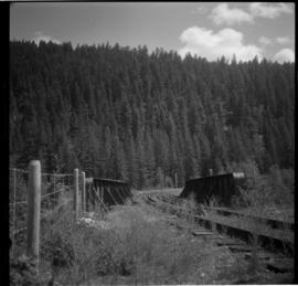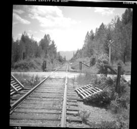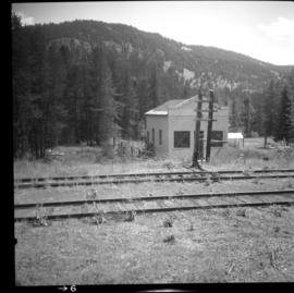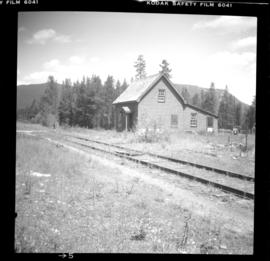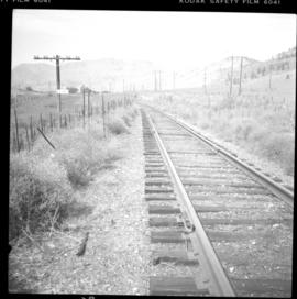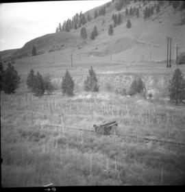
2013.6.36.1.019.07
·
Pièce
·
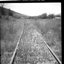
18 Mar. 1979
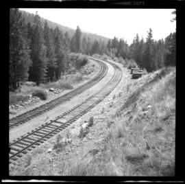
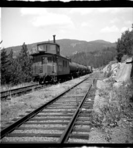
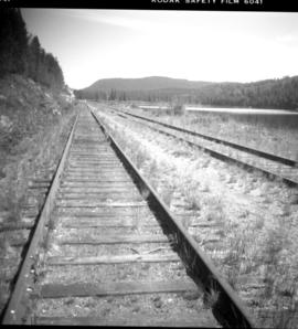
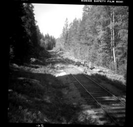
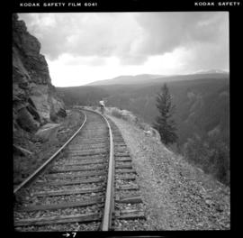
Fait partie de David Davies Railway Collection
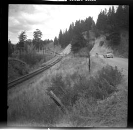
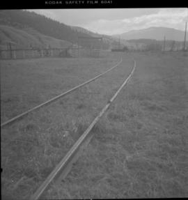
Photograph depicts the CPR Nicola branch at Nicola terminus, 7 miles east of Merritt. The view is looking west and about 100 yards behind the camera is the end of the rail.