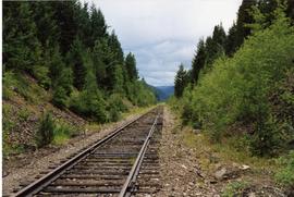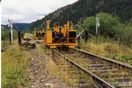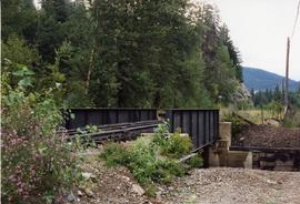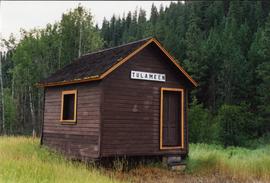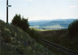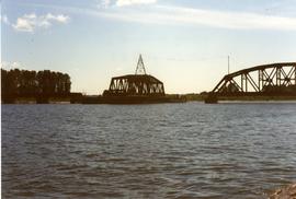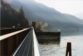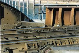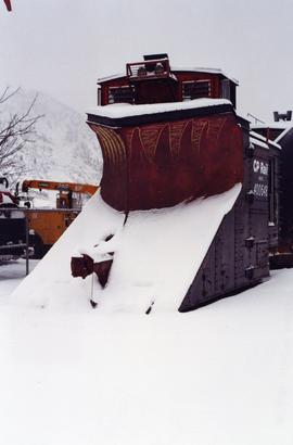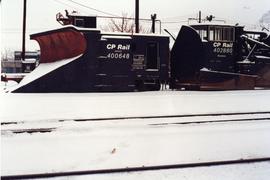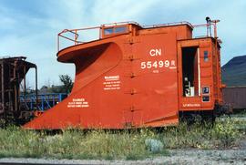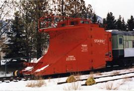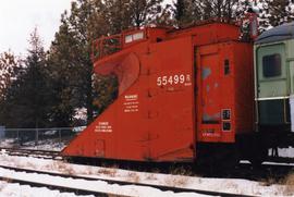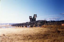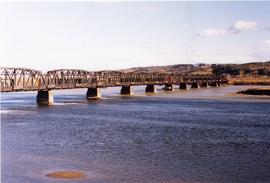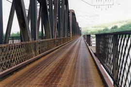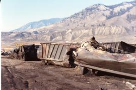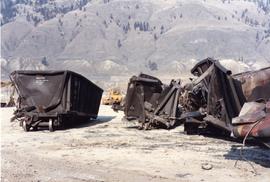
2013.6.36.1.149.04
·
Stuk
·
10 Aug. 1991
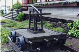
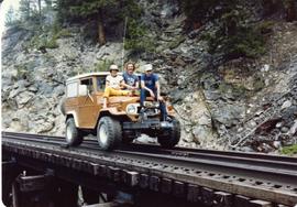
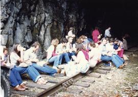
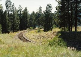
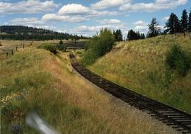
Part of David Davies Railway Collection
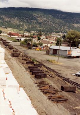
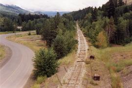
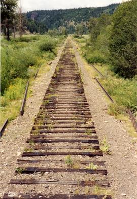
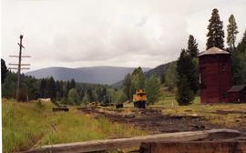
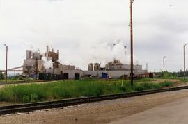
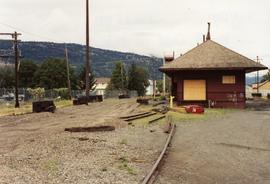
Photograph depicts the KVR depot in Merritt.