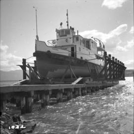
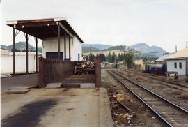
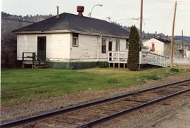
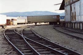
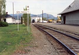
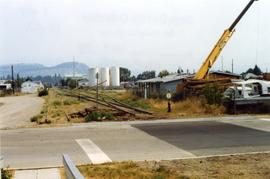
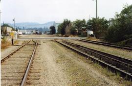
2013.6.35.31
·
Item
·
1968
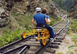
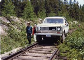
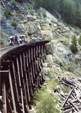
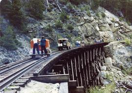
Part of David Davies Railway Collection
Map depicts the area around Wilkinson Creek near Carmi, BC. Annotated by Davies to show the Kettle Valley Railway.