2013.6.36.1.001.24
·
Item
·
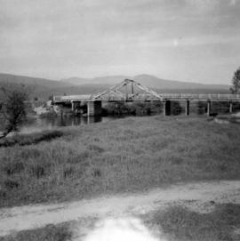
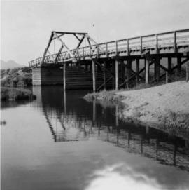
[June 1965]
Part of David Davies Railway Collection
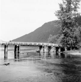
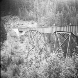
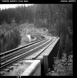
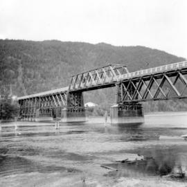
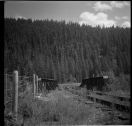
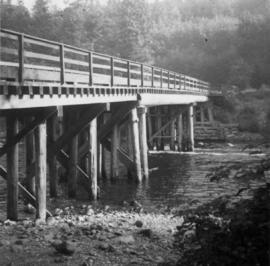
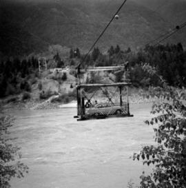
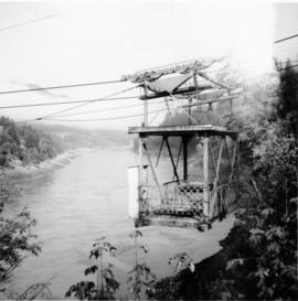
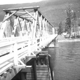
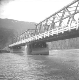
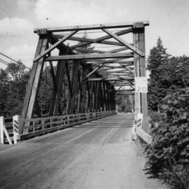
Photograph depicts a bridge over the Nanaimo River on the road between Nanaimo and Cedar-by-the-Sea, looking west, downstream to river.