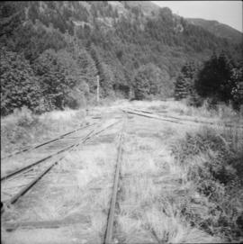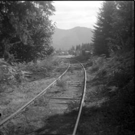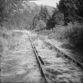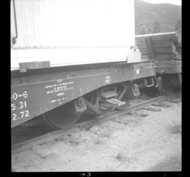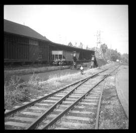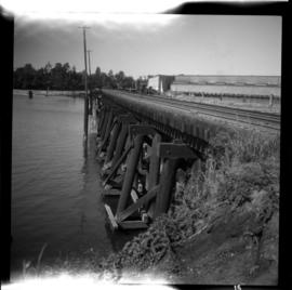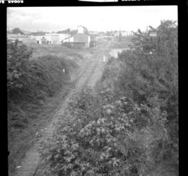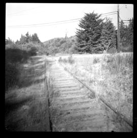
2013.6.36.1.053.33
·
Item
·
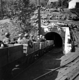
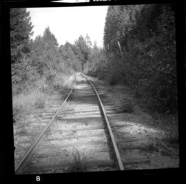
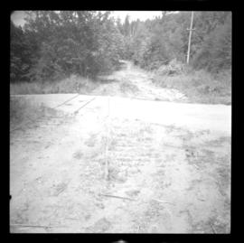
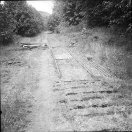
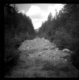
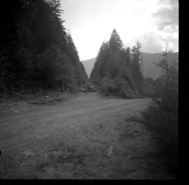
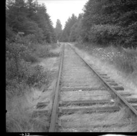
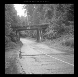
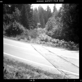
[June 1966]
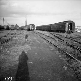
Part of David Davies Railway Collection
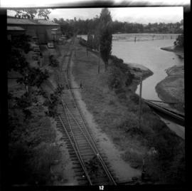
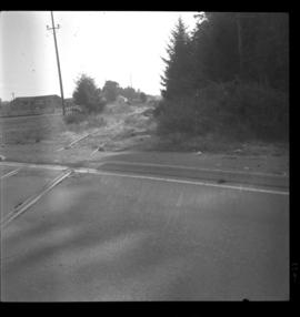
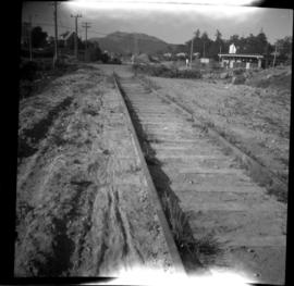
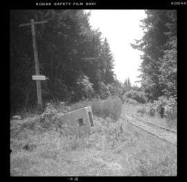
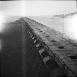
Photograph depicts coal wharves of a defunct railway that ran bewteen coallieries at Cumberland and Union Bay. The ground on the left appeared to be filled, recently dumped and bulldozed flat.