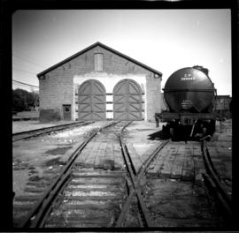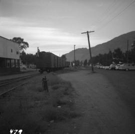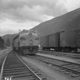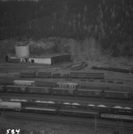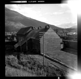
2013.6.36.1.016.47
·
Item
·
6 Sept. 1970
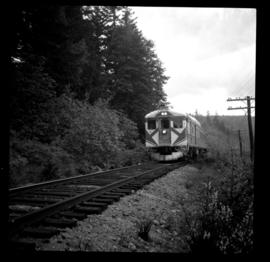
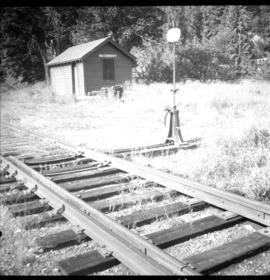
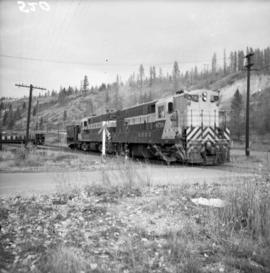
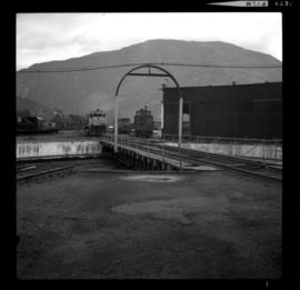
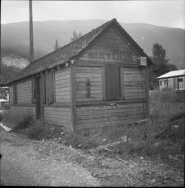
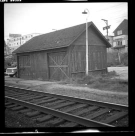
Part of David Davies Railway Collection
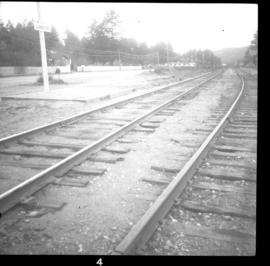
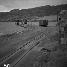
Photograph annotation states that image depicts a CPR warehouse located about 1/4 mile east of the Revelstoke depot, on the north side of the track. The view is looking east. Additional information provided by railway historian Tom W. Parkin: This building is the CPR icehouse at Revelstoke after a partial tear-down. The structure was built after 1929, when a similar facility near the locomotive shops was removed between 1920-29, possibly to make room for a larger turntable. The location is on the northwest edge of the CPR yards. Icehouses once made and stored blocks of ice for refrigeration of passenger coaches and (when crushed) for cooling fresh produce in "reefer cars" en route to market.