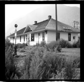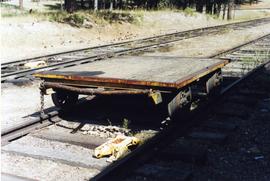
2013.6.36.1.151.07
·
Item
·
Sept. 2000
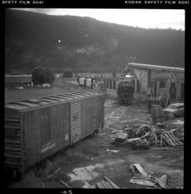
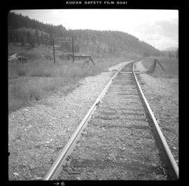
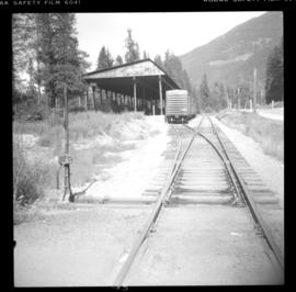
Part of David Davies Railway Collection
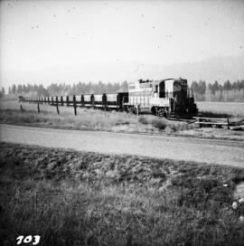
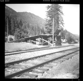
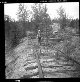
Photograph depicts a hand car at the Fort Steele Railway Museum. Built by Fairmont of Canada.